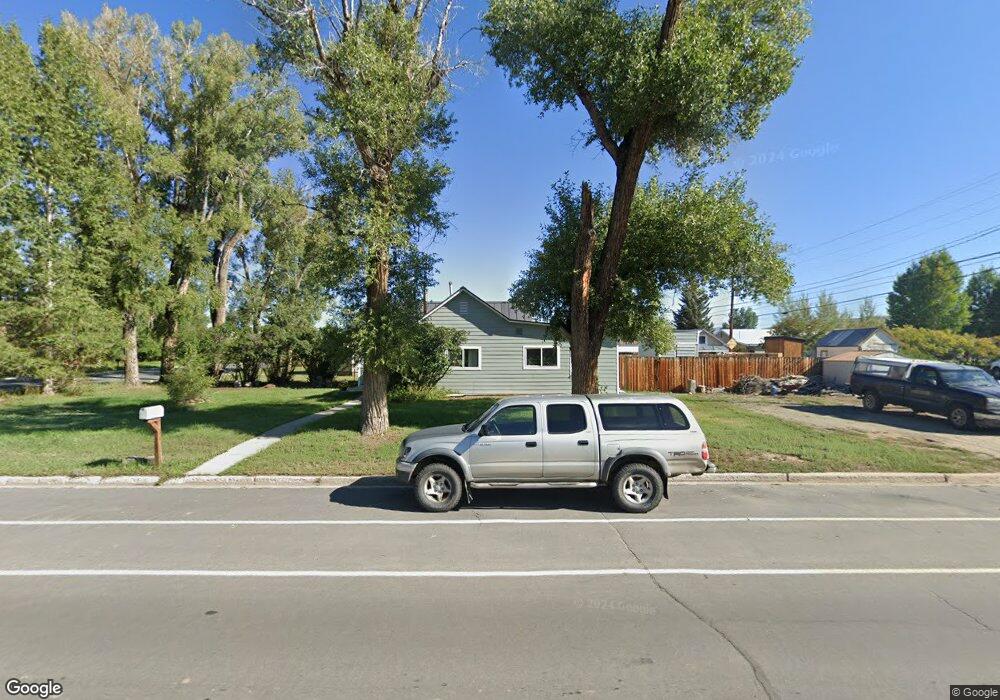
114 W Denver Ave Gunnison, CO 81230
Estimated Value: $471,529 - $582,000
3
Beds
1
Bath
1,146
Sq Ft
$455/Sq Ft
Est. Value
About This Home
This home is located at 114 W Denver Ave, Gunnison, CO 81230 and is currently estimated at $520,882, approximately $454 per square foot. 114 W Denver Ave is a home located in Gunnison County with nearby schools including Gunnison Elementary School, Gunnison Middle School, and Crested Butte Community School.
Ownership History
Date
Name
Owned For
Owner Type
Purchase Details
Closed on
Aug 20, 2010
Sold by
Duncan Craig Eugene
Bought by
Wiley Jonathan D and Cupples Wiley Corrie E
Current Estimated Value
Home Financials for this Owner
Home Financials are based on the most recent Mortgage that was taken out on this home.
Original Mortgage
$157,500
Interest Rate
4.58%
Mortgage Type
New Conventional
Purchase Details
Closed on
Jun 24, 1999
Sold by
Duncan Kevin Roy
Bought by
Duncan Graig Eugene
Purchase Details
Closed on
Sep 24, 1997
Sold by
Robbins
Bought by
Duncan
Purchase Details
Closed on
May 17, 1993
Create a Home Valuation Report for This Property
The Home Valuation Report is an in-depth analysis detailing your home's value as well as a comparison with similar homes in the area
Home Values in the Area
Average Home Value in this Area
Purchase History
| Date | Buyer | Sale Price | Title Company |
|---|---|---|---|
| Wiley Jonathan D | $175,000 | None Available | |
| Duncan Graig Eugene | $4,000 | -- | |
| Duncan | $132,000 | -- | |
| -- | $79,400 | -- |
Source: Public Records
Mortgage History
| Date | Status | Borrower | Loan Amount |
|---|---|---|---|
| Closed | Wiley Jonathan D | $157,500 |
Source: Public Records
Tax History Compared to Growth
Tax History
| Year | Tax Paid | Tax Assessment Tax Assessment Total Assessment is a certain percentage of the fair market value that is determined by local assessors to be the total taxable value of land and additions on the property. | Land | Improvement |
|---|---|---|---|---|
| 2024 | $1,177 | $26,210 | $11,580 | $14,630 |
| 2023 | $1,177 | $22,520 | $9,950 | $12,570 |
| 2022 | $1,271 | $21,220 | $4,690 | $16,530 |
| 2021 | $1,146 | $21,830 | $4,830 | $17,000 |
| 2020 | $1,000 | $17,950 | $4,740 | $13,210 |
| 2019 | $977 | $17,950 | $4,740 | $13,210 |
| 2018 | $745 | $13,260 | $4,580 | $8,680 |
| 2017 | $754 | $13,260 | $4,580 | $8,680 |
| 2016 | $746 | $13,170 | $3,150 | $10,020 |
Source: Public Records
Map
Nearby Homes
- 614 N Pine St
- 901 N Spruce St
- 913 N Pine St
- 506 N 14th St
- 416 N Taylor St
- TBD Spencer & Pine
- 520 W Elizabeth Ave
- 1144 N Colorado Cir
- 303 Tyler Ln Unit C
- Lot 3 W Denver Ave
- 216 N Taylor St
- 220 N Boulevard St Unit 17
- 436 N 11th St
- 410 N 11th St
- 316 Van Tuyl Cir
- 518 E Georgia Ave
- 107 N Teller St
- 1012 State Highway 135
- 43990 Highway 50
- 000 Highway 50
- 114 W Denver Ave Unit 1 Block East of Main
- 0 N Wisconsin St Unit 9659
- 701 N Main St
- 620 N Wisconsin St
- 618 N Wisconsin St
- 204 W Denver Ave
- 711 N Wisconsin St
- 610 N Wisconsin St
- 623 N Wisconsin St
- 611 N Main St
- 619 N Wisconsin St
- 608 N Wisconsin St
- 713 N Wisconsin St
- 615 N Wisconsin St
- 214 W Denver Ave
- 609 N Main St
- 606 N Wisconsin St
- 714 N Pine St
- 605 N Wisconsin St
- 805 N Main St