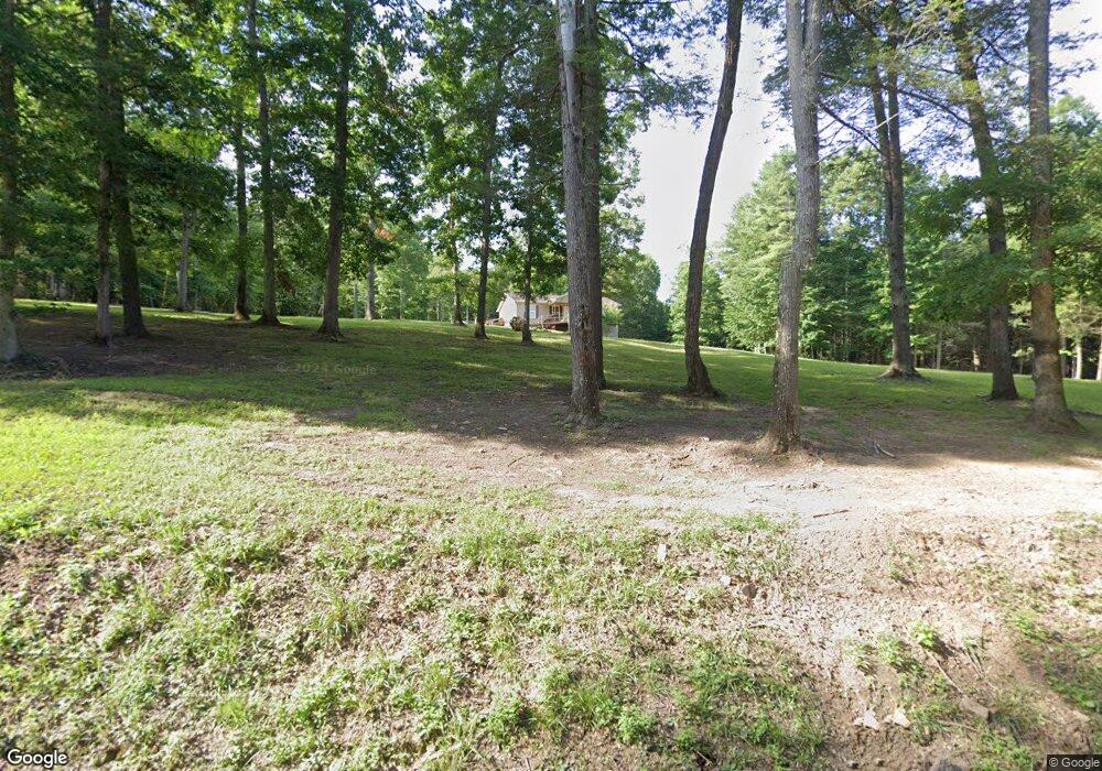
1140 Atomic Ln Oneida, TN 37841
Estimated Value: $129,613 - $176,000
Studio
1
Bath
768
Sq Ft
$205/Sq Ft
Est. Value
About This Home
This home is located at 1140 Atomic Ln, Oneida, TN 37841 and is currently estimated at $157,653, approximately $205 per square foot. 1140 Atomic Ln is a home located in Scott County with nearby schools including Scott High School.
Ownership History
Date
Name
Owned For
Owner Type
Purchase Details
Closed on
May 9, 2024
Sold by
Watters Roger Gene
Bought by
West Willard
Current Estimated Value
Purchase Details
Closed on
Feb 26, 2016
Sold by
Watters Roger As Trustee
Bought by
Watters Roger
Purchase Details
Closed on
Jan 26, 2012
Sold by
Dunphy Kitty
Bought by
Watters Roger As
Purchase Details
Closed on
Jun 12, 2009
Bought by
Appalachia Habitat For Humanity
Purchase Details
Closed on
Aug 25, 2008
Sold by
Heath Karen
Bought by
Dunphy Kitty
Purchase Details
Closed on
May 9, 2008
Sold by
Huckeby Charles E
Bought by
Karen Heath
Create a Home Valuation Report for This Property
The Home Valuation Report is an in-depth analysis detailing your home's value as well as a comparison with similar homes in the area
Home Values in the Area
Average Home Value in this Area
Purchase History
| Date | Buyer | Sale Price | Title Company |
|---|---|---|---|
| West Willard | -- | None Listed On Document | |
| Watters Roger | -- | -- | |
| Watters Roger As | -- | -- | |
| Appalachia Habitat For Humanity | $6,000 | -- | |
| Dunphy Kitty | $18,000 | -- | |
| Karen Heath | $18,000 | -- |
Source: Public Records
Tax History
| Year | Tax Paid | Tax Assessment Tax Assessment Total Assessment is a certain percentage of the fair market value that is determined by local assessors to be the total taxable value of land and additions on the property. | Land | Improvement |
|---|---|---|---|---|
| 2025 | $398 | $24,875 | $2,375 | $22,500 |
| 2024 | $398 | $24,875 | $2,375 | $22,500 |
| 2023 | $398 | $24,875 | $2,375 | $22,500 |
| 2022 | $310 | $12,575 | $1,475 | $11,100 |
| 2021 | $310 | $12,575 | $1,475 | $11,100 |
| 2020 | $310 | $12,575 | $1,475 | $11,100 |
| 2019 | $310 | $12,575 | $1,475 | $11,100 |
| 2018 | $310 | $12,575 | $1,475 | $11,100 |
| 2017 | $314 | $12,750 | $1,475 | $11,275 |
| 2016 | $303 | $12,750 | $1,475 | $11,275 |
| 2015 | $287 | $12,750 | $1,475 | $11,275 |
| 2014 | $287 | $12,750 | $1,475 | $11,275 |
Source: Public Records
Map
Nearby Homes
- 102 Ln
- 179 Clay Boyatt Rd
- 200 Brady Ln
- 160 Brady Ln
- 3561 Grave Hill Rd
- 1631 Grave Hill Rd
- 0 Big Ridge Rd
- 265 Grape Rough Rd
- 590 Litton Rd
- 354 Knots Landing Ln
- 135 Harold Brooks Ln
- 530 Pine Creek Rd
- 20064 Alberta St
- 0 N Alberta St
- 19421 Alberta St
- Tbd Grave Hill Rd
- 191 Ashley Ln
- 502 Municipal Dr
- 500 Stanley St
- 820 Sand Cut Rd
- 1095 Clay Boyatt Rd
- 862 Locust Ln
- 800 Locust Ln
- 1267 Forrest Ln
- 985 Locust Ln
- 911 Locust Ln
- 697 Locust Ln
- 757 Locust Ln
- 693 Locust Ln
- 655 Locust Ln
- 576 Atomic Ln
- 576 Atomic Ln
- 597 Locust Ln
- 683 Atomic Ln
- 725 Clay Boyatt Rd
- 499 Locust Ln
- 455 Locust Ln
- 1305 Fed Phillips Rd
- 1360 Phillips Flat Rd
- 930 Big Ridge Rd
Your Personal Tour Guide
Ask me questions while you tour the home.
