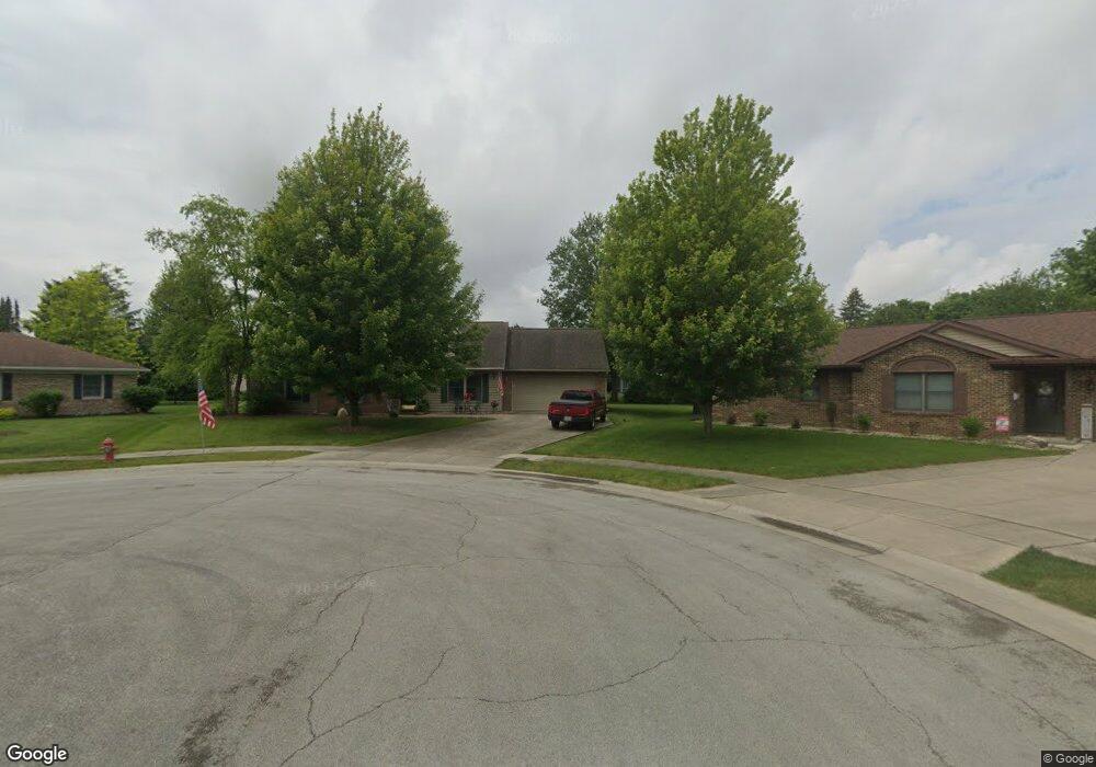
1140 Founders Cir van Wert, OH 45891
Estimated Value: $192,000 - $250,000
3
Beds
2
Baths
1,396
Sq Ft
$158/Sq Ft
Est. Value
About This Home
This home is located at 1140 Founders Cir, van Wert, OH 45891 and is currently estimated at $221,197, approximately $158 per square foot. 1140 Founders Cir is a home located in Van Wert County with nearby schools including Van Wert Early Childhood Center, Van Wert High School, and Lifelinks Community School.
Ownership History
Date
Name
Owned For
Owner Type
Purchase Details
Closed on
Sep 27, 2023
Sold by
Carol V Kohart Family Living Trust
Bought by
Germann Douglas L and Germann Marcia K
Current Estimated Value
Home Financials for this Owner
Home Financials are based on the most recent Mortgage that was taken out on this home.
Original Mortgage
$116,000
Outstanding Balance
$99,622
Interest Rate
7.09%
Mortgage Type
New Conventional
Estimated Equity
$121,575
Purchase Details
Closed on
Apr 16, 1999
Bought by
Kohart Carol V Family Li
Create a Home Valuation Report for This Property
The Home Valuation Report is an in-depth analysis detailing your home's value as well as a comparison with similar homes in the area
Home Values in the Area
Average Home Value in this Area
Purchase History
| Date | Buyer | Sale Price | Title Company |
|---|---|---|---|
| Germann Douglas L | $171,000 | None Listed On Document | |
| Kohart Carol V Family Li | $120,000 | -- |
Source: Public Records
Mortgage History
| Date | Status | Borrower | Loan Amount |
|---|---|---|---|
| Open | Germann Douglas L | $116,000 |
Source: Public Records
Tax History Compared to Growth
Tax History
| Year | Tax Paid | Tax Assessment Tax Assessment Total Assessment is a certain percentage of the fair market value that is determined by local assessors to be the total taxable value of land and additions on the property. | Land | Improvement |
|---|---|---|---|---|
| 2024 | $2,323 | $70,210 | $7,400 | $62,810 |
| 2023 | $2,323 | $70,210 | $7,400 | $62,810 |
| 2022 | $1,523 | $48,390 | $4,440 | $43,950 |
| 2021 | $1,483 | $48,390 | $4,440 | $43,950 |
| 2020 | $1,479 | $48,390 | $4,440 | $43,950 |
| 2019 | $1,282 | $42,460 | $4,440 | $38,020 |
| 2018 | $1,261 | $42,460 | $4,440 | $38,020 |
| 2017 | $1,261 | $42,460 | $4,440 | $38,020 |
| 2016 | $1,225 | $43,090 | $3,850 | $39,240 |
| 2015 | $1,225 | $43,090 | $3,850 | $39,240 |
| 2014 | $1,212 | $43,090 | $3,850 | $39,240 |
| 2013 | $1,305 | $43,090 | $3,850 | $39,240 |
Source: Public Records
Map
Nearby Homes
- 1006 Hughes St
- 1213 David St
- 927 Woodland Ave
- 1028 Westchester Ct
- 1055 Westchester Ct
- 736 Leeson Ave
- 729 George St
- 706 Woodland Ave
- 1421 Krendl Dr
- 510 Euclid Ave
- 522 South Ave
- 9188 John Brown Rd Unit Lot 37
- 9188 John Brown Rd Unit Lot 7
- 9188 John Brown Rd Unit LOT 60
- 9188 John Brown Rd Unit LOT 15
- 218 Burt St
- 960 Glenn St
- 1312 Rye Dr
- 1440 Moby Ct
- 1119 Gatsby Blvd