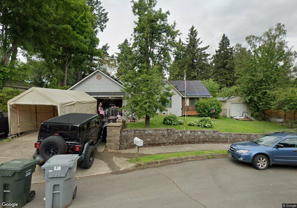
1140 Royal Ct West Linn, OR 97068
Willamette NeighborhoodEstimated Value: $580,362 - $716,000
5
Beds
3
Baths
2,227
Sq Ft
$288/Sq Ft
Est. Value
About This Home
This home is located at 1140 Royal Ct, West Linn, OR 97068 and is currently estimated at $641,591, approximately $288 per square foot. 1140 Royal Ct is a home located in Clackamas County with nearby schools including Willamette Primary School, Athey Creek Middle School, and West Linn High School.
Ownership History
Date
Name
Owned For
Owner Type
Purchase Details
Closed on
Dec 10, 2007
Sold by
Cloyd Kathryn L
Bought by
Marcotte Joseph D and Marcotte Yolanda D
Current Estimated Value
Purchase Details
Closed on
Sep 21, 2007
Sold by
Cloyd Kathryn L
Bought by
Marcotte Joseph D and Marcotte Yolanda D
Home Financials for this Owner
Home Financials are based on the most recent Mortgage that was taken out on this home.
Original Mortgage
$329,944
Interest Rate
6.61%
Mortgage Type
VA
Create a Home Valuation Report for This Property
The Home Valuation Report is an in-depth analysis detailing your home's value as well as a comparison with similar homes in the area
Home Values in the Area
Average Home Value in this Area
Purchase History
| Date | Buyer | Sale Price | Title Company |
|---|---|---|---|
| Marcotte Joseph D | -- | Transnation Title Agency Or | |
| Marcotte Joseph D | $327,000 | Transnation Title Agency Or |
Source: Public Records
Mortgage History
| Date | Status | Borrower | Loan Amount |
|---|---|---|---|
| Previous Owner | Marcotte Joseph D | $329,944 |
Source: Public Records
Tax History Compared to Growth
Tax History
| Year | Tax Paid | Tax Assessment Tax Assessment Total Assessment is a certain percentage of the fair market value that is determined by local assessors to be the total taxable value of land and additions on the property. | Land | Improvement |
|---|---|---|---|---|
| 2025 | $6,007 | $343,264 | -- | -- |
| 2024 | $5,004 | $292,538 | -- | -- |
| 2023 | $5,004 | $284,018 | $0 | $0 |
| 2022 | $4,723 | $275,746 | $0 | $0 |
| 2021 | $4,483 | $267,715 | $0 | $0 |
| 2020 | $4,514 | $259,918 | $0 | $0 |
| 2019 | $4,305 | $252,348 | $0 | $0 |
| 2018 | $4,081 | $244,998 | $0 | $0 |
| 2017 | $3,898 | $237,862 | $0 | $0 |
| 2016 | $3,795 | $230,934 | $0 | $0 |
| 2015 | $3,505 | $224,208 | $0 | $0 |
| 2014 | $3,352 | $217,678 | $0 | $0 |
Source: Public Records
Map
Nearby Homes
- 1160 Blankenship Rd
- 1101 Ryan Ct
- 812 Wendy Ct
- 1075 Epperly Way
- 2420 Margery St
- 2250 River Heights Cir
- 975 Springtree Ln
- 640 Springtree Ln
- 880 Springtree Ln Unit 880
- 800 Springtree Ln
- 850 Springtree Ln Unit 850
- 1925 Hillhouse Dr
- 1618 Village Park Place
- 2026 Virginia Ln
- 1765 Ostman Rd
- 1733 Jamie Cir
- 1640 Village Park Place
- 3565 Summerlinn Dr Unit 64
- 3395 Summerlinn Dr Unit 24
- 1791 Blankenship Rd
- 1150 Royal Ct
- 1130 Royal Ct
- 1153 Blankenship Rd
- 1139 Blankenship Rd
- 1177 Blankenship Rd
- 1155 Royal Ct
- 1155 Royal Ct (Relisted)
- 1135 Royal Ct
- 1125 Royal Ct
- 2277 Ostman Rd
- 1260 Farrview Ct
- 1121 Blankenship Rd
- 1191 Blankenship Rd
- 1145 Royal Ct
- 1270 Farrview Ct
- 1121 Royal Ct
- 1250 Farrview Ct
- 1215 Blankenship Rd
- 1115 Blankenship Rd