1140 W Shore Dr SW Hutchinson, MN 55350
Estimated Value: $488,629 - $607,000
4
Beds
3
Baths
2,079
Sq Ft
$261/Sq Ft
Est. Value
About This Home
This home is located at 1140 W Shore Dr SW, Hutchinson, MN 55350 and is currently estimated at $541,657, approximately $260 per square foot. 1140 W Shore Dr SW is a home located in McLeod County with nearby schools including Hutchinson West Elementary School, Hutchinson Park Elementary School, and Hutchinson Middle School.
Ownership History
Date
Name
Owned For
Owner Type
Purchase Details
Closed on
Dec 21, 2010
Sold by
Smith Edward F and Smith Cindy J
Bought by
King Robert E
Current Estimated Value
Home Financials for this Owner
Home Financials are based on the most recent Mortgage that was taken out on this home.
Original Mortgage
$260,600
Interest Rate
4.85%
Mortgage Type
Purchase Money Mortgage
Create a Home Valuation Report for This Property
The Home Valuation Report is an in-depth analysis detailing your home's value as well as a comparison with similar homes in the area
Home Values in the Area
Average Home Value in this Area
Purchase History
| Date | Buyer | Sale Price | Title Company |
|---|---|---|---|
| King Robert E | -- | Burnet Title Bloomington |
Source: Public Records
Mortgage History
| Date | Status | Borrower | Loan Amount |
|---|---|---|---|
| Previous Owner | King Robert E | $260,600 |
Source: Public Records
Tax History Compared to Growth
Tax History
| Year | Tax Paid | Tax Assessment Tax Assessment Total Assessment is a certain percentage of the fair market value that is determined by local assessors to be the total taxable value of land and additions on the property. | Land | Improvement |
|---|---|---|---|---|
| 2024 | $6,952 | $483,500 | $71,300 | $412,200 |
| 2023 | $6,722 | $466,700 | $71,300 | $395,400 |
| 2022 | $6,168 | $442,900 | $67,600 | $375,300 |
| 2021 | $5,796 | $369,400 | $59,000 | $310,400 |
| 2020 | $5,654 | $332,300 | $53,700 | $278,600 |
| 2019 | $5,134 | $316,300 | $53,700 | $262,600 |
| 2018 | $4,842 | $0 | $0 | $0 |
| 2017 | $4,546 | $0 | $0 | $0 |
| 2016 | $4,308 | $0 | $0 | $0 |
| 2015 | $3,894 | $0 | $0 | $0 |
| 2014 | -- | $0 | $0 | $0 |
Source: Public Records
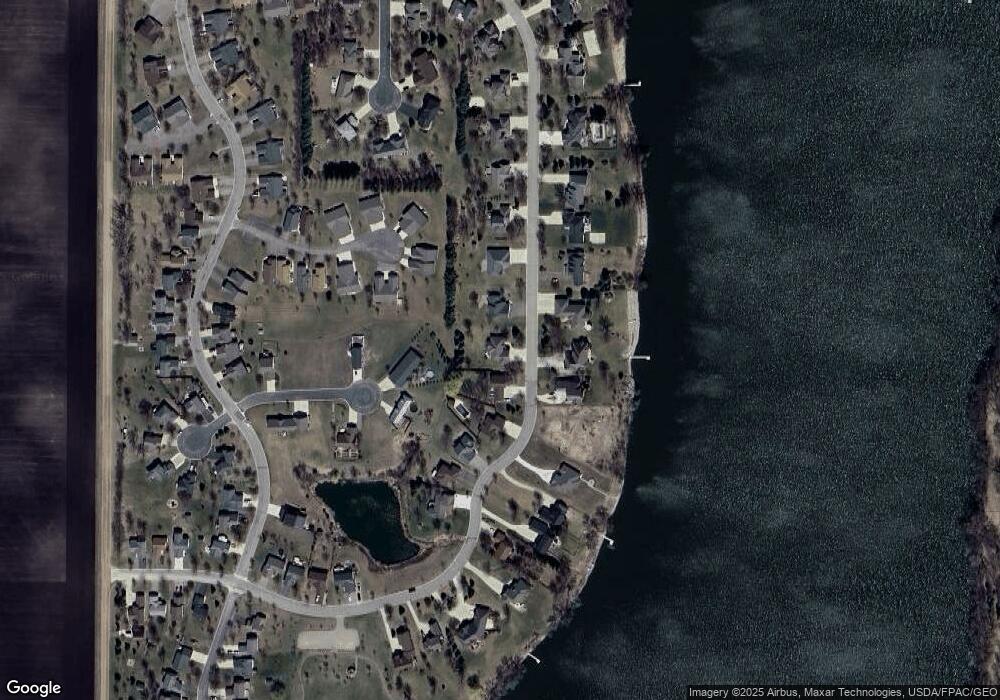
Map
Nearby Homes
- 1863 Island View Cir
- 660 Lakewood Dr SW
- 570 Jackson St SW
- XXX Airport Rd
- 1065 Blackbird Trail SW Unit 8
- 1031 Blackbird Trail SW Unit 10
- 1141 Blackbird Dr SW
- 1020 Roberts Rd SW
- 520 Graham St SW
- 735 Sunset St SW
- 724 Southview Dr SW
- 667 Madson Ave SW
- 000 Walden Ave
- 642 Juul Rd SW
- 301 Dale St SW
- 595 Milwaukee Ave SW
- 620 4th Ave SW
- 571 Juul Rd SW
- 545 4th Ave SW
- 540 Brown St SW
- 1140 W Shore Dr SW
- 1150 W Shore Dr SW
- 1120 W Shore Dr SW
- 1190 1190 W Shore Dr
- 1170 W Shore Dr SW
- 1145 W Shore Dr SW
- 1815 Island View Cir
- 1245 1245 W Shore-Drive-sw
- 1125 W Shore Dr SW
- 1155 W Shore Dr SW
- 1100 W Shore Dr SW
- 1185 1185 W Shore Dr
- 1820 Island View Cir
- 1180 W Shore Dr SW
- 1800 Scenic Heights Ct SW
- 1823 Island View Cir
- 1105 W Shore Dr SW
- 1808 Scenic Heights Ct SW
- 1803 Scenic Heights Ct
- 1165 W Shore Dr SW