11402 Mason Pit Rd Vanderbilt, MI 49795
Estimated Value: $398,000 - $440,000
--
Bed
--
Bath
--
Sq Ft
40
Acres
About This Home
This home is located at 11402 Mason Pit Rd, Vanderbilt, MI 49795 and is currently estimated at $415,848. 11402 Mason Pit Rd is a home located in Otsego County with nearby schools including Vanderbilt Area School.
Ownership History
Date
Name
Owned For
Owner Type
Purchase Details
Closed on
Jul 12, 2023
Sold by
Otsego County Treasurer
Bought by
Lopetrone Anthony and Lopetrone Deborah
Current Estimated Value
Purchase Details
Closed on
Jun 26, 2023
Sold by
Lopetrone Deborah
Bought by
Chapa Family Limited Partnerhsip
Purchase Details
Closed on
Mar 1, 2023
Sold by
Lopetrone Anthony
Bought by
Otsego County Treasurer
Purchase Details
Closed on
Feb 21, 2023
Sold by
Otsego County Treasurer
Bought by
Lopetrone Anthony and Lopetrone Deborah
Purchase Details
Closed on
Mar 1, 2022
Sold by
Lopetrone Anthony
Bought by
Otsego County Treasurer
Create a Home Valuation Report for This Property
The Home Valuation Report is an in-depth analysis detailing your home's value as well as a comparison with similar homes in the area
Home Values in the Area
Average Home Value in this Area
Purchase History
| Date | Buyer | Sale Price | Title Company |
|---|---|---|---|
| Lopetrone Anthony | $2,697 | -- | |
| Chapa Family Limited Partnerhsip | -- | -- | |
| Otsego County Treasurer | $2,548 | -- | |
| Lopetrone Anthony | $3,086 | -- | |
| Otsego County Treasurer | $2,628 | -- |
Source: Public Records
Tax History Compared to Growth
Tax History
| Year | Tax Paid | Tax Assessment Tax Assessment Total Assessment is a certain percentage of the fair market value that is determined by local assessors to be the total taxable value of land and additions on the property. | Land | Improvement |
|---|---|---|---|---|
| 2025 | $6,470 | $185,700 | $0 | $0 |
| 2024 | $1,738 | $165,700 | $0 | $0 |
| 2023 | $1,745 | $143,700 | $0 | $0 |
| 2022 | $1,662 | $132,200 | $0 | $0 |
| 2021 | $1,004 | $119,500 | $0 | $0 |
| 2020 | $1,862 | $113,900 | $0 | $0 |
| 2019 | $1,841 | $112,900 | $0 | $0 |
| 2018 | -- | $95,900 | $95,900 | $0 |
| 2017 | -- | $83,300 | $0 | $0 |
| 2016 | -- | $83,400 | $0 | $0 |
| 2013 | -- | $84,600 | $0 | $0 |
Source: Public Records
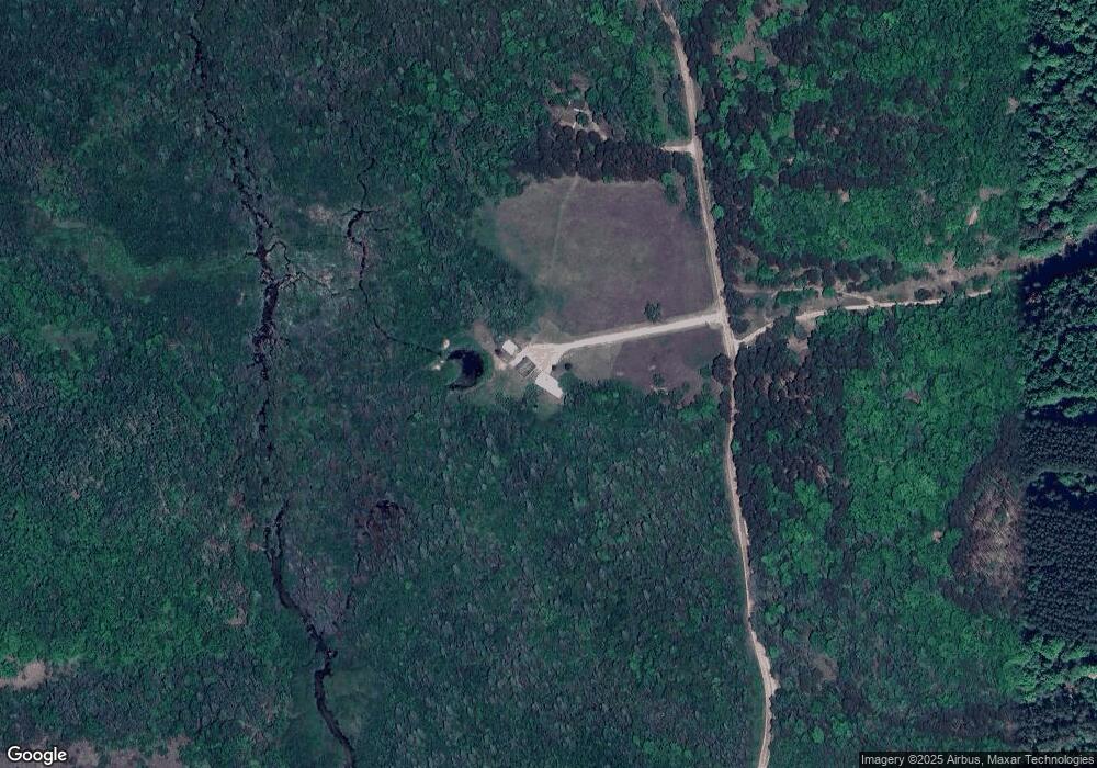
Map
Nearby Homes
- 1133 W Thumb Lake Rd
- 564 Wildwood Trail
- 0 S Straits Hwy Unit 201826308
- 765 Mcgregor Rd
- 16762 N Sunshine Trail
- 1601 Bear Paw Trail
- Unit #9 Bear Paw Trail
- 1800 Bear's Paw Trail
- 1308 S Magee Rd
- 201 Magee Rd N
- 2359 Watson Hills Trail
- 0 E Alexander Rd Unit 20251041446
- 373 Garfield St
- 7948 Elm St
- 7207 Airport Rd
- 14375 S Straits Hwy
- 6433 Old 27 Hwy N
- 9860 Bingham Rd
- 14721 Trowbridge Rd
- 6802 Mt Vernon Hills Dr
- 11401 Mason Pit Rd
- 11508 Mason Pit Rd
- 00 Mason Pit Rd
- 0 Mason Pit Rd Unit ,Off (133 Acres)
- 11075 Mason Pit Rd
- 11908 Mason Pit Rd
- 1064 Thumb Lake Rd
- 11501 Mason Pit Rd
- 1492 Thumb Lake Rd
- 895 Thumb Lake Rd
- 869 Thumb Lake Rd
- 11713 Mason Pit Rd
- 762 W Thumb Lake Rd
- 947 Thumb Lake Rd
- 762 Thumb Lake Rd
- 1399 Thumb Lake Rd
- 1399 Thumb Lake Rd
- 763 Thumb Lake Rd
- 1492 W Thumb Lake Rd
- 11757 Mason Pit Rd