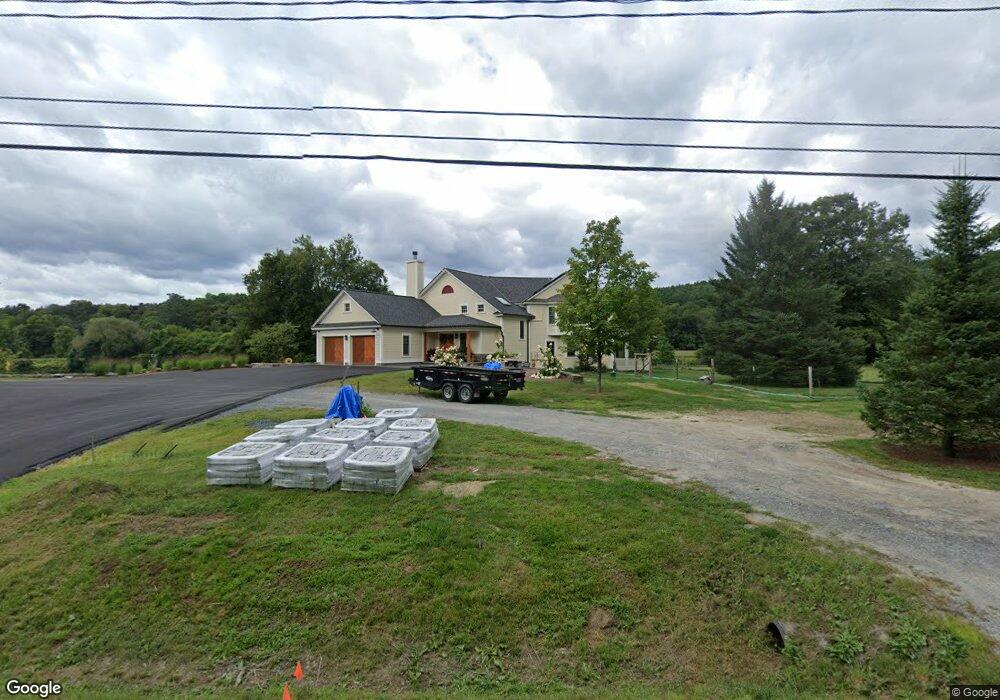
1141 Nh Route 10 Orford, NH 03777
Estimated Value: $1,158,000 - $1,597,000
3
Beds
4
Baths
3,417
Sq Ft
$413/Sq Ft
Est. Value
About This Home
This home is located at 1141 Nh Route 10, Orford, NH 03777 and is currently estimated at $1,410,765, approximately $412 per square foot. 1141 Nh Route 10 is a home located in Grafton County with nearby schools including Samuel Morey Elementary School and Rivendell Academy.
Ownership History
Date
Name
Owned For
Owner Type
Purchase Details
Closed on
May 24, 2019
Sold by
Garbarino William and Garbarino Carol
Bought by
J Feuille & N J Murray Ret
Current Estimated Value
Home Financials for this Owner
Home Financials are based on the most recent Mortgage that was taken out on this home.
Original Mortgage
$577,500
Outstanding Balance
$507,739
Interest Rate
4.2%
Estimated Equity
$903,026
Create a Home Valuation Report for This Property
The Home Valuation Report is an in-depth analysis detailing your home's value as well as a comparison with similar homes in the area
Home Values in the Area
Average Home Value in this Area
Purchase History
| Date | Buyer | Sale Price | Title Company |
|---|---|---|---|
| J Feuille & N J Murray Ret | $825,000 | -- |
Source: Public Records
Mortgage History
| Date | Status | Borrower | Loan Amount |
|---|---|---|---|
| Open | J Feuille & N J Murray Ret | $577,500 |
Source: Public Records
Tax History Compared to Growth
Tax History
| Year | Tax Paid | Tax Assessment Tax Assessment Total Assessment is a certain percentage of the fair market value that is determined by local assessors to be the total taxable value of land and additions on the property. | Land | Improvement |
|---|---|---|---|---|
| 2024 | $32,974 | $948,900 | $209,500 | $739,400 |
| 2023 | $23,802 | $727,900 | $209,500 | $518,400 |
| 2022 | $20,563 | $727,900 | $209,500 | $518,400 |
| 2021 | $19,260 | $727,900 | $209,500 | $518,400 |
| 2020 | $18,897 | $723,200 | $209,500 | $513,700 |
| 2019 | $16,903 | $563,800 | $209,500 | $354,300 |
| 2018 | $15,696 | $563,800 | $209,500 | $354,300 |
| 2016 | $15,426 | $563,800 | $209,500 | $354,300 |
| 2015 | $18,245 | $563,800 | $209,500 | $354,300 |
| 2014 | $16,280 | $614,800 | $237,300 | $377,500 |
| 2012 | $15,265 | $614,800 | $237,300 | $377,500 |
Source: Public Records
Map
Nearby Homes
- 106 Cliff Mull Ln
- 00 New Hampshire 10 Unit 58C
- 00 New Hampshire 10 Unit 58B
- 68 Norris Rd
- 588 Nh Route 10
- 594 Nh Route 10
- 233 Dame Hill Rd
- 160 Route 25c
- 404 New Hampshire 10
- 329 Dame Hill Rd
- 239 Nh Route 25c
- 2613 New Hampshire 25a
- 58 Huckins Hill Rd
- 793 S Main St
- 1350 Terry Hill Rd
- 284 Cross Rd
- 56 S Pleasant St
- 1179 New Hampshire 25a
- 1179 New Hampshire 25a Unit Lot E
- 1179 New Hampshire 25a Unit Lot D
- 1141 New Hampshire 10
- 1157 Nh Route 10
- Lot 47B Nh Route 10
- 1142 Nh Route 10
- 1128 Nh Route 10
- 1177 Nh Route 10
- 1111 Nh Route 10
- 0 Nh Route 10 Unit 4153799
- 0 Nh Route 10 Unit 4052216
- 23 River Cottage Ln
- 1178 Nh Route 10
- 1187 Nh Route 10
- 1110 Nh Route 10
- 27 River Cottage Ln
- 14 Cottonstone Farm Ln
- 31 River Cottage Ln
- 1096 Nh Route 10
- 37 River Cottage Ln
- 1084 Nh Route 10
- 1216 Nh Route 10