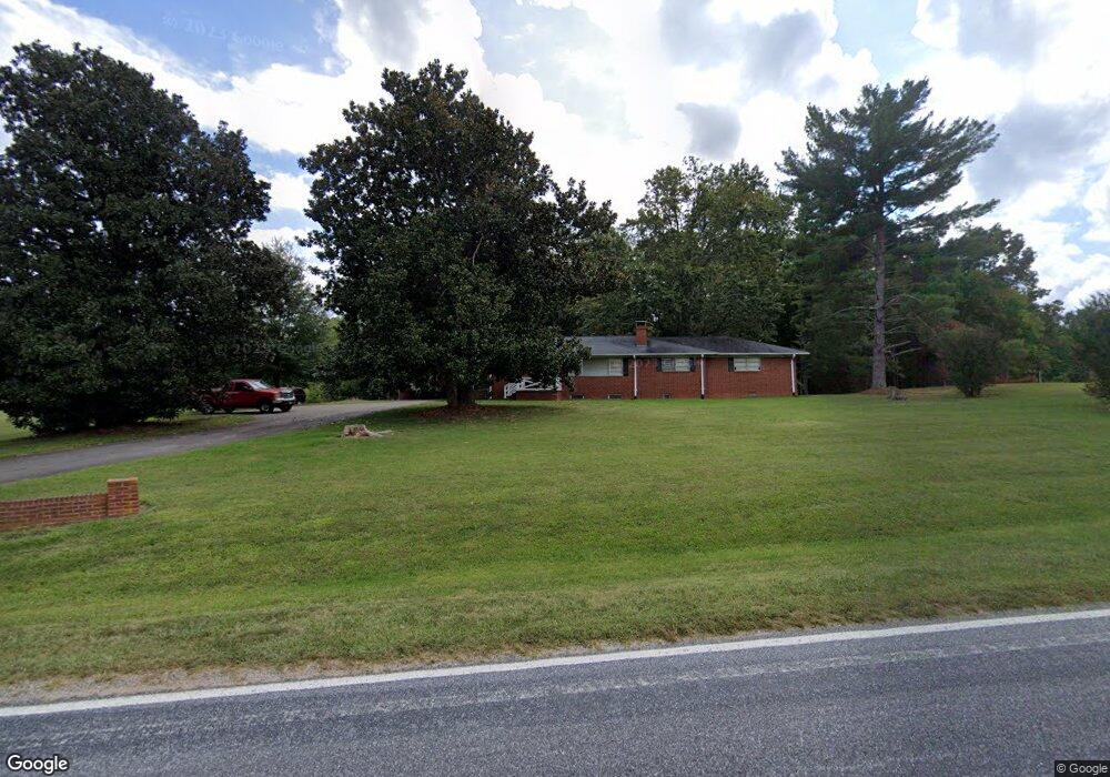
1141 Perkinson Rd Ruffin, NC 27326
Estimated Value: $272,050 - $354,000
Studio
1
Bath
2,058
Sq Ft
$153/Sq Ft
Est. Value
About This Home
This home is located at 1141 Perkinson Rd, Ruffin, NC 27326 and is currently estimated at $315,763, approximately $153 per square foot. 1141 Perkinson Rd is a home located in Rockingham County with nearby schools including Lincoln Elementary School, Rockingham County Middle School, and Rockingham County High School.
Ownership History
Date
Name
Owned For
Owner Type
Purchase Details
Closed on
Oct 9, 2018
Sold by
Wilson Robert A and Wilson Deanna E
Bought by
Gilley Michael Glenn
Current Estimated Value
Purchase Details
Closed on
Nov 29, 2012
Sold by
Powell W Conrad W and Powell Terry J
Bought by
Gilley Michael G and Gilley Wendy M
Home Financials for this Owner
Home Financials are based on the most recent Mortgage that was taken out on this home.
Original Mortgage
$120,000
Interest Rate
3.44%
Mortgage Type
Seller Take Back
Create a Home Valuation Report for This Property
The Home Valuation Report is an in-depth analysis detailing your home's value as well as a comparison with similar homes in the area
Purchase History
| Date | Buyer | Sale Price | Title Company |
|---|---|---|---|
| Gilley Michael Glenn | $500 | None Available | |
| Gilley Michael G | $155,000 | None Available |
Source: Public Records
Mortgage History
| Date | Status | Borrower | Loan Amount |
|---|---|---|---|
| Previous Owner | Gilley Michael G | $120,000 |
Source: Public Records
Tax History
| Year | Tax Paid | Tax Assessment Tax Assessment Total Assessment is a certain percentage of the fair market value that is determined by local assessors to be the total taxable value of land and additions on the property. | Land | Improvement |
|---|---|---|---|---|
| 2025 | $1,907 | $283,583 | $30,767 | $252,816 |
| 2024 | $1,907 | $283,583 | $30,767 | $252,816 |
| 2023 | $1,907 | $151,049 | $27,970 | $123,079 |
| 2022 | $1,050 | $151,049 | $27,970 | $123,079 |
| 2021 | $1,050 | $151,049 | $27,970 | $123,079 |
| 2020 | $1,050 | $151,049 | $27,970 | $123,079 |
| 2019 | $1,050 | $151,049 | $27,970 | $123,079 |
| 2018 | $1,071 | $153,920 | $37,320 | $116,600 |
| 2017 | $1,071 | $153,920 | $37,320 | $116,600 |
| 2015 | $1,082 | $153,920 | $37,320 | $116,600 |
| 2014 | $1,071 | $153,920 | $37,320 | $116,600 |
Source: Public Records
Map
Nearby Homes
- 1191 Perkinson Rd
- 979 Perkinson Rd
- 880 Perkinson Rd
- 0 Stewart Rd
- 166 Little Creek Ln
- 500 Stephens Rd
- 0.10+/- Acres Off of Pineknot Dr
- 118 Goose Pond Rd
- 278 Williamson Creek Rd
- 135 Old Cabin Rd
- 1565 Gravel Hill Rd
- 525 Chumney Loop
- 1920 Ashby St
- 1923 South
- 9729 Nc Highway 700
- 0 Witcher Trail Unit 1179616
- 120 Dillard Ct
- 00 Bluestone Rd
- 7.37 AC Berry Hill Rd
- 9841 N Carolina 700
- 1122 Perkinson Rd
- 1191 Perkinson Rd
- 1191 Perkinson Rd
- 1191 Perkinson Rd
- 1191 Perkinson Rd
- 1191 Perkinson Rd
- 00 Leonard Rd
- Lot 2 Perkinson Rd
- 102 +/- ACRES Perkinson Rd
- 1274 Perkinson Rd
- 1050 Perkinson Rd
- 1030 Perkinson Rd
- 1020 Perkinson Rd
- 1249 Perkinson Rd
- 958 Perkinson Rd
- 763 Perkinson Rd
- 1332 Perkinson Rd
- 0 Perkinson Rd
- 00 Leonard Dr
- 1411 Perkinson Rd
Your Personal Tour Guide
Ask me questions while you tour the home.