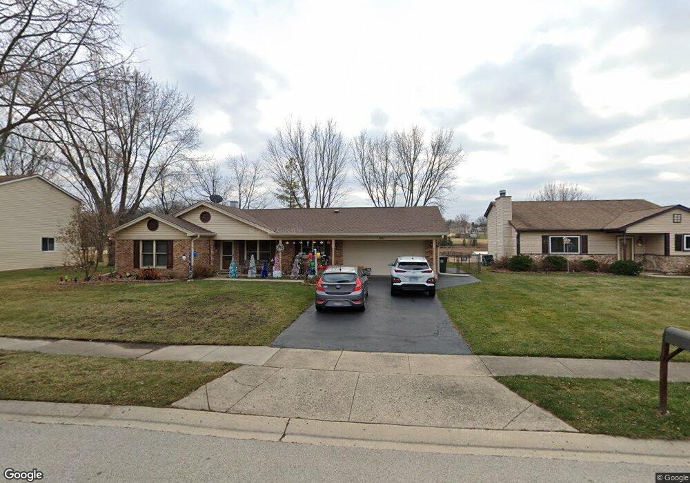
1141 Sandpebble Cir Algonquin, IL 60102
High Hill Farms NeighborhoodEstimated Value: $272,591 - $355,000
2
Beds
1
Bath
1,045
Sq Ft
$318/Sq Ft
Est. Value
About This Home
This home is located at 1141 Sandpebble Cir, Algonquin, IL 60102 and is currently estimated at $331,898, approximately $317 per square foot. 1141 Sandpebble Cir is a home located in McHenry County with nearby schools including Westfield Community School, Kenneth E Neubert Elementary School, and United Junior High School.
Ownership History
Date
Name
Owned For
Owner Type
Purchase Details
Closed on
Dec 22, 2021
Sold by
Hosp Marvin F & Denise A
Bought by
Hosp Denise A and Hosp Marvin F
Current Estimated Value
Home Financials for this Owner
Home Financials are based on the most recent Mortgage that was taken out on this home.
Original Mortgage
$159,000
Outstanding Balance
$136,213
Interest Rate
3.12%
Mortgage Type
New Conventional
Estimated Equity
$195,685
Create a Home Valuation Report for This Property
The Home Valuation Report is an in-depth analysis detailing your home's value as well as a comparison with similar homes in the area
Home Values in the Area
Average Home Value in this Area
Purchase History
| Date | Buyer | Sale Price | Title Company |
|---|---|---|---|
| Hosp Denise A | -- | None Listed On Document |
Source: Public Records
Mortgage History
| Date | Status | Borrower | Loan Amount |
|---|---|---|---|
| Open | Hosp Denise A | $159,000 |
Source: Public Records
Tax History Compared to Growth
Tax History
| Year | Tax Paid | Tax Assessment Tax Assessment Total Assessment is a certain percentage of the fair market value that is determined by local assessors to be the total taxable value of land and additions on the property. | Land | Improvement |
|---|---|---|---|---|
| 2024 | $2,033 | $80,533 | $24,224 | $56,309 |
| 2023 | $2,176 | $72,026 | $21,665 | $50,361 |
| 2022 | $2,658 | $66,475 | $21,044 | $45,431 |
| 2021 | $2,750 | $61,929 | $19,605 | $42,324 |
| 2020 | $2,783 | $59,737 | $18,911 | $40,826 |
| 2019 | $2,846 | $57,175 | $18,100 | $39,075 |
| 2018 | $2,954 | $52,818 | $16,721 | $36,097 |
| 2017 | $3,086 | $49,758 | $15,752 | $34,006 |
| 2016 | $3,259 | $46,669 | $14,774 | $31,895 |
| 2013 | -- | $41,994 | $13,783 | $28,211 |
Source: Public Records
Map
Nearby Homes
- 721 Brentwood Ct
- 1235 Fairmont Ct
- 615 Harper Dr
- 266 Grandview Ct
- 16 Brian Ct
- 909 Roger St
- 1431 Essex St
- 700 Fairfield Ln
- 1 N Hubbard St
- SWC Talaga and Algonquin Rd
- 807 Menominee Dr
- 809 Menominee Dr
- 102 Center St
- LOT 3 Blackhawk Dr
- 1820 Crofton Dr
- 135 Arquilla Dr
- 741 Regal Ln
- 937 Mesa Dr
- 900 Windstone Ct
- Lots 10 & 11 Ramble Rd
- 1131 Sandpebble Cir
- 450 Shagbark Ct
- 1121 Sandpebble Cir
- 441 Shagbark Ct
- 450 Candlewood Ct
- 440 Shagbark Ct
- 1111 Sandpebble Cir
- 440 Candlewood Ct
- 431 Shagbark Ct
- 430 Shagbark Ct
- 430 Candlewood Ct Unit 5
- 421 Shagbark Ct
- 461 Candlewood Ct
- 451 Candlewood Ct
- 420 Shagbark Ct
- 1101 Sandpebble Cir
- 471 Candlewood Ct
- 420 Candlewood Ct
- 441 Candlewood Ct
- 411 Shagbark Ct