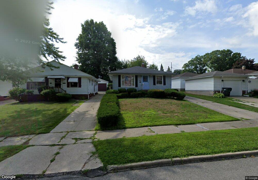
11412 Hempstead Rd Cleveland, OH 44125
Estimated Value: $117,000 - $159,000
3
Beds
1
Bath
1,064
Sq Ft
$128/Sq Ft
Est. Value
About This Home
This home is located at 11412 Hempstead Rd, Cleveland, OH 44125 and is currently estimated at $135,722, approximately $127 per square foot. 11412 Hempstead Rd is a home located in Cuyahoga County with nearby schools including Garfield Heights High School, North Shore High School, and St Benedict Catholic School.
Ownership History
Date
Name
Owned For
Owner Type
Purchase Details
Closed on
Sep 23, 2025
Sold by
Fabi Winifredo N and Singson-Fabi Elizabeth F
Bought by
Quest Property Holdings Llc
Current Estimated Value
Purchase Details
Closed on
Apr 21, 1993
Sold by
Pesta Richard T
Bought by
Fabi Winifredo N
Purchase Details
Closed on
Jun 21, 1991
Sold by
Stolarski Joseph E and Stolarski M
Bought by
Pesta Richard T
Purchase Details
Closed on
Jan 1, 1975
Bought by
Stolarski Joseph E and Stolarski M
Create a Home Valuation Report for This Property
The Home Valuation Report is an in-depth analysis detailing your home's value as well as a comparison with similar homes in the area
Home Values in the Area
Average Home Value in this Area
Purchase History
| Date | Buyer | Sale Price | Title Company |
|---|---|---|---|
| Quest Property Holdings Llc | $70,000 | Nova Title | |
| Fabi Winifredo N | $81,000 | -- | |
| Pesta Richard T | $75,000 | -- | |
| Stolarski Joseph E | -- | -- |
Source: Public Records
Tax History Compared to Growth
Tax History
| Year | Tax Paid | Tax Assessment Tax Assessment Total Assessment is a certain percentage of the fair market value that is determined by local assessors to be the total taxable value of land and additions on the property. | Land | Improvement |
|---|---|---|---|---|
| 2024 | $3,857 | $48,370 | $8,050 | $40,320 |
| 2023 | $2,603 | $32,910 | $5,780 | $27,130 |
| 2022 | $2,606 | $32,900 | $5,780 | $27,130 |
| 2021 | $2,756 | $32,900 | $5,780 | $27,130 |
| 2020 | $2,163 | $26,320 | $4,620 | $21,700 |
| 2019 | $2,144 | $75,200 | $13,200 | $62,000 |
| 2018 | $2,228 | $26,320 | $4,620 | $21,700 |
| 2017 | $2,197 | $25,690 | $3,850 | $21,840 |
| 2016 | $2,230 | $25,690 | $3,850 | $21,840 |
| 2015 | $1,832 | $25,690 | $3,850 | $21,840 |
| 2014 | $1,832 | $23,800 | $4,060 | $19,740 |
Source: Public Records
Map
Nearby Homes
- 5570 Cumberland Dr
- 11611 Fordham Rd
- 5581 Saxon Dr
- 11808 Fordham Rd
- 5552 Briarcliff Dr
- 11813 Willard Ave
- 12119 Woodward Blvd
- 12313 Eastwood Blvd
- 12214 Woodward Blvd
- 12324 Oak Park Blvd
- 10808 Mountview Ave
- 11520 Granger Rd
- 11509 Granger Rd
- 11703 Granger Rd
- 5293 E 115th St
- 12512 York Blvd
- 11923 Granger Rd
- 5781 Turney Rd
- 10927 Granger Rd
- 12813 Oak Park Blvd
- 11416 Hempstead Rd
- 11420 Hempstead Rd
- 5565 Cumberland Dr
- 5569 Cumberland Dr
- 5573 Cumberland Dr
- 11429 Bradwell Rd
- 11424 Hempstead Rd
- 11425 Bradwell Rd
- 11433 Bradwell Rd
- 11503 Bradwell Rd
- 11428 Hempstead Rd
- 5577 Cumberland Dr
- 11507 Bradwell Rd
- 11421 Hempstead Rd
- 5553 Cumberland Dr
- 11511 Bradwell Rd
- 5583 Cumberland Dr
- 11432 Hempstead Rd
- 11425 Hempstead Rd
- 5545 Cumberland Dr