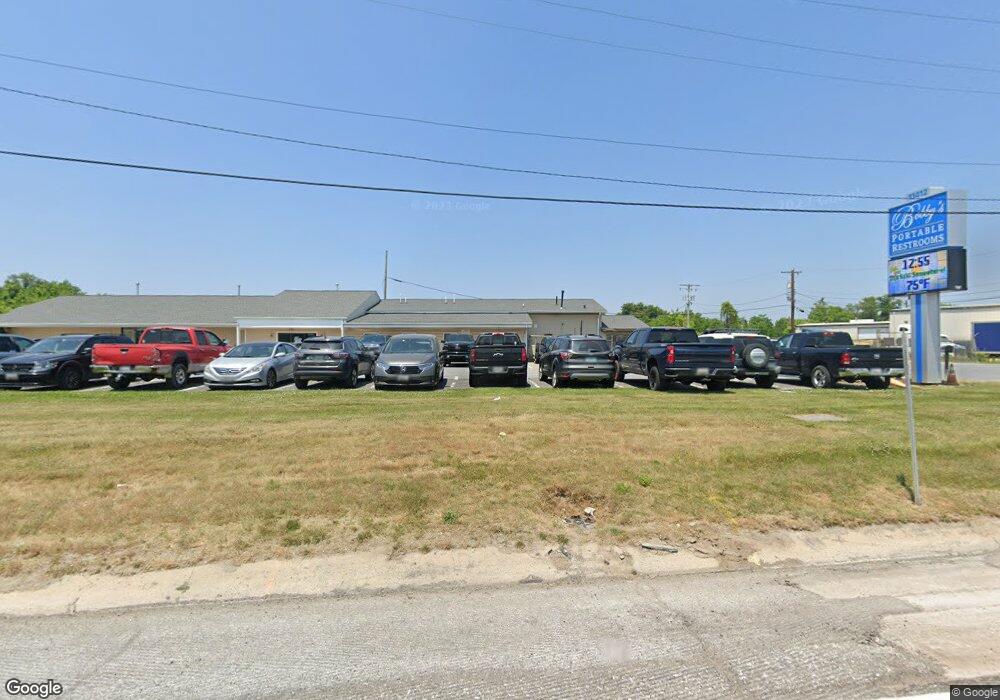
11412 Pulaski Hwy White Marsh, MD 21162
Estimated Value: $3,344,686
--
Bed
--
Bath
20,117
Sq Ft
$166/Sq Ft
Est. Value
About This Home
This home is located at 11412 Pulaski Hwy, White Marsh, MD 21162 and is currently estimated at $3,344,686, approximately $166 per square foot. 11412 Pulaski Hwy is a home located in Baltimore County with nearby schools including Vincent Farm Elementary, Perry Hall Middle School, and Perry Hall High School.
Ownership History
Date
Name
Owned For
Owner Type
Purchase Details
Closed on
Sep 23, 2016
Sold by
Egypt Farms Holding Co Inc
Bought by
11412 Pulaski Highway Llc
Current Estimated Value
Home Financials for this Owner
Home Financials are based on the most recent Mortgage that was taken out on this home.
Original Mortgage
$168,000
Interest Rate
3.42%
Mortgage Type
Commercial
Create a Home Valuation Report for This Property
The Home Valuation Report is an in-depth analysis detailing your home's value as well as a comparison with similar homes in the area
Home Values in the Area
Average Home Value in this Area
Purchase History
| Date | Buyer | Sale Price | Title Company |
|---|---|---|---|
| 11412 Pulaski Highway Llc | $2,100,000 | Getz Title Group Llc |
Source: Public Records
Mortgage History
| Date | Status | Borrower | Loan Amount |
|---|---|---|---|
| Previous Owner | 11412 Pulaski Highway Llc | $168,000 | |
| Previous Owner | 11412 Pulaski Highway Llc | $0 |
Source: Public Records
Tax History Compared to Growth
Tax History
| Year | Tax Paid | Tax Assessment Tax Assessment Total Assessment is a certain percentage of the fair market value that is determined by local assessors to be the total taxable value of land and additions on the property. | Land | Improvement |
|---|---|---|---|---|
| 2025 | $36,842 | $2,067,300 | -- | -- |
| 2024 | $36,842 | $2,032,100 | $1,186,200 | $845,900 |
| 2023 | $18,147 | $2,032,100 | $1,186,200 | $845,900 |
| 2022 | $34,985 | $2,032,100 | $1,186,200 | $845,900 |
| 2021 | $35,529 | $2,070,100 | $1,186,200 | $883,900 |
| 2020 | $35,529 | $1,921,233 | $0 | $0 |
| 2019 | $32,929 | $1,772,367 | $0 | $0 |
| 2018 | $29,434 | $1,623,500 | $765,000 | $858,500 |
| 2017 | $26,587 | $1,615,267 | $0 | $0 |
| 2016 | $23,103 | $1,607,033 | $0 | $0 |
| 2015 | $23,103 | $1,598,800 | $0 | $0 |
| 2014 | $23,103 | $1,598,800 | $0 | $0 |
Source: Public Records
Map
Nearby Homes
- 11345 Pulaski Hwy
- Abigail Plan at Vista Reserve
- 5625 Crescent Ridge Dr
- 11268 Davisar Rd Unit 84
- 11279 Davisar Rd Unit 111
- 11277 Davisar Rd Unit 110
- 5733 Allender Rd
- 5850 Monk Ave
- 11604 Jerome Ave
- 11572 Autumn Terrace Dr
- 5619 Harvey Ct
- 5717 Station Rd
- 5703 Allender Rd
- 11240 Philadelphia Rd
- 5603 Overlook Ct
- 11404 Smiloff Rd
- 5834 Stevens Rd
- 11721 Hamilton Place
- 11540 Philadelphia Rd Unit 5
- 5662 Gunpowder Rd
- 11424 Pulaski Hwy
- 11450 Pulaski Hwy
- 11345 Pulaski Hwy Unit 46
- 11345 Pulaski Hwy Unit LOT 44
- 5935 Monk Ave
- 5937 Monk Ave
- 11429 Pulaski Hwy
- 11403 Red Lion Rd
- 11425 Red Lion Rd
- 11351 Red Lion Rd
- 11445 Pulaski Hwy
- 5811 Allender Rd
- 11346 Red Lion Rd
- 11445 Red Lion Rd
- 5906 Allender Rd
- 11332 Red Lion Rd
- 11321 Carobel Ct
- 5915 Allender Rd
- 11327 Red Lion Rd
- 11509 Pulaski Hwy