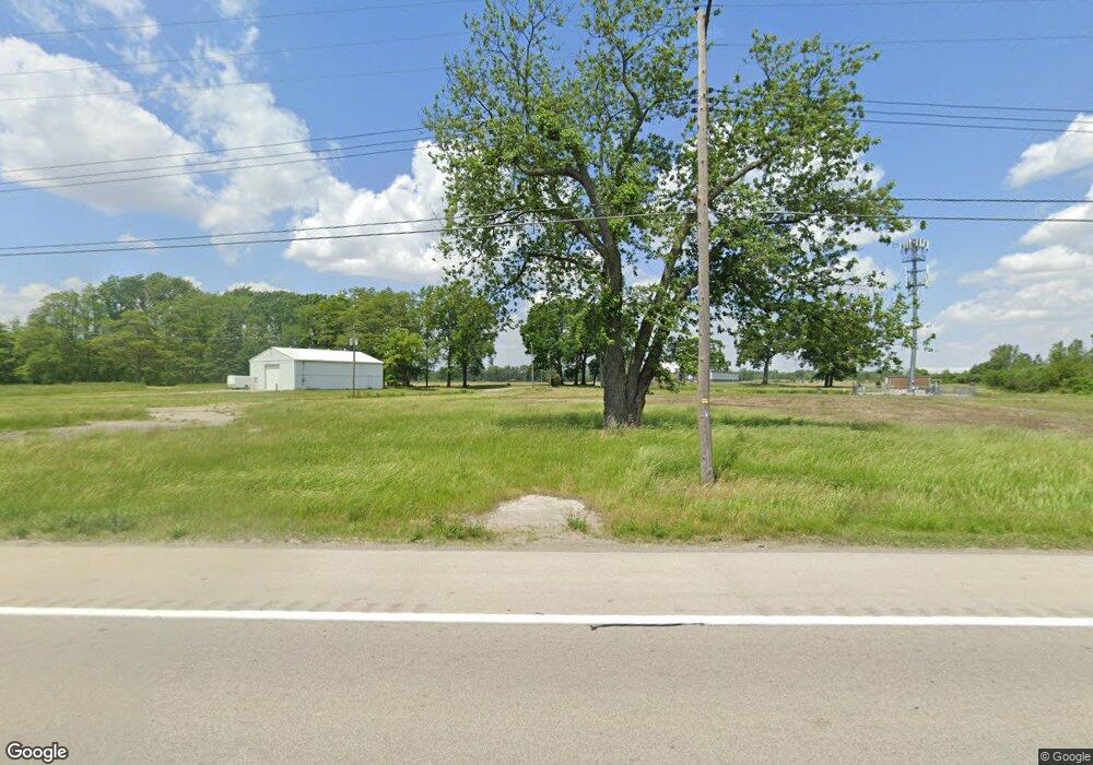
11414 Airport Hwy Swanton, OH 43558
Estimated Value: $80,000
--
Bed
--
Bath
--
Sq Ft
3.12
Acres
About This Home
This home is located at 11414 Airport Hwy, Swanton, OH 43558 and is currently estimated at $80,000. 11414 Airport Hwy is a home located in Lucas County with nearby schools including Swanton High School and Swanton Middle School.
Ownership History
Date
Name
Owned For
Owner Type
Purchase Details
Closed on
Oct 4, 2016
Sold by
First American Title Company Inc
Bought by
Land Air Llc
Current Estimated Value
Purchase Details
Closed on
Jul 28, 2005
Sold by
Garling Harold J and Garling Delores M
Bought by
Port Lawrence Title & Trust Co
Purchase Details
Closed on
Sep 23, 2003
Sold by
Garling Harold H and Garling Harold J
Bought by
Garling Harold J and Garling Delores M
Purchase Details
Closed on
Jan 15, 2001
Sold by
Garling Harold L and Garling Lucille L
Bought by
Garling Harold H and Garling Lucille L
Create a Home Valuation Report for This Property
The Home Valuation Report is an in-depth analysis detailing your home's value as well as a comparison with similar homes in the area
Home Values in the Area
Average Home Value in this Area
Purchase History
| Date | Buyer | Sale Price | Title Company |
|---|---|---|---|
| Land Air Llc | -- | First American Title Ins Co | |
| Port Lawrence Title & Trust Co | -- | -- | |
| Garling Harold J | -- | -- | |
| Garling Harold J | -- | -- | |
| Garling Harold J | -- | -- | |
| Garling Harold H | -- | -- | |
| Garling Harold H | -- | -- |
Source: Public Records
Tax History Compared to Growth
Tax History
| Year | Tax Paid | Tax Assessment Tax Assessment Total Assessment is a certain percentage of the fair market value that is determined by local assessors to be the total taxable value of land and additions on the property. | Land | Improvement |
|---|---|---|---|---|
| 2024 | $334 | $14,945 | $14,945 | -- |
| 2023 | $316 | $6,580 | $6,580 | $0 |
| 2022 | $366 | $6,580 | $6,580 | $0 |
| 2021 | $335 | $6,580 | $6,580 | $0 |
| 2020 | $320 | $5,425 | $5,425 | $0 |
| 2019 | $377 | $7,035 | $5,425 | $1,610 |
| 2018 | $357 | $7,035 | $5,425 | $1,610 |
| 2017 | $318 | $5,740 | $4,340 | $1,400 |
| 2016 | $339 | $16,400 | $12,400 | $4,000 |
| 2015 | $336 | $16,400 | $12,400 | $4,000 |
| 2014 | $334 | $5,740 | $4,340 | $1,400 |
| 2013 | $334 | $5,740 | $4,340 | $1,400 |
Source: Public Records
Map
Nearby Homes
- 0 Airport Hwy Unit 225021918
- 12257 Harriet Rd
- 10637 Old State Line Rd
- 12922 Airport Hwy
- 3725 Eber Rd
- 11344 Monclova Rd
- 9800 Salisbury Rd
- 11260 Monclova Rd
- 9860 Maumee Western Rd
- 12220 Monclova Rd
- 11835 Angola Rd
- 6416 Abigail Ln
- 4303 S Berkey Southern Rd
- 9470 Maumee Western Rd
- 13645 Shaffer Rd
- 3111 S Crissey Rd
- 3201 S Crissey Rd
- 225 Kierra Ln
- 13560 Old State Line Rd
- 1402 S Crissey Rd
- 11480 Airport Hwy
- 11490 Airport Hwy
- 0 Airport Hwy Unit 5074864
- 0 Airport Hwy Unit 9001147
- 0 Airport Hwy Unit 2015363
- 11339 Airport Hwy
- 11310 Airport Hwy
- 11300 Airport Hwy
- 11250 Airport Hwy
- 11230 Airport Hwy
- 11254 Airport Hwy
- 11630 Airport Hwy
- 2603 S Berkey Southern Rd
- 11640 Airport Hwy
- 11650 Airport Hwy
- 11700 Airport Hwy
- 2555 S Berkey Southern Rd
- 11710 Airport Hwy
- 11744 Airport Hwy
- 11722 Airport Hwy