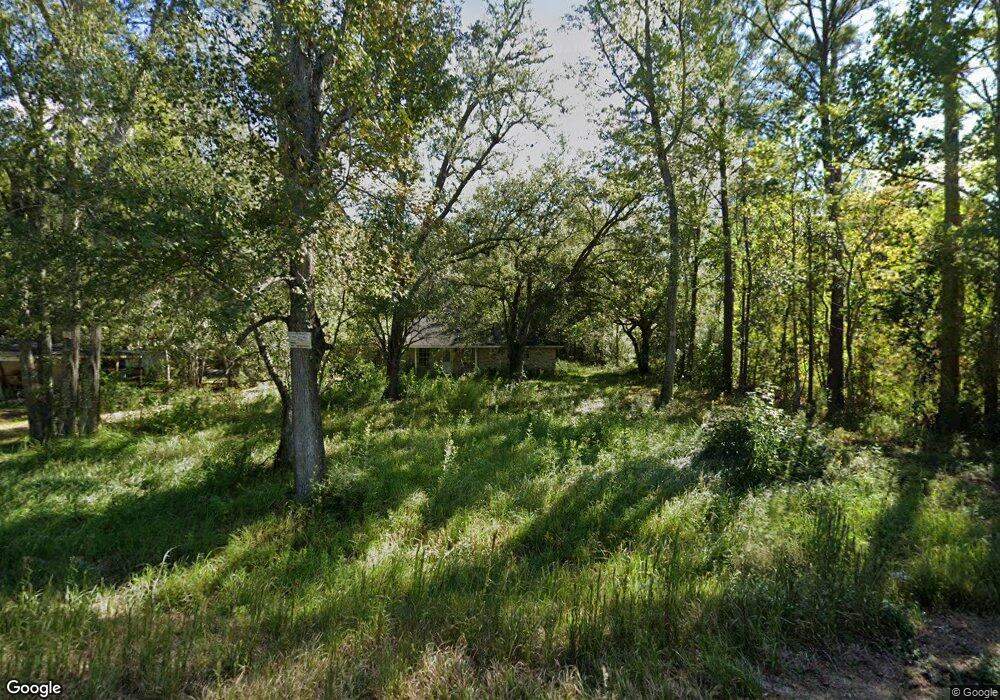
11416 Highway 613 Moss Point, MS 39562
Estimated Value: $220,000 - $306,000
--
Bed
3
Baths
2,756
Sq Ft
$98/Sq Ft
Est. Value
About This Home
This home is located at 11416 Highway 613, Moss Point, MS 39562 and is currently estimated at $270,863, approximately $98 per square foot. 11416 Highway 613 is a home located in Jackson County with nearby schools including Kreole Primary Elementary School, Escatawpa Upper Elementary School, and Magnolia Middle School.
Ownership History
Date
Name
Owned For
Owner Type
Purchase Details
Closed on
Oct 12, 2022
Sold by
Ttlbl Llc
Bought by
Mstreo Llc
Current Estimated Value
Purchase Details
Closed on
Sep 22, 2022
Sold by
Daley Robert M
Bought by
Trenornos Llc
Purchase Details
Closed on
Dec 17, 2021
Sold by
Daley Robert M and Daley Jeremia R
Bought by
Daley Robert M and Daley Jeremia R
Purchase Details
Closed on
May 8, 2020
Sold by
Fagan Randolph F and Fagan Joedna R
Bought by
Dailey Robert M and Dailey Jeremia R
Purchase Details
Closed on
Jun 4, 2013
Sold by
Gordon Katherine M
Bought by
Gordon Richard Lynn
Create a Home Valuation Report for This Property
The Home Valuation Report is an in-depth analysis detailing your home's value as well as a comparison with similar homes in the area
Home Values in the Area
Average Home Value in this Area
Purchase History
| Date | Buyer | Sale Price | Title Company |
|---|---|---|---|
| Mstreo Llc | -- | -- | |
| Mstreo Llc | -- | None Listed On Document | |
| Trenornos Llc | -- | -- | |
| Daley Robert M | -- | None Available | |
| Dailey Robert M | -- | None Available | |
| Gordon Richard Lynn | -- | -- |
Source: Public Records
Tax History Compared to Growth
Tax History
| Year | Tax Paid | Tax Assessment Tax Assessment Total Assessment is a certain percentage of the fair market value that is determined by local assessors to be the total taxable value of land and additions on the property. | Land | Improvement |
|---|---|---|---|---|
| 2024 | $2,631 | $21,817 | $1,104 | $20,713 |
| 2023 | $2,631 | $21,817 | $1,104 | $20,713 |
| 2022 | $2,634 | $21,816 | $0 | $0 |
| 2021 | $2,648 | $21,921 | $0 | $0 |
| 2020 | $2,409 | $19,715 | $897 | $18,818 |
| 2019 | $2,361 | $19,715 | $897 | $18,818 |
| 2018 | $2,361 | $19,715 | $897 | $18,818 |
| 2017 | $2,349 | $19,715 | $897 | $18,818 |
| 2016 | $1,202 | $19,715 | $897 | $18,818 |
| 2015 | $556 | $115,810 | $5,980 | $109,830 |
| 2014 | $605 | $11,992 | $598 | $11,394 |
| 2013 | $283 | $11,992 | $598 | $11,394 |
Source: Public Records
Map
Nearby Homes
- 00 Indiantown Rd
- 10 Ac Donniebrook Ln
- 0 Mississippi 613
- 9924 Foxshire Dr
- 9721 Highway 613
- 9701 Highway 613
- 9761 Donchester Cir
- 9764 Wilkerson Cir
- 9313 Hardwicke Rd
- 13875 Wolf Ridge Rd Unit LotWP001
- 13875 Wolf Ridge Rd
- 10413 Charpentier Dr
- 3721 Charlie Hudson Rd
- 6112 Hans Rd
- 9709 Cedarcliff Dr E
- 8629 Mississippi 613
- 6301 Pioneer Trail
- 9120 Tammy Ln
- 4317 Knowles Ave
- 9808 Briarcliff Dr
- 11420 Highway 613
- 11312 Highway 613
- 3700 Innshire Dr
- 3700 Inshire Dr
- 11316 Highway 613
- 11501 Highway 613
- 3709 Dowlwood Rd
- 11309 Highway 613
- 3709 3709 Innshire Rd Rd
- 3709 Innshire Rd
- 3713 Dowlwood Rd
- 3709 Inshire Dr
- 3711 Inshire Dr
- 11421 Highway 613
- 11600 River Rd
- 11201 Highway 613
- 11507 Highway 613
- 3717 Dowlwood Rd
- 11600 Highway 613
- 3724 Dowlwood Rd