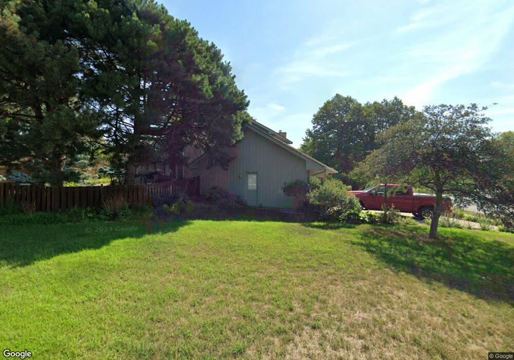
11416 Zion Rd Bloomington, MN 55437
West Bloomington NeighborhoodEstimated Value: $675,673 - $811,000
4
Beds
4
Baths
1,481
Sq Ft
$504/Sq Ft
Est. Value
About This Home
This home is located at 11416 Zion Rd, Bloomington, MN 55437 and is currently estimated at $746,668, approximately $504 per square foot. 11416 Zion Rd is a home located in Hennepin County with nearby schools including Westwood Elementary School, Oak Grove Middle School, and Jefferson Senior High School.
Ownership History
Date
Name
Owned For
Owner Type
Purchase Details
Closed on
Sep 15, 2017
Sold by
Carlson Gary J and Carlson Mary B
Bought by
Gehant David J and Gehant Kimberly M
Current Estimated Value
Home Financials for this Owner
Home Financials are based on the most recent Mortgage that was taken out on this home.
Original Mortgage
$391,900
Interest Rate
3.9%
Mortgage Type
New Conventional
Create a Home Valuation Report for This Property
The Home Valuation Report is an in-depth analysis detailing your home's value as well as a comparison with similar homes in the area
Home Values in the Area
Average Home Value in this Area
Purchase History
| Date | Buyer | Sale Price | Title Company |
|---|---|---|---|
| Gehant David J | $489,900 | Home Title Inc |
Source: Public Records
Mortgage History
| Date | Status | Borrower | Loan Amount |
|---|---|---|---|
| Previous Owner | Gehant David J | $391,900 |
Source: Public Records
Tax History
| Year | Tax Paid | Tax Assessment Tax Assessment Total Assessment is a certain percentage of the fair market value that is determined by local assessors to be the total taxable value of land and additions on the property. | Land | Improvement |
|---|---|---|---|---|
| 2024 | $8,491 | $627,800 | $182,800 | $445,000 |
| 2023 | $8,525 | $672,300 | $236,800 | $435,500 |
| 2022 | $7,142 | $653,200 | $232,000 | $421,200 |
| 2021 | $6,655 | $547,400 | $207,300 | $340,100 |
| 2020 | $6,576 | $520,500 | $201,500 | $319,000 |
| 2019 | $6,165 | $503,400 | $201,500 | $301,900 |
| 2018 | $6,273 | $463,800 | $195,400 | $268,400 |
| 2017 | $5,926 | $436,300 | $182,100 | $254,200 |
| 2016 | $6,352 | $442,800 | $171,000 | $271,800 |
| 2015 | $6,229 | $417,100 | $164,600 | $252,500 |
| 2014 | -- | $406,000 | $159,500 | $246,500 |
Source: Public Records
Map
Nearby Homes
- 5500 River Bluff Curve
- 11313 Xavier Rd
- 11339 Vessey Cir
- 11208 Vessey Cir
- 6100 Auto Club Rd Unit 211
- 10833 Toledo Ave S
- 5157 Balmoral Ln
- 10727 Braewood Cir
- 5210 Balmoral Ln Unit 305
- 5008 W 108th St
- 6958 Kenmare Dr
- 4401 Morris Ln
- 7062 W 113th St Unit 1
- 11216 Harrison Ave S
- 7041 Kenmare Dr
- 10425 Vessey Rd
- 10935 Oregon Ave S
- 7229 Woodstock Curve Unit 6
- 4845 W 123rd St Unit 203
- 11159 Sumter Ave S
- 11418 Zion Cir
- 11408 Zion Rd
- 11420 Zion Cir
- 11438 Zion Cir
- 11411 Zion Rd
- 11421 Zion Rd
- 11436 Zion Cir
- 5500 River Bluff Dr
- 5510 River Bluff Dr
- 11422 Zion Cir
- 11428 Zion Cir S
- 11428 Zion Cir
- 11432 Zion Cir
- 11430 Zion Cir
- 11424 Zion Cir
- 5519 5519 River Bluff-Drive-
- 11426 Zion Cir
- 5416 River Bluff Dr
- 5520 River Bluff Dr
- 5511 River Bluff Dr
Your Personal Tour Guide
Ask me questions while you tour the home.