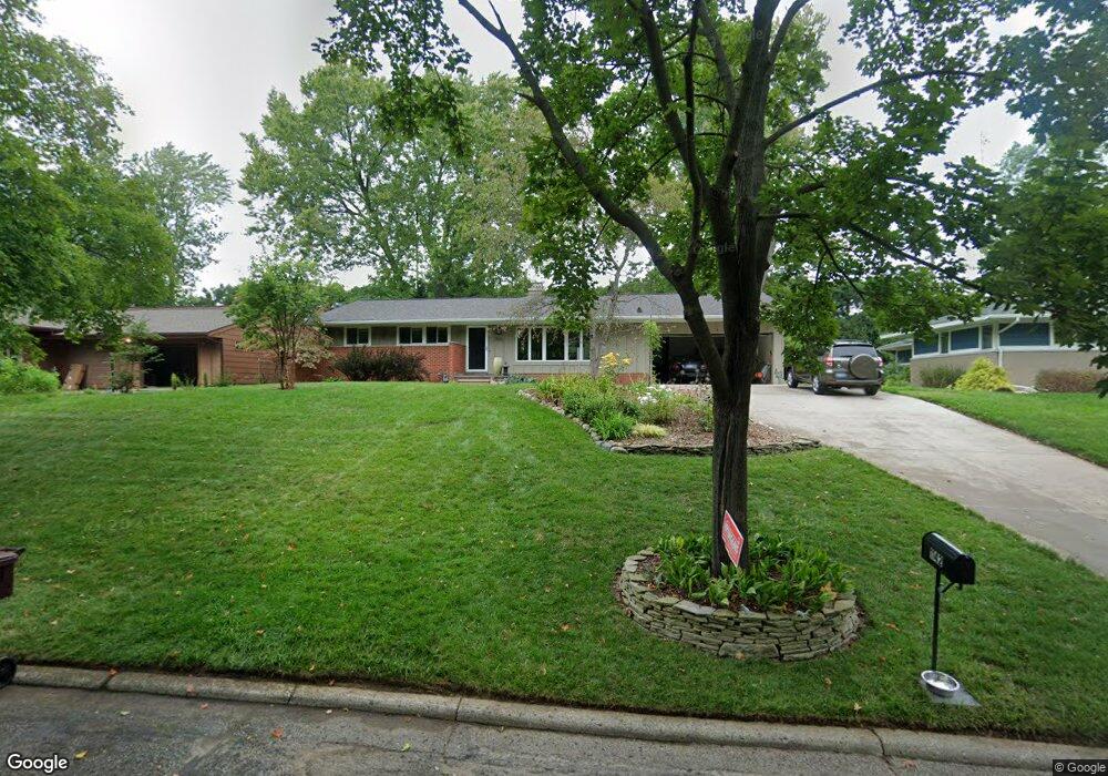
1142 Olden Rd Ann Arbor, MI 48103
Water Hill NeighborhoodEstimated Value: $507,575 - $578,000
3
Beds
3
Baths
1,220
Sq Ft
$443/Sq Ft
Est. Value
About This Home
This home is located at 1142 Olden Rd, Ann Arbor, MI 48103 and is currently estimated at $540,394, approximately $442 per square foot. 1142 Olden Rd is a home located in Washtenaw County with nearby schools including Wines Elementary School, Forsythe Middle School, and Skyline High School.
Ownership History
Date
Name
Owned For
Owner Type
Purchase Details
Closed on
Dec 7, 2005
Sold by
Copp Dawson Margaret and Copp Dawson Margaret
Bought by
Miessner Joseph L and Hagman Darryl M
Current Estimated Value
Home Financials for this Owner
Home Financials are based on the most recent Mortgage that was taken out on this home.
Original Mortgage
$150,000
Outstanding Balance
$84,275
Interest Rate
6.36%
Mortgage Type
Fannie Mae Freddie Mac
Estimated Equity
$456,119
Purchase Details
Closed on
May 16, 2001
Sold by
Dawson David
Bought by
Dawson Margaret
Create a Home Valuation Report for This Property
The Home Valuation Report is an in-depth analysis detailing your home's value as well as a comparison with similar homes in the area
Home Values in the Area
Average Home Value in this Area
Purchase History
| Date | Buyer | Sale Price | Title Company |
|---|---|---|---|
| Miessner Joseph L | $299,900 | Ab | |
| Dawson Margaret | -- | -- |
Source: Public Records
Mortgage History
| Date | Status | Borrower | Loan Amount |
|---|---|---|---|
| Open | Miessner Joseph L | $150,000 |
Source: Public Records
Tax History
| Year | Tax Paid | Tax Assessment Tax Assessment Total Assessment is a certain percentage of the fair market value that is determined by local assessors to be the total taxable value of land and additions on the property. | Land | Improvement |
|---|---|---|---|---|
| 2025 | $7,293 | $221,800 | $0 | $0 |
| 2024 | $7,113 | $194,700 | $0 | $0 |
| 2023 | $6,558 | $186,300 | $0 | $0 |
| 2022 | $7,147 | $191,900 | $0 | $0 |
| 2021 | $6,978 | $183,100 | $0 | $0 |
| 2020 | $6,837 | $179,800 | $0 | $0 |
| 2019 | $6,507 | $159,400 | $159,400 | $0 |
| 2018 | $6,415 | $154,600 | $0 | $0 |
| 2017 | $6,241 | $156,500 | $0 | $0 |
| 2016 | $5,316 | $124,794 | $0 | $0 |
| 2015 | $5,734 | $124,421 | $0 | $0 |
| 2014 | $5,734 | $120,534 | $0 | $0 |
| 2013 | -- | $120,534 | $0 | $0 |
Source: Public Records
Map
Nearby Homes
- 913 Pomona Rd
- 2176 Overlook Ct
- 2374 Newport Rd
- 601 Cressfield Ln
- 2108 Newport Rd Unit Parcel 2108
- 2108 Newport Rd
- 1334 Miller Ave
- 1610 Argyle Crescent
- 2134 Overlook Ct
- 2136 Newport Rd
- 1106 Paul St
- 1516 Newport Creek Dr Unit 2
- 1132 Longshore Dr Unit 2
- 408 Felch St
- 118 W Summit St
- 1019 Hasper Dr
- 1506 Dexter Ave
- 410 N 1st St Unit 302
- 916 Patricia Ave
- 651 N 5th Ave
Your Personal Tour Guide
Ask me questions while you tour the home.