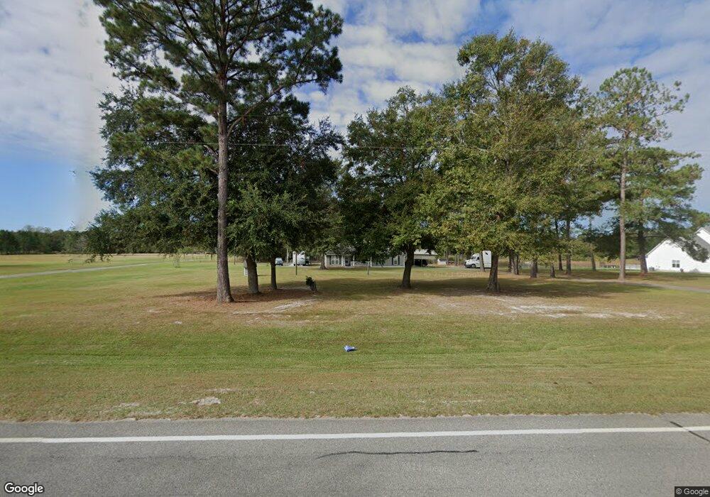
1142 S Highway 129 Stockton, GA 31649
Estimated Value: $190,000 - $268,638
3
Beds
2
Baths
1,654
Sq Ft
$142/Sq Ft
Est. Value
About This Home
This home is located at 1142 S Highway 129, Stockton, GA 31649 and is currently estimated at $235,660, approximately $142 per square foot. 1142 S Highway 129 is a home with nearby schools including Lanier County Elementary School, Lanier County Middle School, and Lanier County High School.
Ownership History
Date
Name
Owned For
Owner Type
Purchase Details
Closed on
Dec 4, 2019
Sold by
Foote Maynard
Bought by
Mohr Brenda C Foote
Current Estimated Value
Purchase Details
Closed on
Jan 25, 2018
Sold by
Holmes Jerry W
Bought by
Foote Maynard
Purchase Details
Closed on
Nov 22, 2017
Sold by
Holmes Jerry W
Bought by
Holmes Jerry W and Holmes Donald Curtis
Purchase Details
Closed on
Aug 28, 2016
Sold by
Wesley Paul
Bought by
Holmes Jerry W and Holmes Virginia L
Purchase Details
Closed on
Dec 31, 2008
Sold by
Holmes Jerry W
Bought by
Holmes Paul Wesley
Create a Home Valuation Report for This Property
The Home Valuation Report is an in-depth analysis detailing your home's value as well as a comparison with similar homes in the area
Home Values in the Area
Average Home Value in this Area
Purchase History
| Date | Buyer | Sale Price | Title Company |
|---|---|---|---|
| Mohr Brenda C Foote | -- | -- | |
| Foote Maynard | $120,000 | -- | |
| Holmes Jerry W | -- | -- | |
| Holmes Jerry W | -- | -- | |
| Holmes Paul Wesley | -- | -- |
Source: Public Records
Tax History Compared to Growth
Tax History
| Year | Tax Paid | Tax Assessment Tax Assessment Total Assessment is a certain percentage of the fair market value that is determined by local assessors to be the total taxable value of land and additions on the property. | Land | Improvement |
|---|---|---|---|---|
| 2024 | $2,324 | $87,760 | $8,800 | $78,960 |
| 2023 | $999 | $51,560 | $5,480 | $46,080 |
| 2022 | $1,574 | $51,560 | $5,480 | $46,080 |
| 2021 | $1,607 | $51,560 | $5,480 | $46,080 |
| 2020 | $1,685 | $51,560 | $5,480 | $46,080 |
| 2019 | $1,503 | $51,560 | $5,480 | $46,080 |
| 2018 | $1,685 | $51,560 | $5,480 | $46,080 |
| 2017 | $1,686 | $51,560 | $5,480 | $46,080 |
| 2016 | $1,723 | $52,480 | $5,480 | $47,000 |
| 2015 | -- | $52,496 | $5,480 | $47,016 |
| 2014 | -- | $53,416 | $5,480 | $47,936 |
| 2013 | -- | $53,416 | $5,480 | $47,936 |
Source: Public Records
Map
Nearby Homes
- TBA S Highway 129
- 89 Mann Rd
- TBD Church Rd
- 35 Tyler Rd
- TBA Us 129
- 743 Old Stockton Rd
- 150+/- Ganas Rd
- 6585 Good Hope Cir
- 6069 Mullins Ln
- 339 Old Stockton Rd
- 70 Oscar Carter Ln
- 0 Patten Ln
- 108 Pine Dr
- 106 Quail Run
- 13 Oak Bend Dr
- 6377 Lake Alapaha Blvd
- 6447 Lake Alapaha Blvd
- 6441 Lake Alapaha Blvd
- LT 85 B River Trail
- 472 S Hwy 135
- 1138 S Highway 129
- 1146 S Highway 129
- 1151 S Highway 129
- 20 Branch Dr
- 4 Branch Dr
- 1169 S Highway 129
- 1162 S Highway 129
- 1156 S Highway 129
- 1189 S Highway 129
- 1186 S Highway 129
- 1204 S Highway 129
- 1203 S Highway 129
- 41 Bennett Rd
- 60 Bennett Rd
- 1081 S Highway 129
- 1216 S Highway 129
- 1213 S Highway 129
- 33 Bennett Rd
- 1226 S Highway 129
- 1235 S Highway 129