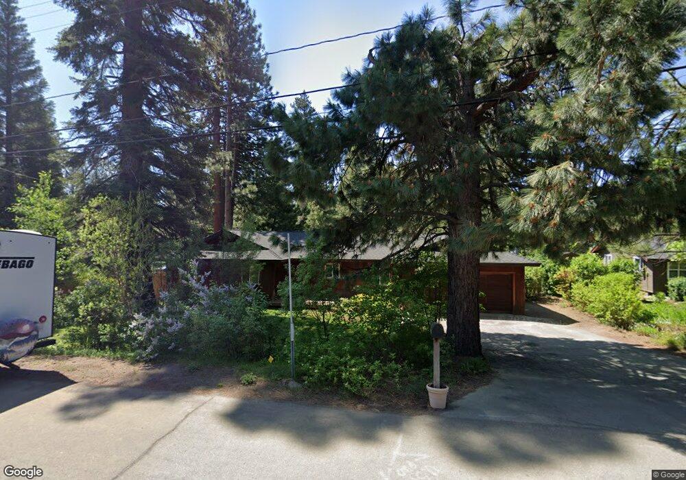
11423 Silverfir Dr Truckee, CA 96161
South Truckee NeighborhoodEstimated Value: $771,462 - $936,000
3
Beds
2
Baths
1,304
Sq Ft
$647/Sq Ft
Est. Value
About This Home
This home is located at 11423 Silverfir Dr, Truckee, CA 96161 and is currently estimated at $843,366, approximately $646 per square foot. 11423 Silverfir Dr is a home located in Placer County with nearby schools including Truckee Elementary School, Alder Creek Middle School, and Tahoe Truckee High School.
Ownership History
Date
Name
Owned For
Owner Type
Purchase Details
Closed on
Feb 18, 2016
Sold by
Mcgargill Kendra A and Mcgargill Edward J
Bought by
The Edward & Kendra Mcgargill 2016 Trust
Current Estimated Value
Purchase Details
Closed on
Oct 22, 2007
Sold by
Koepke Jennifer M
Bought by
Murphy Kendra A and Mcgargill Edward J
Home Financials for this Owner
Home Financials are based on the most recent Mortgage that was taken out on this home.
Original Mortgage
$370,500
Outstanding Balance
$232,016
Interest Rate
6.27%
Mortgage Type
Unknown
Estimated Equity
$611,350
Purchase Details
Closed on
Sep 6, 1995
Sold by
Mann Richard C
Bought by
Koepke Jennifer M
Create a Home Valuation Report for This Property
The Home Valuation Report is an in-depth analysis detailing your home's value as well as a comparison with similar homes in the area
Home Values in the Area
Average Home Value in this Area
Purchase History
| Date | Buyer | Sale Price | Title Company |
|---|---|---|---|
| The Edward & Kendra Mcgargill 2016 Trust | -- | None Available | |
| Murphy Kendra A | $390,000 | Fidelity Natl Title Co Of Ca | |
| Koepke Jennifer M | -- | California Land Title Co |
Source: Public Records
Mortgage History
| Date | Status | Borrower | Loan Amount |
|---|---|---|---|
| Open | Murphy Kendra A | $370,500 |
Source: Public Records
Tax History
| Year | Tax Paid | Tax Assessment Tax Assessment Total Assessment is a certain percentage of the fair market value that is determined by local assessors to be the total taxable value of land and additions on the property. | Land | Improvement |
|---|---|---|---|---|
| 2025 | $5,675 | $512,253 | $262,693 | $249,560 |
| 2023 | $5,675 | $492,364 | $252,494 | $239,870 |
| 2022 | $5,589 | $482,711 | $247,544 | $235,167 |
| 2021 | $5,180 | $473,247 | $242,691 | $230,556 |
| 2020 | $5,245 | $468,395 | $240,203 | $228,192 |
| 2019 | $5,279 | $459,212 | $235,494 | $223,718 |
| 2018 | $5,088 | $450,209 | $230,877 | $219,332 |
| 2017 | $5,009 | $441,382 | $226,350 | $215,032 |
| 2016 | $4,983 | $432,728 | $221,912 | $210,816 |
| 2015 | $4,866 | $426,229 | $218,579 | $207,650 |
| 2014 | $2,852 | $250,000 | $100,000 | $150,000 |
Source: Public Records
Map
Nearby Homes
- 11902 & 11912 Rio Vista Dr
- 10335 Old Brockway Rd
- 000 Rue Hilltop
- 10336 Palisades Dr
- 10191 W River St
- 10050 SE River St
- 9264 Heartwood Dr
- 9240 Heartwood Dr
- 9270 Brae Rd
- 10008 High St
- 9195 Tarn Cir
- 9234 Heartwood Dr
- 9337 Heartwood Dr
- 9309 Gaston Ct
- 10770 Donner Pass Rd
- 9185 Heartwood Dr
- 10800 Donner Pass Rd Unit 3A
- 9188 Tarn Cir
- 9348 Nine Bark Rd
- 10209 Modane Place
- 11443 Silverfir Dr
- 11403 Silverfir Dr
- 11443 Silver Fir Dr
- 11463 Silver Fir Dr
- 11463 Silverfir Dr
- 11422 Silverfir Dr
- 11442 Silver Fir Dr
- 11442 Silverfir Dr
- 11402 Silverfir Dr
- 11373 Silver Fir Dr
- 11462 Silverfir Dr
- 11382 Silver Fir Dr
- 11373 Silverfir Dr
- 11495 Silverfir Dr
- 11382 Silverfir Dr
- 11490 Silverfir Dr
- 11372 Silverfir Dr
- 11421 Purple Sage Rd
- 11505 Silverfir Dr
- 11502 Silver Fir Dr