11425 Airstrip Rd Middletown, CA 95461
Estimated Value: $152,033 - $291,000
2
Beds
1
Bath
1,136
Sq Ft
$184/Sq Ft
Est. Value
About This Home
This home is located at 11425 Airstrip Rd, Middletown, CA 95461 and is currently estimated at $209,258, approximately $184 per square foot. 11425 Airstrip Rd is a home with nearby schools including Riviera Elementary School, Mountain Vista Middle School, and Kelseyville High School.
Ownership History
Date
Name
Owned For
Owner Type
Purchase Details
Closed on
Oct 24, 2022
Sold by
Phillips Laurel
Bought by
Laurel Phillips Family Trust and Phillips
Current Estimated Value
Purchase Details
Closed on
Jul 13, 2016
Sold by
Dibattista Fernando and Dibattista Cynthia F
Bought by
Morris Clifford
Home Financials for this Owner
Home Financials are based on the most recent Mortgage that was taken out on this home.
Original Mortgage
$65,000
Interest Rate
3.66%
Mortgage Type
Seller Take Back
Create a Home Valuation Report for This Property
The Home Valuation Report is an in-depth analysis detailing your home's value as well as a comparison with similar homes in the area
Purchase History
| Date | Buyer | Sale Price | Title Company |
|---|---|---|---|
| Laurel Phillips Family Trust | -- | None Listed On Document | |
| Morris Clifford | $115,000 | First American Title Company |
Source: Public Records
Mortgage History
| Date | Status | Borrower | Loan Amount |
|---|---|---|---|
| Previous Owner | Morris Clifford | $65,000 |
Source: Public Records
Tax History
| Year | Tax Paid | Tax Assessment Tax Assessment Total Assessment is a certain percentage of the fair market value that is determined by local assessors to be the total taxable value of land and additions on the property. | Land | Improvement |
|---|---|---|---|---|
| 2025 | $1,459 | $111,922 | $110,252 | $1,670 |
| 2024 | $1,432 | $109,729 | $108,091 | $1,638 |
| 2023 | $1,411 | $107,578 | $105,972 | $1,606 |
| 2022 | $1,365 | $105,470 | $103,895 | $1,575 |
| 2021 | $1,340 | $103,403 | $101,858 | $1,545 |
| 2020 | $1,318 | $102,344 | $100,814 | $1,530 |
| 2019 | $1,521 | $119,646 | $98,838 | $20,808 |
| 2018 | $1,341 | $117,300 | $96,900 | $20,400 |
| 2017 | $1,323 | $115,000 | $95,000 | $20,000 |
| 2016 | $870 | $73,543 | $50,919 | $22,624 |
| 2015 | -- | $72,440 | $50,155 | $22,285 |
| 2014 | -- | $71,022 | $49,173 | $21,849 |
Source: Public Records
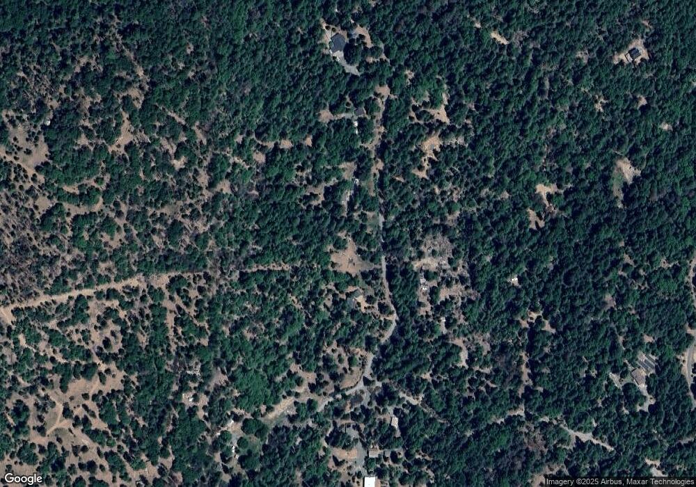
Map
Nearby Homes
- 8655 Harrington Flat Rd
- 10899 Highway 175
- 9660 Harrington Flat Rd
- 8734 Sulphur Creek Rd
- 8207 Harrington Flat Rd
- 8320 Sulphur Creek Rd
- 12137 Black Oak Dr
- 12266 Black Oak Dr
- 8833 Fox Dr
- 9505 Salmina Rd
- 8863 Fox Dr
- 12378 Black Oak Dr
- 9072 Fox Dr
- 10369 Hilltop Rd
- 9183 Fox Dr
- 14000 Nelson Ln
- 12800 Bottle Rock Rd
- 9471 Wildcat Rd
- 8713 Fox Dr
- 9591 Lassen Dr
- 11333 Airstrip Rd
- 11481 Airstrip Rd
- 11422 Airstrip Rd
- 11149 Airstrip Rd
- 11154 Airstrip Rd
- 11254 Airstrip Rd
- 11336 Airstrip Rd
- 9167 Rockys Rd
- 9028 Rockys Rd
- 11055 Airstrip Rd
- 9146 Rockys Rd
- 9271 Rockys Rd
- 11021 Airstrip Rd
- 11230 Airstrip Rd
- 9018 Rockys Rd
- 9426 Rockys Rd
- 9317 Rockys Rd
- 9471 Rockys Rd
- 8650 Harrington Flat Rd
- 8723 Harrington Flat Rd
Your Personal Tour Guide
Ask me questions while you tour the home.