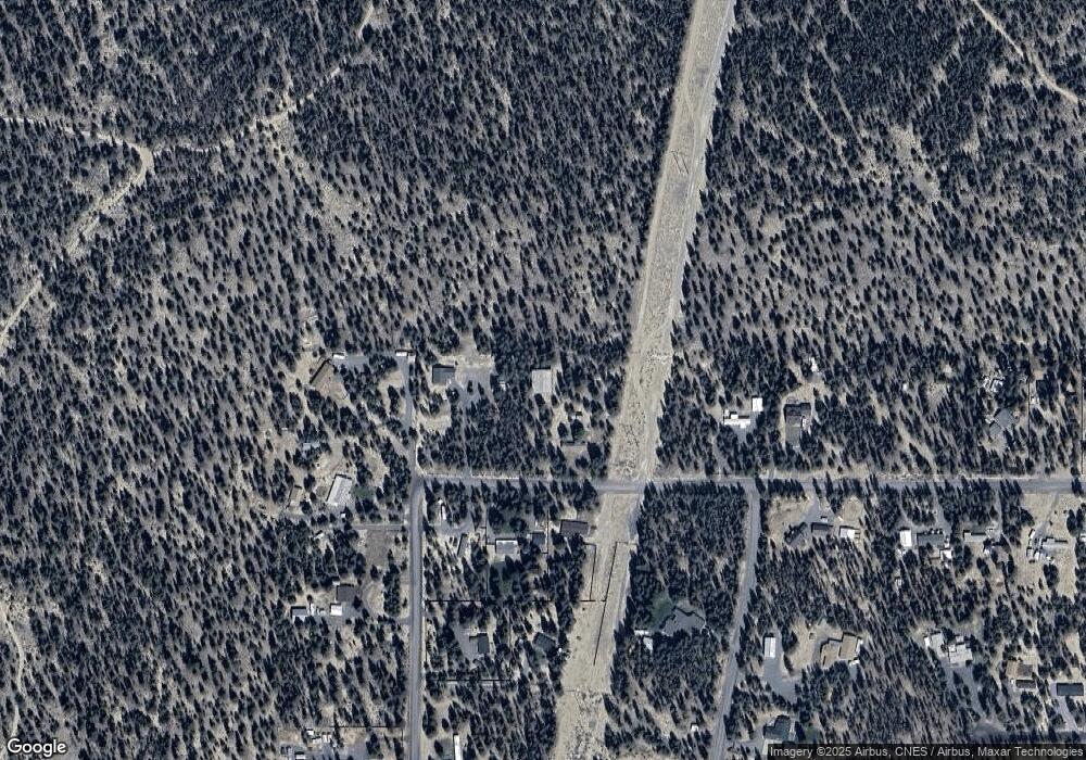
11427 Burlwood Dr La Pine, OR 97739
Estimated Value: $93,758 - $168,000
2
Beds
--
Bath
672
Sq Ft
$195/Sq Ft
Est. Value
About This Home
This home is located at 11427 Burlwood Dr, La Pine, OR 97739 and is currently estimated at $130,879, approximately $194 per square foot. 11427 Burlwood Dr is a home located in Klamath County with nearby schools including Gilchrist Elementary School and Gilchrist Junior/Senior High School.
Ownership History
Date
Name
Owned For
Owner Type
Purchase Details
Closed on
Sep 15, 2015
Sold by
Davern David P
Bought by
Olson Shawn and Olson Loni
Current Estimated Value
Home Financials for this Owner
Home Financials are based on the most recent Mortgage that was taken out on this home.
Original Mortgage
$16,000
Interest Rate
3.91%
Mortgage Type
Seller Take Back
Purchase Details
Closed on
Aug 6, 2014
Sold by
Davern Kandy Michelle
Bought by
Davern David P
Purchase Details
Closed on
Dec 18, 2008
Sold by
Reese William A
Bought by
Davern David P and Davern Kandy M
Home Financials for this Owner
Home Financials are based on the most recent Mortgage that was taken out on this home.
Original Mortgage
$34,400
Interest Rate
6.1%
Mortgage Type
Stand Alone First
Create a Home Valuation Report for This Property
The Home Valuation Report is an in-depth analysis detailing your home's value as well as a comparison with similar homes in the area
Home Values in the Area
Average Home Value in this Area
Purchase History
| Date | Buyer | Sale Price | Title Company |
|---|---|---|---|
| Olson Shawn | $42,000 | Multiple | |
| Davern David P | -- | None Available | |
| Davern David P | $43,000 | First American |
Source: Public Records
Mortgage History
| Date | Status | Borrower | Loan Amount |
|---|---|---|---|
| Closed | Olson Shawn | $16,000 | |
| Previous Owner | Davern David P | $34,400 |
Source: Public Records
Tax History Compared to Growth
Tax History
| Year | Tax Paid | Tax Assessment Tax Assessment Total Assessment is a certain percentage of the fair market value that is determined by local assessors to be the total taxable value of land and additions on the property. | Land | Improvement |
|---|---|---|---|---|
| 2024 | $519 | $41,890 | -- | -- |
| 2023 | $473 | $41,890 | $0 | $0 |
| 2022 | $435 | $34,380 | $0 | $0 |
| 2021 | $386 | $29,900 | $0 | $0 |
| 2020 | $406 | $31,780 | $0 | $0 |
| 2019 | $398 | $30,860 | $0 | $0 |
| 2018 | $388 | $29,970 | $0 | $0 |
| 2017 | $380 | $29,100 | $0 | $0 |
| 2016 | $372 | $28,260 | $0 | $0 |
| 2015 | $306 | $22,120 | $0 | $0 |
| 2014 | $295 | $21,480 | $0 | $0 |
| 2013 | -- | $20,860 | $0 | $0 |
Source: Public Records
Map
Nearby Homes
- 11421 Burlwood Dr
- 63 Lanewood Dr
- 145355 Lanewood Dr
- 145343 Birchwood Dr
- 11660 Burlwood Dr
- 145343 Birchwood Rd
- 10500 Pinewood Place
- 0 Greenwood Rd Unit Lot 39 220183411
- 11619 Sun Forest Dr
- 144927 Greenwood Rd
- 0
- 0 Corral Ct Unit Lot 12 220198875
- 11841 Alderwood Dr
- 145030 Highway 31
- 145030 Oregon 31
- 11963 Beechwood Dr
- 5400 Beechwood Dr
- 11511 Larchwood Dr
- 144927 Ringo Ct
- 0 Beechwood Dr Unit 16
- 11430 Burlwood Dr
- 11424 Burlwood Dr
- 7200 Burlwood Dr
- 11439 Burlwood Rd
- 145465 Lanewood Dr
- 145471 Lanewood Dr
- 11545 Burlwood Dr
- 11548 Burlwood Dr
- 11309 Burlwood Dr
- 145574 Lanewood Dr
- 63 Lanewood Dr Unit 63
- 0 Lanewood Dr Unit 9076115
- 0 Lanewood Dr Unit 63 220168136
- 60 Lanewood Dr
- 61 Lanewood Dr
- Lot 60 Lanewood Dr
- Lot 61 Lanewood Dr
- 0 Lanewood Dr
- Lot 59 Lanewood
- 14571 Lanewood Dr
