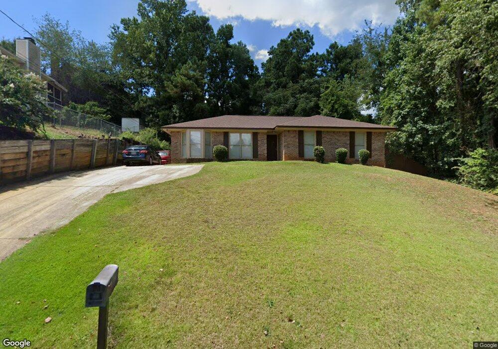
1143 Brandywine Dr Columbus, GA 31907
Eastern Columbus NeighborhoodEstimated Value: $156,000 - $173,000
3
Beds
3
Baths
1,503
Sq Ft
$111/Sq Ft
Est. Value
About This Home
This home is located at 1143 Brandywine Dr, Columbus, GA 31907 and is currently estimated at $167,356, approximately $111 per square foot. 1143 Brandywine Dr is a home located in Muscogee County with nearby schools including Dawson Elementary School, East Columbus Magnet Academy, and Spencer High School.
Ownership History
Date
Name
Owned For
Owner Type
Purchase Details
Closed on
Jul 15, 2025
Sold by
Milners Rental Properties Llc
Bought by
Bunker Hill Properties Llc
Current Estimated Value
Purchase Details
Closed on
Jul 10, 2013
Sold by
Milner Harvey L
Bought by
Milners Rental Properties Llc
Create a Home Valuation Report for This Property
The Home Valuation Report is an in-depth analysis detailing your home's value as well as a comparison with similar homes in the area
Home Values in the Area
Average Home Value in this Area
Purchase History
| Date | Buyer | Sale Price | Title Company |
|---|---|---|---|
| Bunker Hill Properties Llc | -- | None Listed On Document | |
| Bunker Hill Properties Llc | -- | None Listed On Document | |
| Milners Rental Properties Llc | -- | -- |
Source: Public Records
Tax History Compared to Growth
Tax History
| Year | Tax Paid | Tax Assessment Tax Assessment Total Assessment is a certain percentage of the fair market value that is determined by local assessors to be the total taxable value of land and additions on the property. | Land | Improvement |
|---|---|---|---|---|
| 2025 | $191 | $48,900 | $12,920 | $35,980 |
| 2024 | $191 | $48,900 | $12,920 | $35,980 |
| 2023 | $1,747 | $58,164 | $12,920 | $45,244 |
| 2022 | $1,811 | $44,352 | $12,920 | $31,432 |
| 2021 | $1,424 | $34,872 | $12,920 | $21,952 |
| 2020 | $1,176 | $28,800 | $8,640 | $20,160 |
| 2019 | $1,180 | $28,800 | $8,640 | $20,160 |
| 2018 | $1,180 | $28,800 | $8,640 | $20,160 |
| 2017 | $1,184 | $28,800 | $8,640 | $20,160 |
| 2016 | $1,182 | $28,660 | $6,259 | $22,401 |
| 2015 | $1,184 | $28,660 | $6,259 | $22,401 |
| 2014 | $474 | $28,660 | $6,259 | $22,401 |
| 2013 | -- | $31,052 | $6,259 | $24,793 |
Source: Public Records
Map
Nearby Homes
- 1210 Bunker Hill Rd
- 5336 Gettysburg Way
- 5219 Argonne Dr
- 1238 Brandywine Dr
- 5294 Bunker Hill Ct
- 1513 Alamo Dr
- 5310 Stoney Point Rd
- 4462 Walking Stick Way
- 906 Bunker Hill Rd
- 5234 Saint Marys Rd
- 849 Bunker Hill Rd
- 5116 Magazine Ln
- 4408 Walking Stick Way
- 5109 Lexington Ln
- 4939 Aaron Dr
- 5090 Lexington Ln
- 1340 Bunker Ridge Ln
- 5664 St Marys Rd
- 780 Honey Do Ct
- 5644 Quebec Dr
- 1151 Brandywine Dr
- 1137 Brandywine Dr
- 1155 Brandywine Ct
- 5314 Argonne Dr
- 5304 Argonne Dr
- 1150 Brandywine Dr
- 5246 Argonne Dr
- 1126 Brandywine Dr
- 1203 Brandywine Dr
- 5327 Argonne Dr
- 1167 Brandywine Ct
- 1159 Brandywine Ct
- 1158 Brandywine Dr
- 5319 Argonne Dr
- 5238 Argonne Dr
- 1116 Brandywine Dr
- 1165 Brandywine Ct
- 5315 Argonne Dr
- 1119 Brandywine Dr
- 5307 Argonne Dr