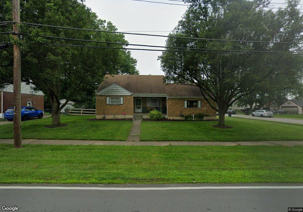
1143 Fuhrman Rd Cincinnati, OH 45215
Estimated Value: $266,000 - $286,000
4
Beds
3
Baths
949
Sq Ft
$291/Sq Ft
Est. Value
About This Home
This home is located at 1143 Fuhrman Rd, Cincinnati, OH 45215 and is currently estimated at $275,728, approximately $290 per square foot. 1143 Fuhrman Rd is a home located in Hamilton County with nearby schools including Reading Community High School, Saints Peter and Paul Academy, and Linden Grove School.
Ownership History
Date
Name
Owned For
Owner Type
Purchase Details
Closed on
Sep 23, 2022
Sold by
Gorton Mary Jane and Gorton Quentin
Bought by
Ross Patrick G
Current Estimated Value
Purchase Details
Closed on
Feb 16, 2022
Sold by
Marie Petronio Lois
Bought by
Gorton Mary Jane
Create a Home Valuation Report for This Property
The Home Valuation Report is an in-depth analysis detailing your home's value as well as a comparison with similar homes in the area
Home Values in the Area
Average Home Value in this Area
Purchase History
| Date | Buyer | Sale Price | Title Company |
|---|---|---|---|
| Ross Patrick G | -- | -- | |
| Gorton Mary Jane | -- | -- |
Source: Public Records
Tax History Compared to Growth
Tax History
| Year | Tax Paid | Tax Assessment Tax Assessment Total Assessment is a certain percentage of the fair market value that is determined by local assessors to be the total taxable value of land and additions on the property. | Land | Improvement |
|---|---|---|---|---|
| 2024 | $3,746 | $72,384 | $15,652 | $56,732 |
| 2023 | $3,803 | $72,384 | $15,652 | $56,732 |
| 2022 | $2,711 | $48,825 | $13,601 | $35,224 |
| 2021 | $2,252 | $48,825 | $13,601 | $35,224 |
| 2020 | $2,289 | $48,825 | $13,601 | $35,224 |
| 2019 | $2,153 | $43,208 | $12,037 | $31,171 |
| 2018 | $2,155 | $43,208 | $12,037 | $31,171 |
| 2017 | $2,025 | $43,208 | $12,037 | $31,171 |
| 2016 | $2,048 | $43,792 | $11,795 | $31,997 |
| 2015 | $2,074 | $43,792 | $11,795 | $31,997 |
| 2014 | $1,814 | $43,792 | $11,795 | $31,997 |
| 2013 | $1,848 | $44,689 | $12,037 | $32,652 |
Source: Public Records
Map
Nearby Homes
- 1194 Fuhrman Rd
- 1246 Thurnridge Dr
- 2071 Longmeadow Ln
- 2127 Longmeadow Ln
- 796 Kenray Ct
- 636 Maple Dr
- L Apple Ridge Ln
- 1626 Krylon Dr
- 2451 Hunt Rd
- 2413 Carol Dr
- 234 Mcguire Ln
- 2558 Apple Ridge Ln
- 2598 Maple Tree Ct
- 69 Orchard Knoll Dr
- 1684 Sanborn Dr
- 2590 Hunt Rd
- 2920 E Galbraith Rd
- 0 Hill St Unit 1616370
- 2626 Hunt Rd
- 310 E Vine St
- 1255 Carolann Ln
- 1139 Fuhrman Rd
- 1251 Carolann Ln
- 1155 Fuhrman Rd
- 1135 Fuhrman Rd
- 1144 Fuhrman Rd
- 1247 Carolann Ln
- 1131 Fuhrman Rd
- 1159 Fuhrman Rd
- 1158 Georgia Ln
- 1243 Carolann Ln
- 1140 Fuhrman Rd
- 1127 Fuhrman Rd
- 1156 Fuhrman Rd
- 1163 Fuhrman Rd
- 1301 Carolann Ln
- 1162 Georgia Ln
- 1239 Carolann Ln
- 0 Fuhrman Rd
- 0 Fuhrman Rd