1144 Queens Branch Rd Rogue River, OR 97537
Estimated Value: $555,135 - $703,000
4
Beds
2
Baths
1,920
Sq Ft
$323/Sq Ft
Est. Value
About This Home
This home is located at 1144 Queens Branch Rd, Rogue River, OR 97537 and is currently estimated at $619,284, approximately $322 per square foot. 1144 Queens Branch Rd is a home located in Jackson County with nearby schools including South Valley Academy, Rogue River Elementary School, and Rogue River Junior/Senior High School.
Ownership History
Date
Name
Owned For
Owner Type
Purchase Details
Closed on
Sep 16, 2021
Sold by
Dilley Stanley Earl
Bought by
Dilley Stanley Earl and Janakes Kimberly A
Current Estimated Value
Purchase Details
Closed on
Apr 19, 2010
Sold by
Stewart Robert Dane and Stewart Trina Leanne
Bought by
Dilley Stanley Earl and Dilley Barbara Marie
Purchase Details
Closed on
Aug 2, 2002
Sold by
Mullikin Hyrum B and Mullikin Linda
Bought by
Stewart Robert Dane and Stewart Trina Leanne
Home Financials for this Owner
Home Financials are based on the most recent Mortgage that was taken out on this home.
Original Mortgage
$158,750
Interest Rate
6.24%
Mortgage Type
Construction
Create a Home Valuation Report for This Property
The Home Valuation Report is an in-depth analysis detailing your home's value as well as a comparison with similar homes in the area
Home Values in the Area
Average Home Value in this Area
Purchase History
| Date | Buyer | Sale Price | Title Company |
|---|---|---|---|
| Dilley Stanley Earl | -- | Accommodation | |
| Dilley Stanley Earl | $250,000 | First American | |
| Stewart Robert Dane | $70,000 | First American Title Ins Co |
Source: Public Records
Mortgage History
| Date | Status | Borrower | Loan Amount |
|---|---|---|---|
| Previous Owner | Stewart Robert Dane | $158,750 |
Source: Public Records
Tax History Compared to Growth
Tax History
| Year | Tax Paid | Tax Assessment Tax Assessment Total Assessment is a certain percentage of the fair market value that is determined by local assessors to be the total taxable value of land and additions on the property. | Land | Improvement |
|---|---|---|---|---|
| 2025 | $2,252 | $223,161 | $52,841 | $170,320 |
| 2024 | $2,252 | $216,665 | $60,685 | $155,980 |
| 2023 | $2,178 | $221,188 | $58,918 | $162,270 |
| 2022 | $2,027 | $199,698 | $58,918 | $140,780 |
| 2021 | $1,968 | $193,882 | $57,212 | $136,670 |
| 2020 | $1,922 | $188,236 | $55,546 | $132,690 |
| 2019 | $1,875 | $177,445 | $52,355 | $125,090 |
| 2018 | $1,827 | $172,280 | $50,830 | $121,450 |
| 2017 | $1,785 | $172,280 | $50,830 | $121,450 |
| 2016 | $1,741 | $162,399 | $47,899 | $114,500 |
| 2015 | $1,688 | $162,399 | $47,899 | $114,500 |
| 2014 | $1,632 | $153,090 | $45,150 | $107,940 |
Source: Public Records
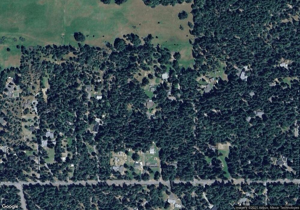
Map
Nearby Homes
- 7310 W Evans Creek Rd
- 7118 Redthorne Rd
- 9184 W Evans Creek Rd
- 255 Queens Branch Rd
- 149 Queens Branch Rd
- 7994 E Evans Creek Rd
- 835 Minthorne Rd
- 100 Minthorne Rd
- 1205 Pine Grove Rd
- 8797 W Evans Creek Rd
- 1740 Pleasant Creek Rd
- 1105 Pine Grove Rd
- 643 Covered Bridge Rd
- 10100 W Evans Creek Rd
- 8951 E Evans Creek Rd Unit 14
- 6324 E Evans Creek Rd
- 798 Covered Bridge Rd
- 9820 E Evans Creek Rd
- 18515 Ditch Creek Rd
- 256 Deruyte Way
- 1090 Queens Branch Rd
- 1280 Queens Branch Rd
- 1168 Queens Branch Rd
- 1260 Queens Branch Rd
- 1076 Queens Branch Rd
- 1186 Queens Branch Rd
- 1124 Queens Branch Rd
- 1060 Queens Branch Rd
- 1230 Queens Branch Rd
- 1054 Queens Branch Rd
- 1131 Queens Branch Rd
- 1050 Queens Branch Rd
- 1167 Queens Branch Rd
- 1334 Queens Branch Rd
- 1366 Queens Branch Rd
- 1000 Queens Branch Rd
- 1038 Queens Branch Rd
- 1420 Queens Branch Rd
- 900 Queens Branch Rd
- 1059 Queens Branch Rd