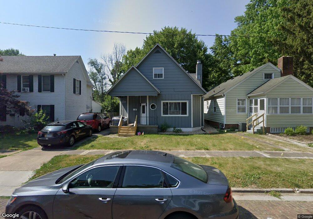
1144 W Cook St Springfield, IL 62704
Historic West Side NeighborhoodEstimated Value: $124,000 - $138,000
3
Beds
1
Bath
1,699
Sq Ft
$76/Sq Ft
Est. Value
About This Home
This home is located at 1144 W Cook St, Springfield, IL 62704 and is currently estimated at $128,543, approximately $75 per square foot. 1144 W Cook St is a home located in Sangamon County with nearby schools including Dubois Elementary School, U.S. Grant Middle School, and Springfield High School.
Ownership History
Date
Name
Owned For
Owner Type
Purchase Details
Closed on
Dec 23, 2009
Current Estimated Value
Purchase Details
Closed on
Oct 13, 2009
Purchase Details
Closed on
Jun 30, 2009
Purchase Details
Closed on
Sep 24, 2008
Purchase Details
Closed on
Sep 10, 2007
Purchase Details
Closed on
Jan 29, 2005
Purchase Details
Closed on
Jan 26, 2005
Purchase Details
Closed on
Dec 18, 2004
Purchase Details
Closed on
Nov 16, 2004
Purchase Details
Closed on
Feb 13, 2004
Purchase Details
Closed on
Mar 20, 1995
Create a Home Valuation Report for This Property
The Home Valuation Report is an in-depth analysis detailing your home's value as well as a comparison with similar homes in the area
Home Values in the Area
Average Home Value in this Area
Purchase History
| Date | Buyer | Sale Price | Title Company |
|---|---|---|---|
| -- | -- | -- | |
| -- | $44,000 | -- | |
| -- | -- | -- | |
| -- | -- | -- | |
| -- | $77,000 | -- | |
| -- | -- | -- | |
| -- | $73,000 | -- | |
| -- | -- | -- | |
| -- | $25,000 | -- | |
| -- | -- | -- | |
| -- | $67,000 | -- |
Source: Public Records
Tax History
| Year | Tax Paid | Tax Assessment Tax Assessment Total Assessment is a certain percentage of the fair market value that is determined by local assessors to be the total taxable value of land and additions on the property. | Land | Improvement |
|---|---|---|---|---|
| 2024 | $2,989 | $35,591 | $5,080 | $30,511 |
| 2023 | $2,874 | $32,509 | $4,640 | $27,869 |
| 2022 | $2,763 | $30,837 | $4,401 | $26,436 |
| 2021 | $2,672 | $29,682 | $4,236 | $25,446 |
| 2020 | $2,619 | $29,726 | $4,242 | $25,484 |
| 2019 | $2,570 | $29,622 | $4,227 | $25,395 |
| 2018 | $2,486 | $29,422 | $4,206 | $25,216 |
| 2017 | $2,434 | $29,042 | $4,152 | $24,890 |
| 2016 | $2,387 | $28,618 | $4,091 | $24,527 |
| 2015 | $2,364 | $28,276 | $4,042 | $24,234 |
| 2014 | $2,298 | $28,093 | $4,016 | $24,077 |
| 2013 | $2,246 | $27,726 | $4,017 | $23,709 |
Source: Public Records
Map
Nearby Homes
- 545 S Lincoln Ave
- 709 S Douglas Ave
- 817 S Park Ave
- 1316 W Lawrence Ave
- 615 S English Ave
- 342 S Douglas Ave
- 1125 Williams Blvd
- 423 S Adelia St
- 215 S Macarthur Blvd
- 318 S State St
- 1037 W Woodland Ave
- 1020 S Macarthur Blvd
- 112 N Macarthur Blvd
- 631 W Edwards St
- 1212 South Grand Ave W Unit B126
- 236 N English Ave
- 447 W Cook St
- 221 N State St
- 235 N Illinois St
- 504 Williams St
- 1142 W Cook St
- 700 S Lincoln Ave
- 626 S Lincoln Ave
- 1139 W Cook St
- 1136 W Cook St
- 624 S Lincoln Ave
- 1137 W Cook St
- 1134 W Cook St
- 701 S Lincoln Ave
- 703 S Lincoln Ave
- 621 S Lincoln Ave
- 620 S Lincoln Ave
- 1133 W Cook St
- 619 S Lincoln Ave
- 1128 W Cook St
- 705 S Lincoln Ave
- 1129 W Cook St
- 615 S Lincoln Ave
- 709 S Lincoln Ave
- 1130 W Cook St
Your Personal Tour Guide
Ask me questions while you tour the home.