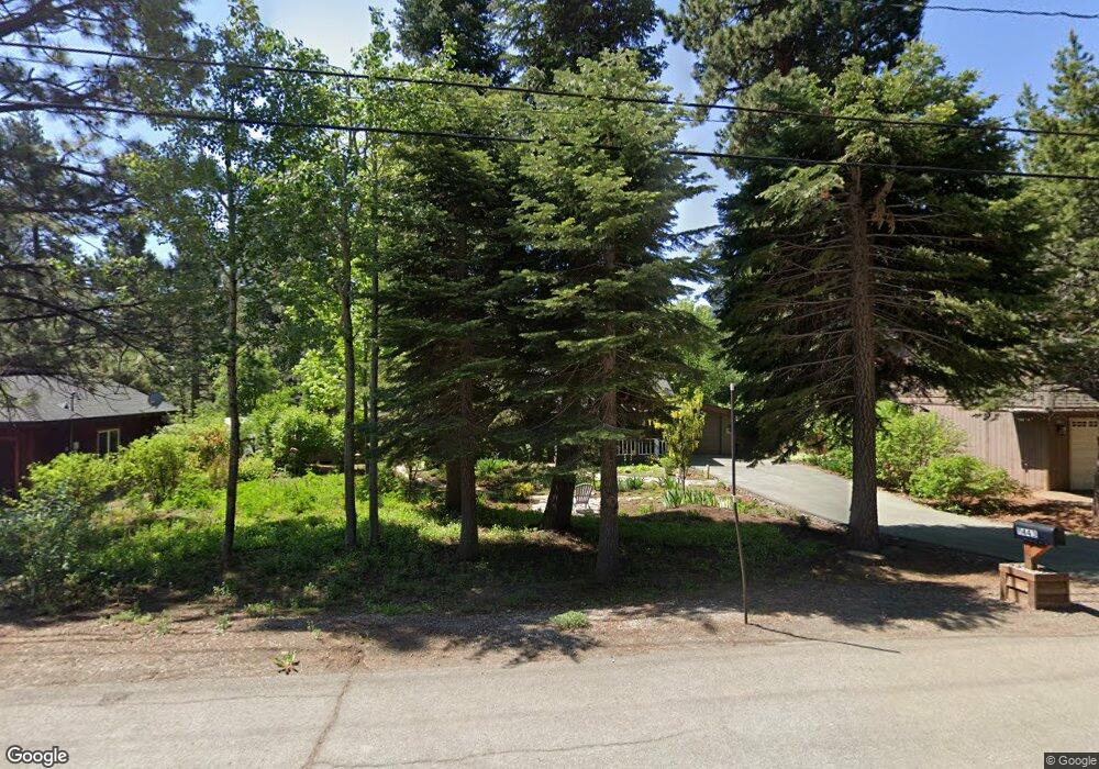
11443 Silverfir Dr Truckee, CA 96161
South Truckee NeighborhoodEstimated Value: $816,000 - $840,000
2
Beds
2
Baths
1,075
Sq Ft
$770/Sq Ft
Est. Value
About This Home
This home is located at 11443 Silverfir Dr, Truckee, CA 96161 and is currently estimated at $827,759, approximately $770 per square foot. 11443 Silverfir Dr is a home located in Placer County with nearby schools including Truckee Elementary School, Alder Creek Middle School, and Tahoe Truckee High School.
Ownership History
Date
Name
Owned For
Owner Type
Purchase Details
Closed on
Jun 17, 1998
Sold by
Klang Edy
Bought by
Klang Edy
Current Estimated Value
Purchase Details
Closed on
Mar 11, 1998
Sold by
Panevics Edy L and Panevics Edy
Bought by
Klang Edy
Home Financials for this Owner
Home Financials are based on the most recent Mortgage that was taken out on this home.
Original Mortgage
$95,550
Interest Rate
7.11%
Create a Home Valuation Report for This Property
The Home Valuation Report is an in-depth analysis detailing your home's value as well as a comparison with similar homes in the area
Home Values in the Area
Average Home Value in this Area
Purchase History
| Date | Buyer | Sale Price | Title Company |
|---|---|---|---|
| Klang Edy | -- | -- | |
| Klang Edy | -- | Inter County Title Co |
Source: Public Records
Mortgage History
| Date | Status | Borrower | Loan Amount |
|---|---|---|---|
| Closed | Klang Edy | $95,550 |
Source: Public Records
Tax History Compared to Growth
Tax History
| Year | Tax Paid | Tax Assessment Tax Assessment Total Assessment is a certain percentage of the fair market value that is determined by local assessors to be the total taxable value of land and additions on the property. | Land | Improvement |
|---|---|---|---|---|
| 2025 | $2,469 | $216,676 | $53,727 | $162,949 |
| 2023 | $2,469 | $208,264 | $51,642 | $156,622 |
| 2022 | $2,427 | $204,181 | $50,630 | $153,551 |
| 2021 | $2,150 | $200,179 | $49,638 | $150,541 |
| 2020 | $2,175 | $198,128 | $49,130 | $148,998 |
| 2019 | $2,186 | $194,244 | $48,167 | $146,077 |
| 2018 | $2,110 | $190,436 | $47,223 | $143,213 |
| 2017 | $2,075 | $186,703 | $46,298 | $140,405 |
| 2016 | $2,062 | $183,043 | $45,391 | $137,652 |
| 2015 | $2,011 | $180,295 | $44,710 | $135,585 |
| 2014 | $1,926 | $176,765 | $43,835 | $132,930 |
Source: Public Records
Map
Nearby Homes
- 10850 Pine Cone Dr
- 11151 Knotty Pine Dr
- 11645 Kleckner Ct
- 10910 Palisades Dr
- 10335 Old Brockway Rd
- 000 Rue Hilltop
- 10237 Winter Creek Loop
- 10336 Palisades Dr
- 10191 W River St
- 10537 Stone Pine Rd
- 10121 Palisades Dr Unit 2
- 10050 SE River St
- 9264 Heartwood Dr
- 10154 High St
- 9240 Heartwood Dr
- 9270 Brae Rd
- 9278 Brae Rd
- 10008 High St
- 9195 Tarn Cir
- 9287 Brae Rd
- 11443 Silver Fir Dr
- 11423 Silverfir Dr
- 11463 Silver Fir Dr
- 11463 Silverfir Dr
- 11495 Silverfir Dr
- 11403 Silverfir Dr
- 11442 Silver Fir Dr
- 11442 Silverfir Dr
- 11462 Silverfir Dr
- 11422 Silverfir Dr
- 11490 Silverfir Dr
- 11505 Silverfir Dr
- 11402 Silverfir Dr
- 11502 Silver Fir Dr
- 11502 Silverfir Dr
- 11382 Silver Fir Dr
- 11373 Silver Fir Dr
- 11382 Silverfir Dr
- 11515 Silverfir Dr
- 11373 Silverfir Dr