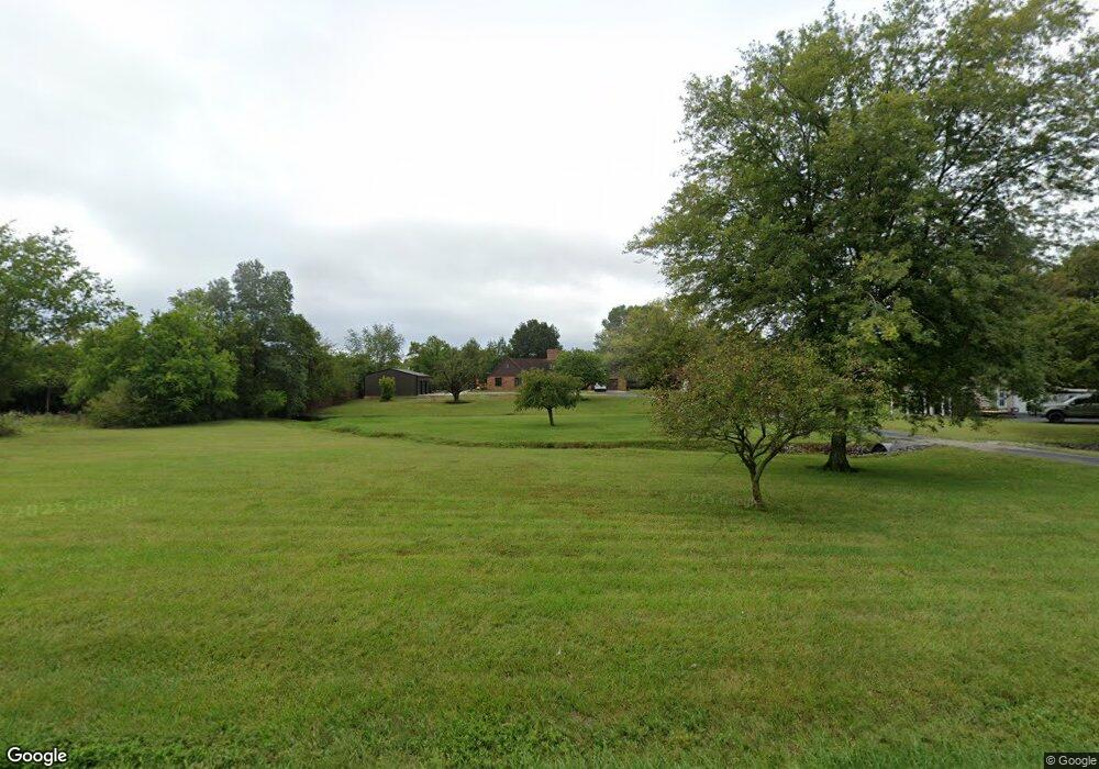
11444 Airport Rd Sparta, IL 62286
Estimated Value: $229,000 - $306,000
--
Bed
--
Bath
--
Sq Ft
2.85
Acres
About This Home
This home is located at 11444 Airport Rd, Sparta, IL 62286 and is currently estimated at $280,155. 11444 Airport Rd is a home located in Randolph County with nearby schools including Sparta High School.
Ownership History
Date
Name
Owned For
Owner Type
Purchase Details
Closed on
Nov 18, 2024
Sold by
Wilson Dana G and Wilson Rory G
Bought by
Wilson Dana G and Wilson Rory G
Current Estimated Value
Purchase Details
Closed on
Jun 13, 2023
Sold by
Koenegstein Robert Carl
Bought by
Wilson Dana G
Create a Home Valuation Report for This Property
The Home Valuation Report is an in-depth analysis detailing your home's value as well as a comparison with similar homes in the area
Home Values in the Area
Average Home Value in this Area
Purchase History
| Date | Buyer | Sale Price | Title Company |
|---|---|---|---|
| Wilson Dana G | -- | None Listed On Document | |
| Wilson Dana G | -- | None Listed On Document | |
| Wilson Dana G | $130,000 | None Listed On Document | |
| Koenegstein Robert Carl | -- | None Listed On Document |
Source: Public Records
Tax History Compared to Growth
Tax History
| Year | Tax Paid | Tax Assessment Tax Assessment Total Assessment is a certain percentage of the fair market value that is determined by local assessors to be the total taxable value of land and additions on the property. | Land | Improvement |
|---|---|---|---|---|
| 2024 | $5,302 | $77,535 | $7,155 | $70,380 |
| 2023 | $4,524 | $72,040 | $6,650 | $65,390 |
| 2022 | $3,737 | $67,970 | $2,580 | $65,390 |
| 2021 | $4,157 | $67,090 | $2,545 | $64,545 |
| 2020 | $3,916 | $69,040 | $2,621 | $66,419 |
| 2019 | $4,359 | $68,530 | $2,600 | $65,930 |
| 2018 | $4,371 | $75,555 | $2,867 | $72,688 |
| 2017 | $3,610 | $69,145 | $2,625 | $66,520 |
| 2016 | $3,906 | $66,635 | $2,530 | $64,105 |
| 2015 | $3,966 | $66,635 | $2,530 | $64,105 |
| 2014 | $3,966 | $67,940 | $2,580 | $65,360 |
| 2013 | $4,490 | $78,180 | $2,615 | $75,565 |
Source: Public Records
Map
Nearby Homes
- 151 Doc Lin Dr
- 1125 N Market St
- 119 Fox Run
- 1821 Mark Dr
- 520 E Mound St
- 712 E Harrison St
- 801 N Market St
- 321 Sunset Dr
- 2125 N Market St
- 515 N Market St
- 501 N Market St
- 1019 E Broadway St
- 1117 Meadow Ln
- 1019 E Main St
- 510 E Main St
- 2821 N Market St
- 1119 Norwood Dr
- 540 E Broadway St
- 1007 Hillcrest Dr
- 105 S Washington
- 11430 Airport Rd
- 11451 Airport Rd
- 11412 Airport Rd
- 11412 Airport Rd Unit 1
- 1450 N Miller St
- 1400 N Miller St
- 11409 Airport Rd
- 0XXX Airport Rd
- 1205 N Miller St
- 9310 Hunter Field Rd
- 1210 N Miller St
- 9322 Hunter Field Rd
- 1166 N Miller St
- 9371 Hunter Field Rd
- 9421 Hunter Field Rd
- 1505 N Market St
- 1701 N Market St
- 1733 N Market St
- 0 Doc Lin Dr Unit 18009755
- 0 Doc Lin Dr Unit 4015482