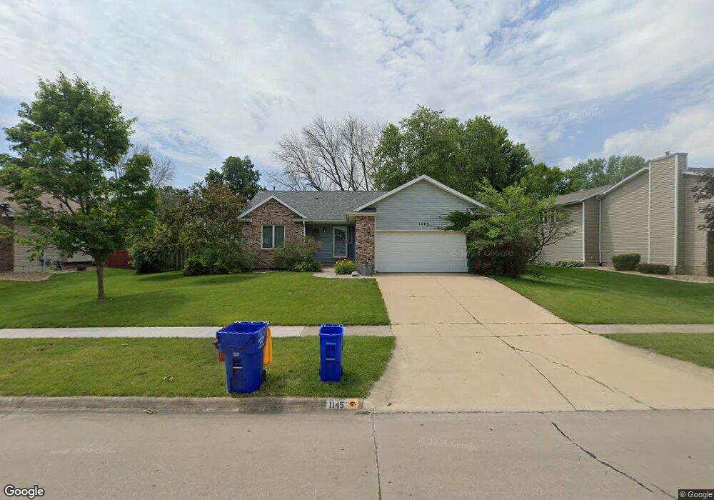
1145 Saint Andrews Dr North Liberty, IA 52317
Estimated Value: $280,000 - $325,406
4
Beds
3
Baths
1,268
Sq Ft
$243/Sq Ft
Est. Value
About This Home
This home is located at 1145 Saint Andrews Dr, North Liberty, IA 52317 and is currently estimated at $308,102, approximately $242 per square foot. 1145 Saint Andrews Dr is a home located in Johnson County with nearby schools including James Van Allen Elementary School, North Central Junior High School, and Liberty High School.
Ownership History
Date
Name
Owned For
Owner Type
Purchase Details
Closed on
Aug 10, 2022
Sold by
Roos Benjamin R
Bought by
Erickson Ashley
Current Estimated Value
Home Financials for this Owner
Home Financials are based on the most recent Mortgage that was taken out on this home.
Original Mortgage
$236,300
Outstanding Balance
$224,397
Interest Rate
4.88%
Mortgage Type
New Conventional
Estimated Equity
$83,705
Create a Home Valuation Report for This Property
The Home Valuation Report is an in-depth analysis detailing your home's value as well as a comparison with similar homes in the area
Home Values in the Area
Average Home Value in this Area
Purchase History
| Date | Buyer | Sale Price | Title Company |
|---|---|---|---|
| Erickson Ashley | $278,000 | None Listed On Document |
Source: Public Records
Mortgage History
| Date | Status | Borrower | Loan Amount |
|---|---|---|---|
| Open | Erickson Ashley | $236,300 |
Source: Public Records
Tax History Compared to Growth
Tax History
| Year | Tax Paid | Tax Assessment Tax Assessment Total Assessment is a certain percentage of the fair market value that is determined by local assessors to be the total taxable value of land and additions on the property. | Land | Improvement |
|---|---|---|---|---|
| 2025 | $4,468 | $288,700 | $53,600 | $235,100 |
| 2024 | $4,372 | $259,800 | $53,600 | $206,200 |
| 2023 | $4,208 | $259,800 | $53,600 | $206,200 |
| 2022 | $3,986 | $225,700 | $32,100 | $193,600 |
| 2021 | $3,814 | $225,700 | $32,100 | $193,600 |
| 2020 | $3,814 | $206,300 | $32,100 | $174,200 |
| 2019 | $3,814 | $206,300 | $32,100 | $174,200 |
| 2018 | $3,738 | $206,300 | $32,100 | $174,200 |
| 2017 | $3,738 | $206,300 | $32,100 | $174,200 |
| 2016 | $3,432 | $194,300 | $32,100 | $162,200 |
| 2015 | $3,432 | $194,300 | $32,100 | $162,200 |
| 2014 | $3,194 | $194,100 | $34,200 | $159,900 |
Source: Public Records
Map
Nearby Homes
- 1105 Franklin Dr
- 1315 Franklin St
- 513 Sugar Creek Ln
- 820 Club House Rd Unit 4E
- 835 Prairie St
- 1500 Harvest St
- 120 Shannon Dr Unit 4
- 1040 Harrison St
- 1050 Harrison St
- 115 N Colton Dr
- 711 Chamberlin Ln
- 715 Chamberlin Ln
- 721 Chamberlin Ln
- 1860 Denison Ave
- 455 Heritage Place
- 1350 Chipman Ln
- 445 Heritage Place
- 805 Blue Sky Dr Unit 301
- 425 Heritage Place
- 415 Heritage Place Unit 417
- 1145 St Andrews Dr
- 1165 Saint Andrews Dr
- 690 S Jones Blvd
- 700 S Jones Blvd
- 1085 Saint Andrews Dr
- 1140 Saint Andrews Dr
- 1160 Saint Andrews Dr
- 1120 Saint Andrews Dr
- 710 S Jones Blvd
- 1180 Saint Andrews Dr
- 1080 Saint Andrews Dr
- 720 S Jones Blvd
- 1060 Saint Andrews Dr
- 1045 St Andrews Dr
- 1045 Saint Andrews Dr
- 725 S Jones Blvd
- 1040 Saint Andrews Dr
- 730 S Jones Blvd
- 585 S Jones Blvd
- 740 S Jones Blvd