11450 60th St NW Annandale, MN 55302
Estimated Value: $478,000 - $653,000
4
Beds
2
Baths
2,225
Sq Ft
$253/Sq Ft
Est. Value
About This Home
This home is located at 11450 60th St NW, Annandale, MN 55302 and is currently estimated at $563,880, approximately $253 per square foot. 11450 60th St NW is a home located in Wright County with nearby schools including Annandale Elementary School, Annandale Middle School, and Annandale Senior High School.
Ownership History
Date
Name
Owned For
Owner Type
Purchase Details
Closed on
Mar 26, 2012
Sold by
Dodge Np
Bought by
Liebhard Jerry B and Liebhard Kindra K
Current Estimated Value
Purchase Details
Closed on
Mar 14, 2012
Sold by
Zandmesser Tysen D and Zandmesser Maria L
Bought by
Dodge Np
Purchase Details
Closed on
Nov 27, 2002
Sold by
Markdikian Lloyd R and Markdikian Jacqueline B
Bought by
Landmesser Tysen D and Landmesser Maria L
Purchase Details
Closed on
Jul 21, 2000
Sold by
Parady Mark and Parady Linda L
Bought by
Mardikian Lloyd R and Mardikian Jacqueline B
Create a Home Valuation Report for This Property
The Home Valuation Report is an in-depth analysis detailing your home's value as well as a comparison with similar homes in the area
Home Values in the Area
Average Home Value in this Area
Purchase History
| Date | Buyer | Sale Price | Title Company |
|---|---|---|---|
| Liebhard Jerry B | $228,500 | -- | |
| Dodge Np | $228,500 | -- | |
| Landmesser Tysen D | $268,500 | -- | |
| Mardikian Lloyd R | $219,240 | -- | |
| Parady Mark | $150,000 | -- |
Source: Public Records
Tax History Compared to Growth
Tax History
| Year | Tax Paid | Tax Assessment Tax Assessment Total Assessment is a certain percentage of the fair market value that is determined by local assessors to be the total taxable value of land and additions on the property. | Land | Improvement |
|---|---|---|---|---|
| 2025 | $3,886 | $572,200 | $191,000 | $381,200 |
| 2024 | $2,570 | $510,300 | $190,000 | $320,300 |
| 2023 | $2,518 | $468,000 | $193,600 | $274,400 |
| 2022 | $2,332 | $393,800 | $143,400 | $250,400 |
| 2021 | $2,356 | $324,700 | $114,500 | $210,200 |
| 2020 | $2,350 | $312,000 | $109,500 | $202,500 |
| 2019 | $2,198 | $67,900 | $0 | $0 |
| 2018 | $2,046 | $201,700 | $0 | $0 |
| 2017 | $1,940 | $256,900 | $0 | $0 |
| 2016 | $1,776 | $0 | $0 | $0 |
| 2015 | $1,682 | $0 | $0 | $0 |
| 2014 | -- | $0 | $0 | $0 |
Source: Public Records
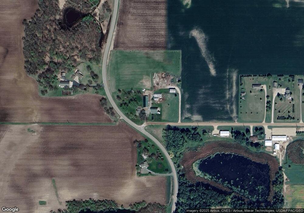
Map
Nearby Homes
- 521 Douglas Dr S
- 431 Valley Dr W
- 451 Valley Dr W
- 440 Valley Dr W
- 520 Douglas Dr S
- 510 Douglas Dr S
- 511 Douglas Dr S
- 681 Irwin Cir
- 945 Acacia Cir S
- 341 Florence Ave S
- 391 Florence Ave S
- 381 Florence Ave S
- 371 Florence Ave S
- 361 Florence Ave S
- 401 Florence Ave S
- 215 Ash St E
- 311 Florence Ave S
- Olson Plan at Triplett Farms
- Lincoln Plan at Triplett Farms
- Goodhue Plan at Triplett Farms
- 5941 County Road 5 NW
- 6047 County Road 5 NW
- 11246 11246 Nw 60th-Street-nw
- 11246 11246 60th-Street-nw
- 11246 60th St NW
- 5801 County Road 5 NW
- 11263 60th St NW
- 11224 60th St NW
- 11188 60th St NW
- 6346 County Road 5 NW
- 5551 County Road 5 NW
- 5931 Lathrop Ave NW
- 6517 County Road 5 NW
- 11684 55th St NW
- 5453 County Road 5 NW
- XX2 Ingram Ave NW
- 6503 County Road 5 NW
- 6553 County Road 5 NW
- 5474 County Road 5 NW
- 12001 62nd St NW