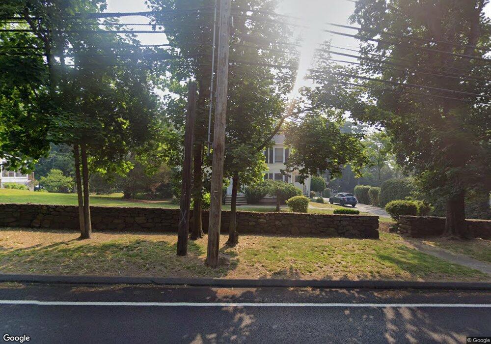
1146 N Benson Rd Fairfield, CT 06824
University NeighborhoodEstimated Value: $1,163,000 - $1,504,000
4
Beds
5
Baths
2,680
Sq Ft
$486/Sq Ft
Est. Value
About This Home
This home is located at 1146 N Benson Rd, Fairfield, CT 06824 and is currently estimated at $1,301,143, approximately $485 per square foot. 1146 N Benson Rd is a home located in Fairfield County with nearby schools including Osborn Hill Elementary School, Fairfield Woods Middle School, and Fairfield Ludlowe High School.
Ownership History
Date
Name
Owned For
Owner Type
Purchase Details
Closed on
Dec 6, 2024
Sold by
Cucchiarelli Kathleen T
Bought by
Cucch T T and Cucch Cucchiarelli
Current Estimated Value
Purchase Details
Closed on
Oct 1, 2009
Sold by
Handler Preston
Bought by
Cucchiarelli Kathleen T
Home Financials for this Owner
Home Financials are based on the most recent Mortgage that was taken out on this home.
Original Mortgage
$395,000
Interest Rate
5.09%
Purchase Details
Closed on
Dec 29, 1999
Sold by
Daily Francis F and Daily Rose D
Bought by
Handler Preston and Handler Kathleen
Create a Home Valuation Report for This Property
The Home Valuation Report is an in-depth analysis detailing your home's value as well as a comparison with similar homes in the area
Home Values in the Area
Average Home Value in this Area
Purchase History
| Date | Buyer | Sale Price | Title Company |
|---|---|---|---|
| Cucch T T | -- | None Available | |
| Cucch T T | -- | None Available | |
| Cucch T T | -- | None Available | |
| Cucchiarelli Kathleen T | -- | -- | |
| Handler Preston | $425,000 | -- | |
| Cucchiarelli Kathleen T | -- | -- | |
| Handler Preston | $425,000 | -- |
Source: Public Records
Mortgage History
| Date | Status | Borrower | Loan Amount |
|---|---|---|---|
| Previous Owner | Handler Preston | $395,000 | |
| Previous Owner | Handler Preston | $60,000 |
Source: Public Records
Tax History
| Year | Tax Paid | Tax Assessment Tax Assessment Total Assessment is a certain percentage of the fair market value that is determined by local assessors to be the total taxable value of land and additions on the property. | Land | Improvement |
|---|---|---|---|---|
| 2025 | $13,118 | $462,070 | $255,500 | $206,570 |
| 2024 | $12,892 | $462,070 | $255,500 | $206,570 |
| 2023 | $12,712 | $462,070 | $255,500 | $206,570 |
| 2022 | $12,587 | $462,070 | $255,500 | $206,570 |
| 2021 | $12,467 | $462,070 | $255,500 | $206,570 |
| 2020 | $12,786 | $477,260 | $252,910 | $224,350 |
| 2019 | $12,786 | $477,260 | $252,910 | $224,350 |
| 2018 | $12,581 | $477,260 | $252,910 | $224,350 |
| 2017 | $0 | $477,260 | $252,910 | $224,350 |
| 2016 | $12,146 | $477,260 | $252,910 | $224,350 |
| 2015 | $11,279 | $455,000 | $200,900 | $254,100 |
| 2014 | $11,102 | $455,000 | $200,900 | $254,100 |
Source: Public Records
Map
Nearby Homes
- 1478 Jennings Rd
- 15 Barton Rd
- 1091 Round Hill Rd
- 68 Figlar Ave
- 42 Robin Cir
- 70 Meadow Ridge Rd
- 196 Robin Ln
- 1353 Mill Plain Rd
- 77 Meadowbrook Rd
- 164 Wakeman Rd
- 274 High St
- 359 Reid St
- 20 Ermine St
- 245 Reid St
- 12 Reynolds Dr
- 11 Tuckahoe Ln
- 240 Sunnyridge Ave Unit 63
- 218 Lower Farm Rd
- 28 Country Rd
- 115 Mayfair Rd
- 1124 N Benson Rd
- 1170 N Benson Rd
- 1102 N Benson Rd
- 1208 N Benson Rd
- 503 Wormwood Rd
- 457 Wormwood Rd
- 439 Wormwood Rd
- 1082 N Benson Rd
- 543 Wormwood Rd
- 473 Wormwood Rd
- 487 Wormwood Rd
- 425 Wormwood Rd
- 295 Osborne Hill Rd
- 273 Osborne Hill Rd
- 1062 N Benson Rd
- 525 Wormwood Rd
- 490 Wormwood Rd
- 315 Osborne Hill Rd
- 462 Wormwood Rd
- 446 Wormwood Rd
Your Personal Tour Guide
Ask me questions while you tour the home.