11461 D Dr S Ceresco, MI 49033
Estimated Value: $581,000 - $1,057,889
3
Beds
3
Baths
2,212
Sq Ft
$370/Sq Ft
Est. Value
About This Home
This home is located at 11461 D Dr S, Ceresco, MI 49033 and is currently estimated at $819,445, approximately $370 per square foot. 11461 D Dr S is a home with nearby schools including Harper Creek Middle School and Harper Creek High School.
Ownership History
Date
Name
Owned For
Owner Type
Purchase Details
Closed on
Oct 27, 2021
Sold by
Lapp Andrew S and Andrew Lapp Jr Living Trust
Bought by
Lapp Andrew S and Lapp Raquel
Current Estimated Value
Home Financials for this Owner
Home Financials are based on the most recent Mortgage that was taken out on this home.
Original Mortgage
$623,000
Outstanding Balance
$569,349
Interest Rate
2.8%
Mortgage Type
Purchase Money Mortgage
Estimated Equity
$250,096
Purchase Details
Closed on
Jun 8, 2012
Sold by
Hughes Thomas and Hughes Tina
Bought by
Donald W Day Trust
Purchase Details
Closed on
Jul 7, 1999
Sold by
Hughes Norwood and Hughes Evelyn
Bought by
Hughes Norwood G and Hughes Evelyn
Create a Home Valuation Report for This Property
The Home Valuation Report is an in-depth analysis detailing your home's value as well as a comparison with similar homes in the area
Home Values in the Area
Average Home Value in this Area
Purchase History
| Date | Buyer | Sale Price | Title Company |
|---|---|---|---|
| Lapp Andrew S | -- | None Available | |
| Lapp Andrew S | -- | None Listed On Document | |
| Donald W Day Trust | $275,000 | None Available | |
| Hughes Thomas | -- | None Available | |
| Hughes Norwood G | -- | -- |
Source: Public Records
Mortgage History
| Date | Status | Borrower | Loan Amount |
|---|---|---|---|
| Open | Lapp Andrew S | $623,000 | |
| Closed | Lapp Andrew S | $623,000 |
Source: Public Records
Tax History Compared to Growth
Tax History
| Year | Tax Paid | Tax Assessment Tax Assessment Total Assessment is a certain percentage of the fair market value that is determined by local assessors to be the total taxable value of land and additions on the property. | Land | Improvement |
|---|---|---|---|---|
| 2025 | $12,408 | $536,000 | $0 | $0 |
| 2024 | $7,916 | $482,600 | $0 | $0 |
| 2023 | $5,461 | $462,400 | $0 | $0 |
| 2022 | $5,461 | $295,500 | $0 | $0 |
| 2021 | $3,851 | $291,000 | $0 | $0 |
| 2020 | $3,762 | $284,900 | $0 | $0 |
| 2019 | $0 | $296,900 | $0 | $0 |
| 2018 | $0 | $297,900 | $226,000 | $71,900 |
| 2017 | $0 | $280,400 | $0 | $0 |
| 2016 | $0 | $287,500 | $0 | $0 |
| 2015 | -- | $272,600 | $0 | $0 |
| 2014 | -- | $271,500 | $0 | $0 |
Source: Public Records
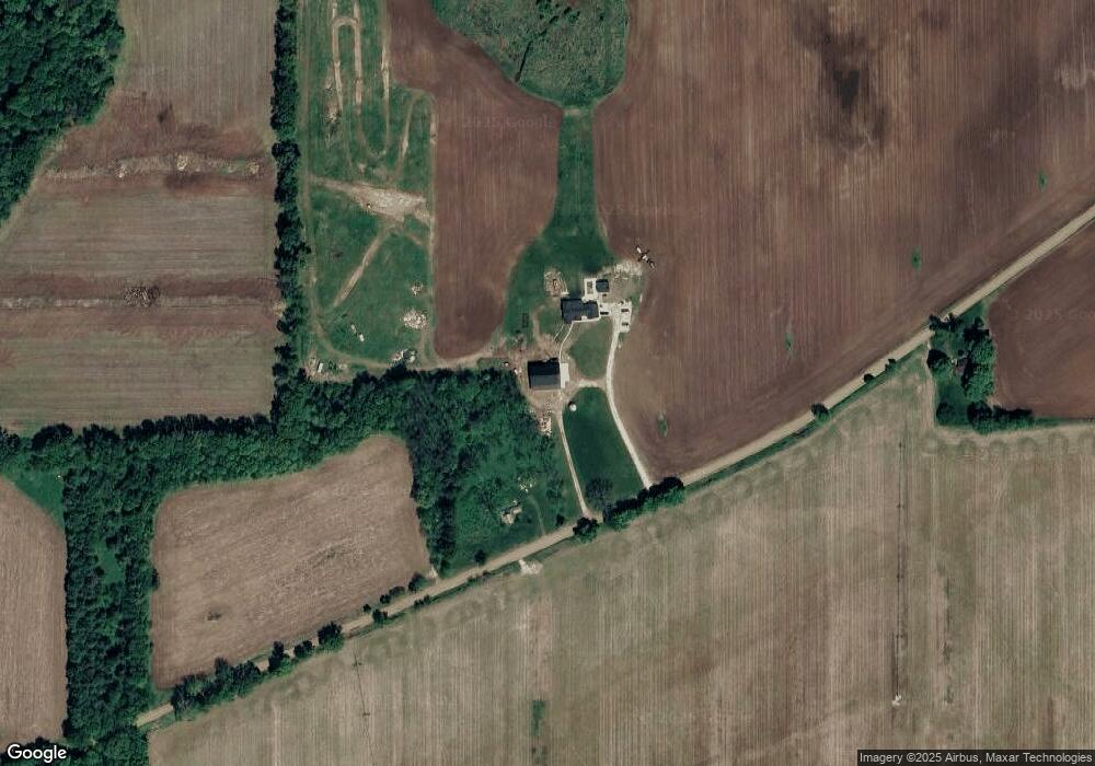
Map
Nearby Homes
- 10047 11 Mile Rd
- 10660 D Dr S
- 11445 F Dr S
- 11506 11 Mile Rd
- 8295 D Dr S
- V/L 10 Mile Rd
- 9304 I Dr S
- 14880 C Dr S
- 11253 Wildwood Dr
- 275 Battle Creek St
- 6703 Oak Grove Rd
- V/L Cedar Lake
- 12460 Beadle Lake Rd
- 0 15 1 2 Mile Rd Unit 25024661
- 13028 Harper Crossing
- 1375 Woodland Beach
- 5055 12 1 2 Mile Rd
- 323 Wattles Rd S
- 6185 Willow Run Dr
- 2851 Kistler Rd
- 11423 E Dr S
- 10056 11 Mile Rd
- 11837 D Dr S
- 10165 11 Mile Rd
- 11165 E Dr S
- 9730 11 Mile Rd
- 9997 11 Mile Rd
- 0 Newton Unit 5587165
- 10235 11 Mile Rd
- 11066 E Dr S
- 0 11 Mile Rd
- 10100 12 Mile Rd
- 10513 12 Mile Rd
- 10550 12 Mile Rd
- 10020 12 Mile Rd
- 10711 D Dr S
- 12051 S C Dr
- 10800 D Dr S
- 10666 12 Mile Rd
- 0 12 Mile Rd