11462 Highway 15 Brownton, MN 55312
Estimated Value: $453,000
5
Beds
1
Bath
2,531
Sq Ft
$179/Sq Ft
Est. Value
About This Home
This home is located at 11462 Highway 15, Brownton, MN 55312 and is currently estimated at $453,000, approximately $178 per square foot. 11462 Highway 15 is a home located in McLeod County with nearby schools including Lincoln Elementary School, Lakeside Elementary School, and Glencoe-Silver Lake Jr. High School.
Ownership History
Date
Name
Owned For
Owner Type
Purchase Details
Closed on
Jan 18, 2012
Sold by
Zimmerman Alan F and Zimmerman Kathy L
Bought by
Knick Laurie and Clemenson Leah
Current Estimated Value
Create a Home Valuation Report for This Property
The Home Valuation Report is an in-depth analysis detailing your home's value as well as a comparison with similar homes in the area
Home Values in the Area
Average Home Value in this Area
Purchase History
| Date | Buyer | Sale Price | Title Company |
|---|---|---|---|
| Knick Laurie | -- | -- |
Source: Public Records
Tax History Compared to Growth
Tax History
| Year | Tax Paid | Tax Assessment Tax Assessment Total Assessment is a certain percentage of the fair market value that is determined by local assessors to be the total taxable value of land and additions on the property. | Land | Improvement |
|---|---|---|---|---|
| 2024 | $1,256 | $476,900 | $144,300 | $332,600 |
| 2023 | $1,224 | $471,100 | $138,500 | $332,600 |
| 2022 | $920 | $461,300 | $132,800 | $328,500 |
| 2021 | $926 | $367,000 | $104,200 | $262,800 |
| 2020 | $3,394 | $367,000 | $104,200 | $262,800 |
| 2019 | $2,822 | $344,500 | $94,400 | $250,100 |
| 2018 | $1,960 | $0 | $0 | $0 |
| 2017 | $1,850 | $0 | $0 | $0 |
| 2016 | $1,804 | $0 | $0 | $0 |
| 2015 | $1,556 | $0 | $0 | $0 |
| 2014 | -- | $0 | $0 | $0 |
Source: Public Records
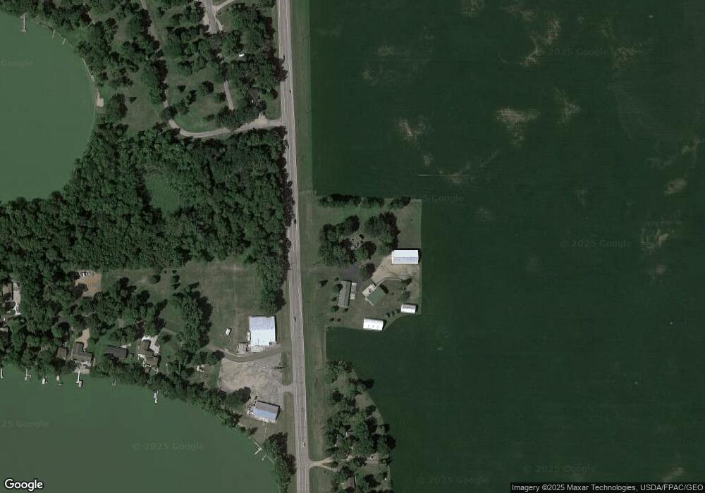
Map
Nearby Homes
- 11742 Sunset Cir
- 11655 Sunset Cir
- Lot 2 Tagus Ave
- 237 5th St N
- 16452 90th St
- 304 1st Ave N
- xxx Lot 3 Division St W
- 15554 130th St
- 531 2nd St N
- 752 2nd St N
- 15092 Highway 15 S
- 122 2nd Ave S
- 221 3rd Ave S
- XXX US Hwy 212
- xxx Lot 2 Us Hwy 212
- 12893 County Road 7
- 7612 Plum Ave
- Lot 2 U S Highway 212
- XXX Airport Rd
- 13198 100th St
- 11462 Highway 15
- 11431 Minnesota 15
- 11324 Highway 15
- XXX Hwy 15 S
- 11288 Highway 15
- 19073 115th St
- 11284 Highway 15
- 19091 115th St
- 11262 Highway 15
- 19109 115th Dr
- 19113 115th St
- 19113 115th St
- 19113 115th St
- 11248 Highway 15
- 11248 Highway 15
- 19125 115th St
- 19127 115th Dr
- 11204 Highway 15
- 19139 115th St
- 19139 115th St