1147 Case Rd Wesson, MS 39191
Estimated Value: $76,605 - $203,000
Studio
1
Bath
1,471
Sq Ft
$83/Sq Ft
Est. Value
About This Home
This home is located at 1147 Case Rd, Wesson, MS 39191 and is currently estimated at $122,651, approximately $83 per square foot. 1147 Case Rd is a home located in Copiah County.
Ownership History
Date
Name
Owned For
Owner Type
Purchase Details
Closed on
Apr 19, 2018
Sold by
Unknown
Bought by
Hutson Carroll M and Hutson Melissa M
Current Estimated Value
Home Financials for this Owner
Home Financials are based on the most recent Mortgage that was taken out on this home.
Original Mortgage
$8,504
Interest Rate
4.45%
Mortgage Type
Purchase Money Mortgage
Purchase Details
Closed on
Aug 28, 2012
Sold by
Byrd Cortez and Byrd Barbara Ann
Bought by
Weyerhaeuser Company
Purchase Details
Closed on
Jul 6, 2012
Sold by
Bancorpsouth Bank
Bought by
The Secretary Of Veterans Affairs
Purchase Details
Closed on
Nov 1, 2011
Sold by
Hutson Carroll Miller and Hutson Evelyn Louise
Bought by
Hutson Carroll Miller and Hutson Melissa M
Create a Home Valuation Report for This Property
The Home Valuation Report is an in-depth analysis detailing your home's value as well as a comparison with similar homes in the area
Purchase History
| Date | Buyer | Sale Price | Title Company |
|---|---|---|---|
| Hutson Carroll M | $8,505 | -- | |
| Weyerhaeuser Company | -- | -- | |
| The Secretary Of Veterans Affairs | -- | -- | |
| Hutson Carroll Miller | -- | -- |
Source: Public Records
Mortgage History
| Date | Status | Borrower | Loan Amount |
|---|---|---|---|
| Closed | Hutson Carroll M | $8,504 |
Source: Public Records
Tax History
| Year | Tax Paid | Tax Assessment Tax Assessment Total Assessment is a certain percentage of the fair market value that is determined by local assessors to be the total taxable value of land and additions on the property. | Land | Improvement |
|---|---|---|---|---|
| 2025 | $294 | $4,921 | $0 | $0 |
| 2024 | $3 | $4,173 | $0 | $0 |
| 2023 | $300 | $4,173 | $0 | $0 |
| 2022 | $305 | $4,173 | $0 | $0 |
| 2021 | $291 | $4,173 | $0 | $0 |
| 2020 | $282 | $3,930 | $0 | $0 |
| 2019 | $288 | $3,930 | $0 | $0 |
| 2018 | $282 | $3,930 | $0 | $0 |
| 2017 | $256 | $3,930 | $0 | $0 |
| 2016 | $256 | $3,668 | $0 | $0 |
| 2015 | $263 | $3,668 | $0 | $0 |
| 2014 | $263 | $3,668 | $0 | $0 |
Source: Public Records
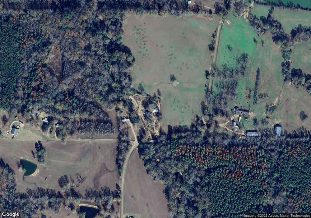
Map
Nearby Homes
- 4069 Dixie Rd
- 4069 Dixie Garden Rd
- 2038 Rocky Hill Rd
- 0 David Britt St
- 1001 Lumley Ln
- 0 Sawders Ln
- 1089 Wells St
- 0 Wells St
- 0 Loom St
- 596 Mount Zion Rd
- 589 Mount Zion Rd
- 594 Mount Zion Rd
- 1079 Beech St
- 3200 Tower Rd
- 4001 Stegall Rd
- 3066 New Sight Dr NE
- 3085 Beauregard Rd
- 0 00 Milltowne Dr
- 0 Milltownte Dr
- 3194 James Rd
Your Personal Tour Guide
Ask me questions while you tour the home.