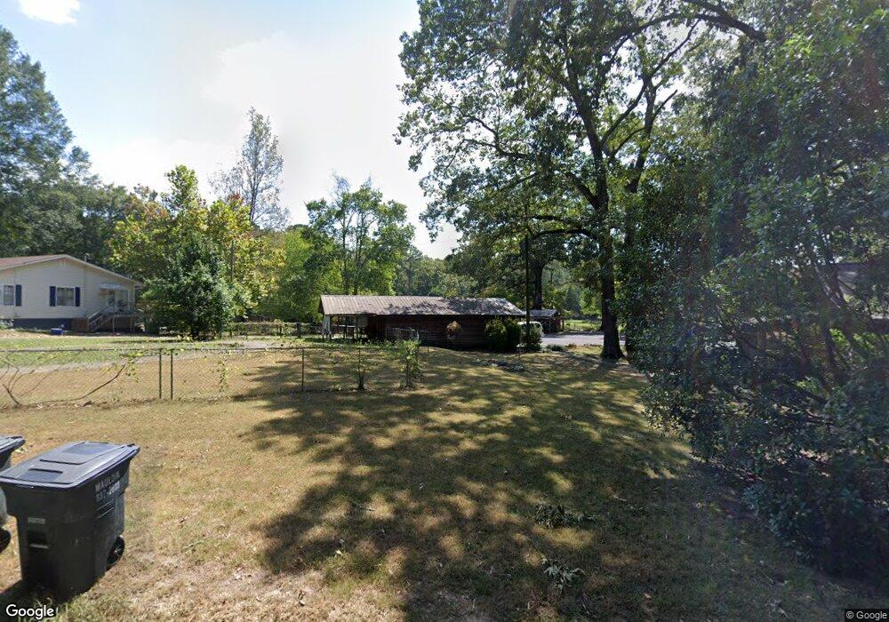
1147 N Wall St Calhoun, GA 30701
Estimated Value: $219,000 - $268,000
3
Beds
2
Baths
1,710
Sq Ft
$144/Sq Ft
Est. Value
About This Home
This home is located at 1147 N Wall St, Calhoun, GA 30701 and is currently estimated at $246,454, approximately $144 per square foot. 1147 N Wall St is a home located in Gordon County with nearby schools including Calhoun Primary School, Calhoun Elementary School, and Calhoun Middle School.
Ownership History
Date
Name
Owned For
Owner Type
Purchase Details
Closed on
Jul 29, 2008
Sold by
Not Provided
Bought by
Butler Robert C and Butler Deborah C
Current Estimated Value
Home Financials for this Owner
Home Financials are based on the most recent Mortgage that was taken out on this home.
Original Mortgage
$125,440
Outstanding Balance
$82,249
Interest Rate
6.31%
Mortgage Type
New Conventional
Estimated Equity
$164,205
Purchase Details
Closed on
Feb 5, 2002
Sold by
Phillips T A
Bought by
Phillips Martha J
Create a Home Valuation Report for This Property
The Home Valuation Report is an in-depth analysis detailing your home's value as well as a comparison with similar homes in the area
Home Values in the Area
Average Home Value in this Area
Purchase History
| Date | Buyer | Sale Price | Title Company |
|---|---|---|---|
| Butler Robert C | $125,000 | -- | |
| Phillips Martha J | -- | -- |
Source: Public Records
Mortgage History
| Date | Status | Borrower | Loan Amount |
|---|---|---|---|
| Open | Butler Robert C | $125,440 | |
| Closed | Butler Robert C | $125,440 |
Source: Public Records
Tax History Compared to Growth
Tax History
| Year | Tax Paid | Tax Assessment Tax Assessment Total Assessment is a certain percentage of the fair market value that is determined by local assessors to be the total taxable value of land and additions on the property. | Land | Improvement |
|---|---|---|---|---|
| 2024 | $1,596 | $56,756 | $5,720 | $51,036 |
| 2023 | $1,506 | $53,556 | $5,720 | $47,836 |
| 2022 | $424 | $44,516 | $5,200 | $39,316 |
| 2021 | $1,115 | $37,436 | $4,240 | $33,196 |
| 2020 | $1,120 | $37,316 | $4,240 | $33,076 |
| 2019 | $1,118 | $37,316 | $4,240 | $33,076 |
| 2018 | $341 | $35,436 | $4,240 | $31,196 |
| 2017 | $331 | $33,636 | $4,240 | $29,396 |
| 2016 | $331 | $33,636 | $4,240 | $29,396 |
| 2015 | $326 | $32,676 | $4,240 | $28,436 |
| 2014 | $317 | $32,240 | $4,268 | $27,972 |
Source: Public Records
Map
Nearby Homes
- 1215 U S 41
- 145 Green Row
- 367 Mount Vernon Dr
- 106 Windmill Ct
- 104 Windmill Ct
- 118 Old Mill Dr
- 115 Old Mill Dr
- 154 Millers Ln
- 137 Millers Ln
- 135 Millers Ln
- 122 Millers Ln
- 111 Nike Dr
- 106 Millers Ln
- 113 Mill Pond Ln
- 108 Mill Stone Dr
- 106 Mount Vernon Dr
- 125 Mill Pond Ln
- 98 Echota 5th St
- 249 Davis Dr
- 91 Echota 4th St