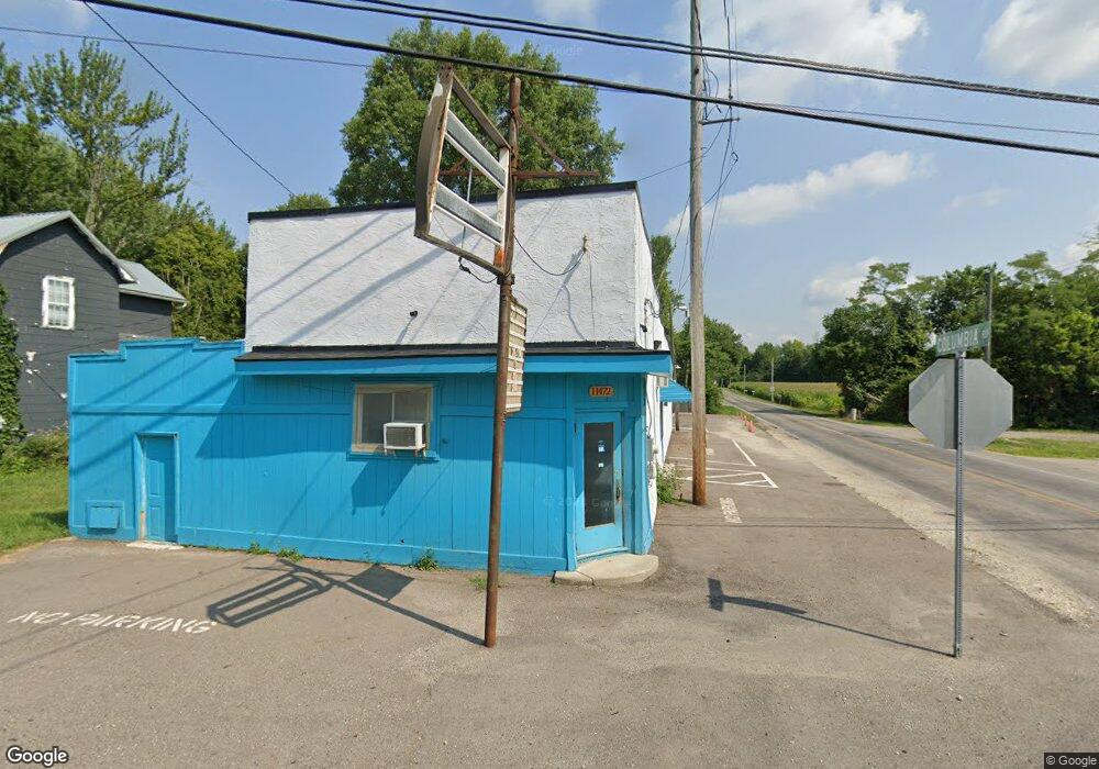
11472 Broad St SW Pataskala, OH 43062
Estimated Value: $162,327
--
Bed
--
Bath
2,571
Sq Ft
$63/Sq Ft
Est. Value
About This Home
This home is located at 11472 Broad St SW, Pataskala, OH 43062 and is currently estimated at $162,327, approximately $63 per square foot. 11472 Broad St SW is a home located in Licking County with nearby schools including North Elementary School, Licking Heights Central, and Licking Heights High School.
Ownership History
Date
Name
Owned For
Owner Type
Purchase Details
Closed on
Oct 28, 2020
Sold by
Byers Brenda Gail and Byers Brenda G
Bought by
Parajuli Hari and Parajuli Tara
Current Estimated Value
Purchase Details
Closed on
Jul 6, 2020
Sold by
Estate Of Michael Gene Byers
Bought by
Byers Brenda Gail
Purchase Details
Closed on
Apr 16, 2018
Sold by
Webb Connie
Bought by
Byers Michael G
Purchase Details
Closed on
Apr 11, 2018
Sold by
Estate Of Lacy O Colegrove
Bought by
Webb Connie
Create a Home Valuation Report for This Property
The Home Valuation Report is an in-depth analysis detailing your home's value as well as a comparison with similar homes in the area
Home Values in the Area
Average Home Value in this Area
Purchase History
| Date | Buyer | Sale Price | Title Company |
|---|---|---|---|
| Parajuli Hari | $110,000 | None Available | |
| Byers Brenda Gail | -- | None Available | |
| Byers Michael G | $20,000 | None Available | |
| Webb Connie | -- | None Available |
Source: Public Records
Tax History Compared to Growth
Tax History
| Year | Tax Paid | Tax Assessment Tax Assessment Total Assessment is a certain percentage of the fair market value that is determined by local assessors to be the total taxable value of land and additions on the property. | Land | Improvement |
|---|---|---|---|---|
| 2024 | $3,949 | $37,350 | $30,630 | $6,720 |
| 2023 | $1,991 | $37,350 | $30,630 | $6,720 |
| 2022 | $2,434 | $35,000 | $21,350 | $13,650 |
| 2021 | $2,536 | $35,000 | $21,350 | $13,650 |
| 2020 | $2,496 | $35,000 | $21,350 | $13,650 |
| 2019 | $2,550 | $35,000 | $21,350 | $13,650 |
| 2018 | $2,613 | $0 | $0 | $0 |
| 2017 | $4,366 | $0 | $0 | $0 |
| 2016 | $2,348 | $0 | $0 | $0 |
| 2015 | $2,236 | $0 | $0 | $0 |
| 2014 | $1,336 | $0 | $0 | $0 |
| 2013 | $2,271 | $0 | $0 | $0 |
Source: Public Records
Map
Nearby Homes
- 11034 Broad St SW
- 23 1st St SW
- 55 1st St SW
- 426 Waterlily Ln
- 405 Waterlily Ln
- 303 Levi Dr Unit Lot 7
- 186 Markway Dr Unit Lot 12
- 305 Levi Dr Unit Lot 6
- 188 Markway Dr Unit Lot 13
- 372 Isaac Tharp St
- 368 Isaac Tharp St
- 342 Isaac Tharp St
- 364 Isaac Tharp St
- 360 Isaac Tharp St
- 210 Cedar St Unit 156b
- 11666 Mill Street Rd SW
- 601 Hannahs SW
- 238 S Vine St
- 164 W Mill St
- 81 Town St
- 11072 Broad St SW
- 11072 Broad St SW
- 11088 Broad St SW
- 11100 Broad St SW
- 6272 Columbia Rd SW
- 6347 Columbia Rd SW
- 11112 Broad St SW
- 11091 Broad St SW
- 6256 Columbia Rd SW
- 6240 Columbia Rd SW
- 11001 E Broad St
- 11001 Broad St SW
- 6396 Columbia Rd SW
- 11119 Broad St SW
- 6379 Columbia Rd SW
- 52 Railroad St SW
- 6224 Columbia Rd SW
- 62 Railroad St SW
- 6180 Columbia Rd SW
- 76 Railroad St SW