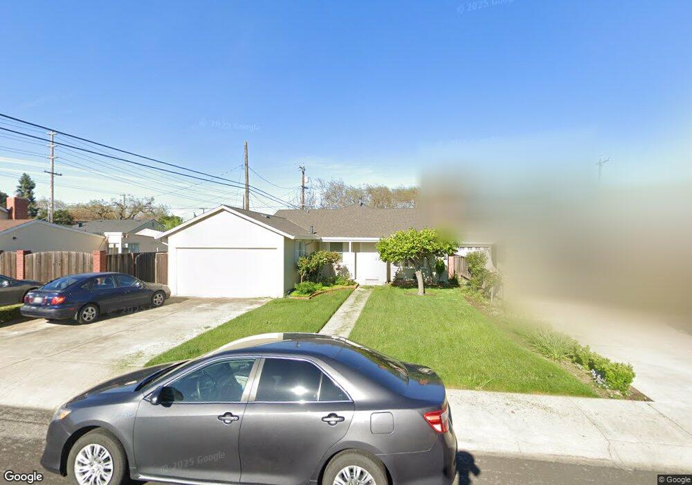
1148 Block Dr Santa Clara, CA 95050
Estimated Value: $1,702,000 - $2,040,000
3
Beds
2
Baths
1,036
Sq Ft
$1,772/Sq Ft
Est. Value
About This Home
This home is located at 1148 Block Dr, Santa Clara, CA 95050 and is currently estimated at $1,836,028, approximately $1,772 per square foot. 1148 Block Dr is a home located in Santa Clara County with nearby schools including C. W. Haman Elementary School, Buchser Middle School, and Santa Clara High School.
Ownership History
Date
Name
Owned For
Owner Type
Purchase Details
Closed on
Dec 23, 2014
Sold by
Dias Ferreira Aurelio
Bought by
Dias Ferreira Aurelio
Current Estimated Value
Purchase Details
Closed on
Aug 22, 2014
Sold by
Dias Ferreira Aurelio
Bought by
Dias Ferreira Aurelio and Aurelio Dias Ferreira Revocable Trust
Purchase Details
Closed on
Jan 21, 2000
Sold by
Carey Stanley W
Bought by
Dias Ferreira Aurelio and Dias Ferreira Carlos Alberto
Home Financials for this Owner
Home Financials are based on the most recent Mortgage that was taken out on this home.
Original Mortgage
$336,000
Outstanding Balance
$106,033
Interest Rate
7.75%
Estimated Equity
$1,729,995
Purchase Details
Closed on
Jan 17, 2000
Sold by
William Carey
Bought by
Carey Stanley W
Home Financials for this Owner
Home Financials are based on the most recent Mortgage that was taken out on this home.
Original Mortgage
$336,000
Outstanding Balance
$106,033
Interest Rate
7.75%
Estimated Equity
$1,729,995
Create a Home Valuation Report for This Property
The Home Valuation Report is an in-depth analysis detailing your home's value as well as a comparison with similar homes in the area
Home Values in the Area
Average Home Value in this Area
Purchase History
| Date | Buyer | Sale Price | Title Company |
|---|---|---|---|
| Dias Ferreira Aurelio | -- | None Available | |
| Dias Ferreira Aurelio | -- | None Available | |
| Dias Ferreira Aurelio | $460,000 | Chicago Title Co | |
| Carey Stanley W | -- | Chicago Title Co |
Source: Public Records
Mortgage History
| Date | Status | Borrower | Loan Amount |
|---|---|---|---|
| Open | Dias Ferreira Aurelio | $336,000 |
Source: Public Records
Tax History
| Year | Tax Paid | Tax Assessment Tax Assessment Total Assessment is a certain percentage of the fair market value that is determined by local assessors to be the total taxable value of land and additions on the property. | Land | Improvement |
|---|---|---|---|---|
| 2025 | $8,780 | $758,478 | $622,472 | $136,006 |
| 2024 | $8,780 | $743,607 | $610,267 | $133,340 |
| 2023 | $8,692 | $729,027 | $598,301 | $130,726 |
| 2022 | $8,548 | $714,733 | $586,570 | $128,163 |
| 2021 | $8,514 | $700,719 | $575,069 | $125,650 |
| 2020 | $8,359 | $693,535 | $569,173 | $124,362 |
| 2019 | $8,349 | $679,937 | $558,013 | $121,924 |
| 2018 | $7,814 | $666,606 | $547,072 | $119,534 |
| 2017 | $7,775 | $653,537 | $536,346 | $117,191 |
| 2016 | $7,623 | $640,724 | $525,830 | $114,894 |
| 2015 | $7,513 | $631,101 | $517,932 | $113,169 |
| 2014 | $7,136 | $618,740 | $507,787 | $110,953 |
Source: Public Records
Map
Nearby Homes
- 927 Madeline Ln
- 1031 Las Palmas Dr
- 2475 Karen Dr
- 1226 Chapel Dr
- 817 Lippert Place
- 809 Lippert Place
- 1270 Pierce St
- 1256 Pierce St
- 1469 Isabella St
- 1753 Laine Ave
- 1745 Hillebrant Place
- 1400 Bowe Ave Unit 1404
- 1400 Bowe Ave Unit 1702
- 1400 Bowe Ave Unit 1106
- 1700 Civic Center Dr Unit 314
- 1700 Civic Center Dr Unit 214
- 1700 Civic Center Dr Unit 209
- 619 Robin Dr
- 1846 Los Padres Blvd
- 680 N Winchester Blvd
- 1156 Block Dr
- 1136 Block Dr
- 2281 Benton St
- 1168 Block Dr
- 1145 Los Padres Blvd
- 2293 Benton St
- 1155 Los Padres Blvd
- 1157 Block Dr
- 1165 Los Padres Blvd
- 1137 Block Dr
- 1176 Block Dr
- 1125 Los Padres Blvd
- 2268 Laurel Dr
- 1175 Los Padres Blvd
- 2253 Benton St
- 1188 Block Dr
- 1187 Block Dr
- 2254 Laurel Dr
- 1185 Los Padres Blvd
- 2247 Benton St
Your Personal Tour Guide
Ask me questions while you tour the home.