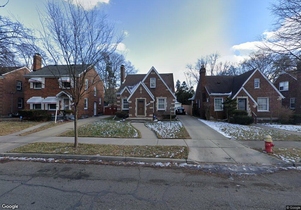
11484 Lansdowne St Detroit, MI 48224
Denby NeighborhoodEstimated Value: $78,000 - $94,934
3
Beds
1
Bath
1,008
Sq Ft
$88/Sq Ft
Est. Value
About This Home
This home is located at 11484 Lansdowne St, Detroit, MI 48224 and is currently estimated at $88,984, approximately $88 per square foot. 11484 Lansdowne St is a home located in Wayne County with nearby schools including Edward 'Duke' Ellington Conservatory of Music and Art, Charles L. Spain Elementary-Middle School, and Denby High School.
Ownership History
Date
Name
Owned For
Owner Type
Purchase Details
Closed on
Oct 25, 2011
Sold by
Fannie Mae
Bought by
Peoples Sheyvonne
Current Estimated Value
Purchase Details
Closed on
Dec 2, 2010
Sold by
Wells Fargo Bank Na
Bought by
Federal National Mortgage Association
Purchase Details
Closed on
Dec 1, 2010
Sold by
Chope Patricia C and Chope Bruce D
Bought by
Wells Fargo Bank Na
Create a Home Valuation Report for This Property
The Home Valuation Report is an in-depth analysis detailing your home's value as well as a comparison with similar homes in the area
Home Values in the Area
Average Home Value in this Area
Purchase History
| Date | Buyer | Sale Price | Title Company |
|---|---|---|---|
| Peoples Sheyvonne | $15,003 | Attorneys Title Agency Llc | |
| Federal National Mortgage Association | -- | None Available | |
| Wells Fargo Bank Na | $100,187 | None Available |
Source: Public Records
Tax History Compared to Growth
Tax History
| Year | Tax Paid | Tax Assessment Tax Assessment Total Assessment is a certain percentage of the fair market value that is determined by local assessors to be the total taxable value of land and additions on the property. | Land | Improvement |
|---|---|---|---|---|
| 2025 | $125 | $42,300 | $0 | $0 |
| 2024 | $125 | $39,200 | $0 | $0 |
| 2023 | $240 | $31,600 | $0 | $0 |
| 2022 | $1,190 | $25,400 | $0 | $0 |
| 2021 | $120 | $0 | $0 | $0 |
| 2020 | $120 | $0 | $0 | $0 |
| 2019 | $120 | $16,700 | $0 | $0 |
| 2018 | $120 | $14,800 | $0 | $0 |
| 2017 | $1,081 | $14,000 | $0 | $0 |
| 2016 | $1,252 | $16,800 | $0 | $0 |
| 2015 | $1,680 | $16,800 | $0 | $0 |
| 2013 | $2,332 | $23,318 | $0 | $0 |
| 2010 | -- | $34,188 | $1,355 | $32,833 |
Source: Public Records
Map
Nearby Homes
- 11320 Wayburn St
- 11583 Whitehill St
- 11059 Lakepointe St
- 11110 Wayburn St
- 11521 Whitehill St
- 11676 Laing St
- 11010 Rossiter St
- 11632 Laing St
- 11382 Rossiter St
- 10947 Roxbury St
- 11528 Wayburn St
- 10897 Lakepointe St
- 11009 Roxbury St
- 11381 Whitehill St
- 11540 Wayburn St
- 11365 Whitehill St
- 11772 Duchess St
- 11845 Laing St
- 10811 Roxbury St
- 11608 Duchess St
- 11472 Lansdowne St
- 11490 Lansdowne St
- 11283 Wayburn St
- 11468 Lansdowne St
- 11500 Lansdowne St
- 11275 Wayburn St
- 11458 Lansdowne St
- 11508 Lansdowne St
- 11307 Wayburn St
- 11291 Wayburn St
- 11450 Lansdowne St
- 11267 Wayburn St
- 11447 Grayton St
- 11483 Lansdowne St
- 11259 Wayburn St
- 11491 Lansdowne St
- 11475 Lansdowne St
- 11442 Lansdowne St
- 11497 Lansdowne St
- 11467 Lansdowne St