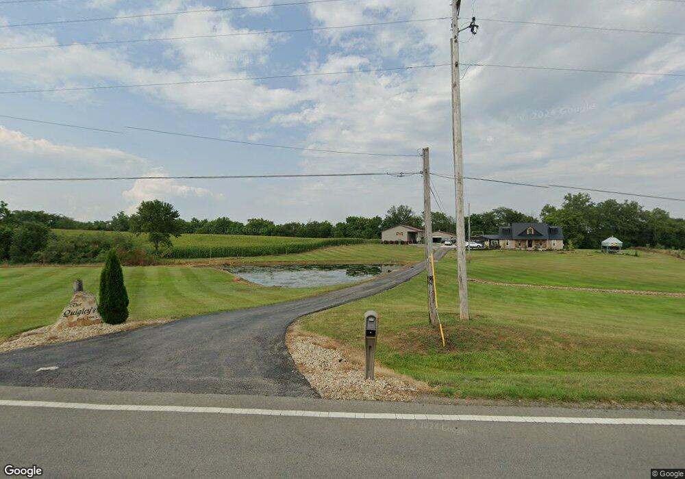
11485 State Route 28 Leesburg, OH 45135
Estimated Value: $204,000 - $348,000
2
Beds
2
Baths
1,620
Sq Ft
$186/Sq Ft
Est. Value
About This Home
This home is located at 11485 State Route 28, Leesburg, OH 45135 and is currently estimated at $300,932, approximately $185 per square foot. 11485 State Route 28 is a home located in Highland County with nearby schools including McClain High School.
Ownership History
Date
Name
Owned For
Owner Type
Purchase Details
Closed on
Jul 8, 2011
Sold by
Quigley Richard M and Quigley Erin B
Bought by
Quigley Richard M and Quigley Erin B
Current Estimated Value
Home Financials for this Owner
Home Financials are based on the most recent Mortgage that was taken out on this home.
Original Mortgage
$89,000
Outstanding Balance
$6,362
Interest Rate
3.75%
Mortgage Type
New Conventional
Estimated Equity
$294,570
Purchase Details
Closed on
Jan 1, 1990
Bought by
Deatley Herb and Deatley Phyllis
Create a Home Valuation Report for This Property
The Home Valuation Report is an in-depth analysis detailing your home's value as well as a comparison with similar homes in the area
Home Values in the Area
Average Home Value in this Area
Purchase History
| Date | Buyer | Sale Price | Title Company |
|---|---|---|---|
| Quigley Richard M | -- | Technetitle Agency | |
| Deatley Herb | -- | -- |
Source: Public Records
Mortgage History
| Date | Status | Borrower | Loan Amount |
|---|---|---|---|
| Open | Quigley Richard M | $89,000 |
Source: Public Records
Tax History Compared to Growth
Tax History
| Year | Tax Paid | Tax Assessment Tax Assessment Total Assessment is a certain percentage of the fair market value that is determined by local assessors to be the total taxable value of land and additions on the property. | Land | Improvement |
|---|---|---|---|---|
| 2024 | $2,883 | $95,660 | $16,490 | $79,170 |
| 2023 | $2,633 | $78,930 | $13,620 | $65,310 |
| 2022 | $2,641 | $78,930 | $13,620 | $65,310 |
| 2021 | $2,509 | $78,930 | $13,620 | $65,310 |
| 2020 | $2,245 | $68,640 | $11,830 | $56,810 |
| 2019 | $2,280 | $68,640 | $11,830 | $56,810 |
| 2018 | $2,022 | $68,640 | $11,830 | $56,810 |
| 2017 | $1,939 | $57,510 | $11,690 | $45,820 |
| 2016 | $1,942 | $57,510 | $11,690 | $45,820 |
| 2015 | $1,750 | $49,950 | $11,690 | $38,260 |
| 2014 | $1,840 | $49,950 | $11,690 | $38,260 |
| 2013 | $1,844 | $49,950 | $11,690 | $38,260 |
Source: Public Records
Map
Nearby Homes
- 7310 Limes Rd
- 6635 Limes Rd
- 10491 Pausch Rd
- 229 Fishback Rd
- 9892 Washington New Martinsburg Rd
- 10330 Pausch Rd
- 8824 Washington New Martinsburg Rd
- 631 Ghormley Rd Unit SE
- 1773 York Rd
- 961 Mirabeau St
- 0 Stafford Rd Unit 225016445
- 417 E Main St
- 901 South St
- 808 Jefferson St
- 839 South St
- 739 Lafayette St
- 921 Blaine St
- 814 South St
- 204 Miller St
- 0 Lafayette St
- 11559 State Route 28
- 11415 Ohio 28
- 11415 State Route 28
- 11415 St Rt 28
- 11590 State Route 28
- 11636 State Route 28
- 11339 State Route 28
- 12535 Dunn Rd
- 11285 State Route 28
- 11732 State Route 28
- 12349 Dunn Rd
- 12349 Dunn Rd
- 12359 Dunn Rd
- 12359 Dunn Rd
- 12730 Mcconnell Rd
- 12343 Dunn Rd
- 0 Mcconnel Rd
- 11227 State Route 28
- 11225 State Route 28
- 12301 Dunn Rd