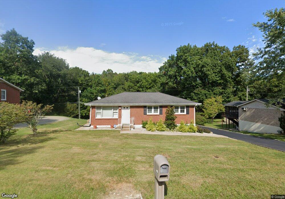
115 Alsup Dr Springfield, TN 37172
Estimated Value: $213,000 - $242,213
2
Beds
2
Baths
1,050
Sq Ft
$222/Sq Ft
Est. Value
About This Home
This home is located at 115 Alsup Dr, Springfield, TN 37172 and is currently estimated at $232,803, approximately $221 per square foot. 115 Alsup Dr is a home located in Robertson County with nearby schools including Westside Elementary School, Cheatham Park Elementary School, and Jo Byrns High School.
Ownership History
Date
Name
Owned For
Owner Type
Purchase Details
Closed on
Dec 27, 2018
Sold by
Hooper John
Bought by
Leding Properties Llc
Current Estimated Value
Purchase Details
Closed on
Feb 26, 2010
Sold by
Hooper Judith L Browning
Bought by
Hooper John
Purchase Details
Closed on
Apr 9, 1993
Bought by
Hooper Judith L Browning Browning L
Purchase Details
Closed on
Aug 5, 1964
Bought by
Browning John E and Browning Dorot
Create a Home Valuation Report for This Property
The Home Valuation Report is an in-depth analysis detailing your home's value as well as a comparison with similar homes in the area
Home Values in the Area
Average Home Value in this Area
Purchase History
| Date | Buyer | Sale Price | Title Company |
|---|---|---|---|
| Leding Properties Llc | $100,000 | None Available | |
| Hooper John | $90,000 | -- | |
| Hooper Judith L Browning Browning L | $20,000 | -- | |
| Browning John E | -- | -- |
Source: Public Records
Tax History
| Year | Tax Paid | Tax Assessment Tax Assessment Total Assessment is a certain percentage of the fair market value that is determined by local assessors to be the total taxable value of land and additions on the property. | Land | Improvement |
|---|---|---|---|---|
| 2025 | -- | $60,325 | $22,500 | $37,825 |
| 2024 | -- | $60,325 | $22,500 | $37,825 |
| 2023 | $1,511 | $60,325 | $22,500 | $37,825 |
| 2022 | $888 | $24,350 | $5,500 | $18,850 |
| 2021 | $888 | $24,350 | $5,500 | $18,850 |
| 2020 | $888 | $24,350 | $5,500 | $18,850 |
| 2019 | $26,727 | $24,350 | $5,500 | $18,850 |
| 2018 | $888 | $24,350 | $5,500 | $18,850 |
| 2017 | $892 | $20,825 | $4,725 | $16,100 |
| 2016 | $892 | $20,825 | $4,725 | $16,100 |
| 2015 | $866 | $20,825 | $4,725 | $16,100 |
| 2014 | $866 | $20,825 | $4,725 | $16,100 |
Source: Public Records
Map
Nearby Homes
- 244 Green Hills Dr
- 7373 New Chapel Rd
- 610 5th Ave W
- 409 7th Ave W
- 1024 Richard St
- 702 Richard St
- 506 15th Ave W
- 2130 Bessie St
- 1 Bessie St
- 0 Bessie St
- 603 Crestview Dr
- 113 11th Ave W
- 5148 Highway 49 W
- 409 N Oak St
- 325 N Walnut St
- 509 3rd Ave W
- 311 Walnut St
- 588 19th Ave W
- 1205 S Main St
- 307 Walnut St
Your Personal Tour Guide
Ask me questions while you tour the home.