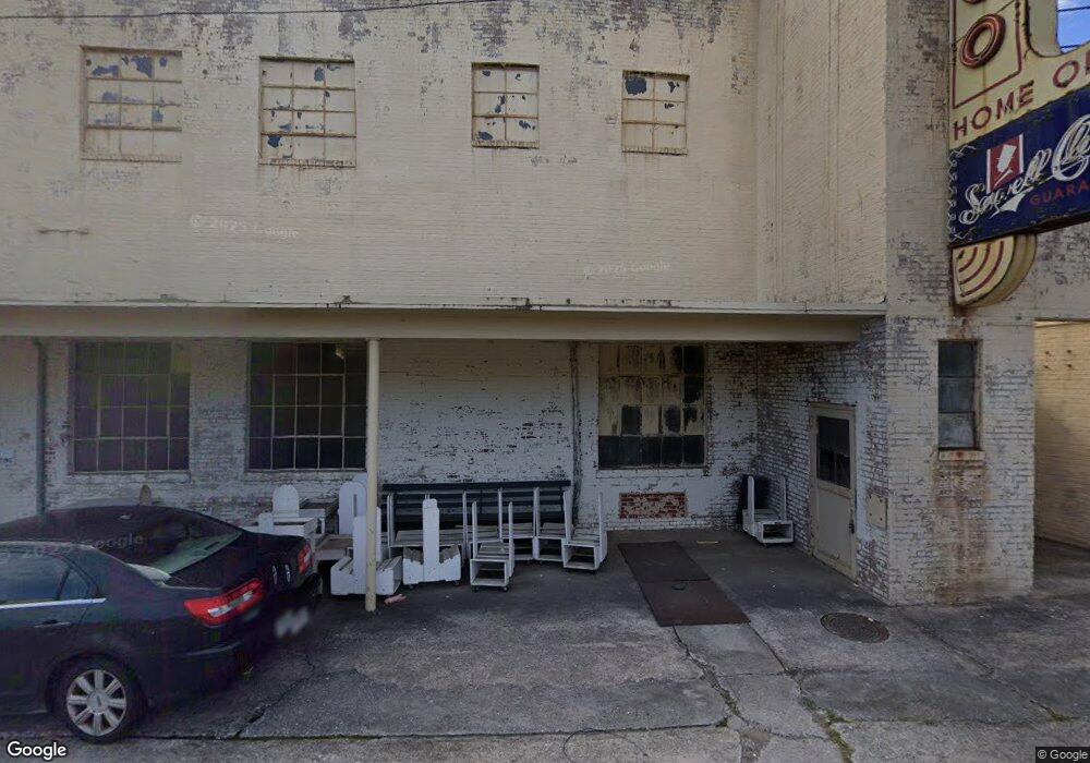
115 Atlantic Ave Bremen, GA 30110
--
Bed
--
Bath
52,600
Sq Ft
2.12
Acres
About This Home
This home is located at 115 Atlantic Ave, Bremen, GA 30110. 115 Atlantic Ave is a home located in Haralson County with nearby schools including Jones Elementary School, Bremen 4th & 5th Grade Academy, and Bremen Middle School.
Ownership History
Date
Name
Owned For
Owner Type
Purchase Details
Closed on
Apr 4, 2019
Sold by
Nwe16 Llc
Bought by
Big Horn Holdings Llc
Home Financials for this Owner
Home Financials are based on the most recent Mortgage that was taken out on this home.
Original Mortgage
$285,000
Interest Rate
4.4%
Mortgage Type
Commercial
Purchase Details
Closed on
Nov 3, 2015
Sold by
Loftin B O
Bought by
Nwe16 Llc
Purchase Details
Closed on
May 9, 2006
Sold by
Sewell Clothing Co Inc
Bought by
Loftin B O
Purchase Details
Closed on
Mar 28, 1997
Sold by
Sewell Mfg Co
Bought by
Sewell Clothing Co
Create a Home Valuation Report for This Property
The Home Valuation Report is an in-depth analysis detailing your home's value as well as a comparison with similar homes in the area
Home Values in the Area
Average Home Value in this Area
Purchase History
| Date | Buyer | Sale Price | Title Company |
|---|---|---|---|
| Big Horn Holdings Llc | $138,000 | -- | |
| Nwe16 Llc | $200,000 | -- | |
| Loftin B O | -- | -- | |
| Sewell Clothing Co | -- | -- |
Source: Public Records
Mortgage History
| Date | Status | Borrower | Loan Amount |
|---|---|---|---|
| Closed | Big Horn Holdings Llc | $285,000 |
Source: Public Records
Tax History Compared to Growth
Tax History
| Year | Tax Paid | Tax Assessment Tax Assessment Total Assessment is a certain percentage of the fair market value that is determined by local assessors to be the total taxable value of land and additions on the property. | Land | Improvement |
|---|---|---|---|---|
| 2024 | $5,932 | $211,245 | $22,048 | $189,197 |
| 2023 | $6,232 | $207,320 | $20,600 | $186,720 |
| 2022 | $1,999 | $207,320 | $20,600 | $186,720 |
| 2021 | $2,094 | $207,320 | $20,600 | $186,720 |
| 2020 | $2,105 | $207,320 | $20,600 | $186,720 |
| 2019 | $2,188 | $208,382 | $20,600 | $187,782 |
| 2018 | $2,217 | $208,382 | $20,600 | $187,782 |
| 2017 | $2,471 | $208,685 | $20,550 | $188,135 |
| 2016 | $2,601 | $209,393 | $20,550 | $188,843 |
| 2015 | $2,622 | $210,296 | $21,100 | $189,197 |
| 2014 | $2,817 | $211,004 | $21,100 | $189,904 |
Source: Public Records
Map
Nearby Homes
- 4000 Highway 78
- 4711 Highway 78 Unit 235
- 4711 Highway 78
- 223 Gordon St
- 422 Oak St
- 201 Georgia Ave S
- 111 Bryan St W
- 208 Georgia Ave S
- 225 Edwards St
- 0 Sewell Rd Unit 10624236
- 0 Sewell Rd Unit 7665305
- 107 Marchman St
- 522 Atlantic Ave
- 6315 Highway 78
- 311 Kensington Cir
- 330 Kensington Cir
- 417 Georgia Ave N
- 626 Georgia Ave S
- 103 Pacific Ave
- 101 Atlantic Ave
- 80 Oak St
- 201 Oak St
- 201 Oak St
- 201 Oak St Unit 228
- 203 Oak St
- 203 Oak St Unit 228
- 114 Buchanan St
- 190 Chestnut St
- 131 Buchanan St N
- 198 Chestnut St
- 130 Buchanan St
- 216 Tallapoosa St E
- 192 Chestnut St
- 196 Chestnut St
- 184 Chestnut St
- 186 Chestnut St
- 106 Atlantic Ave
- 182 Chestnut St