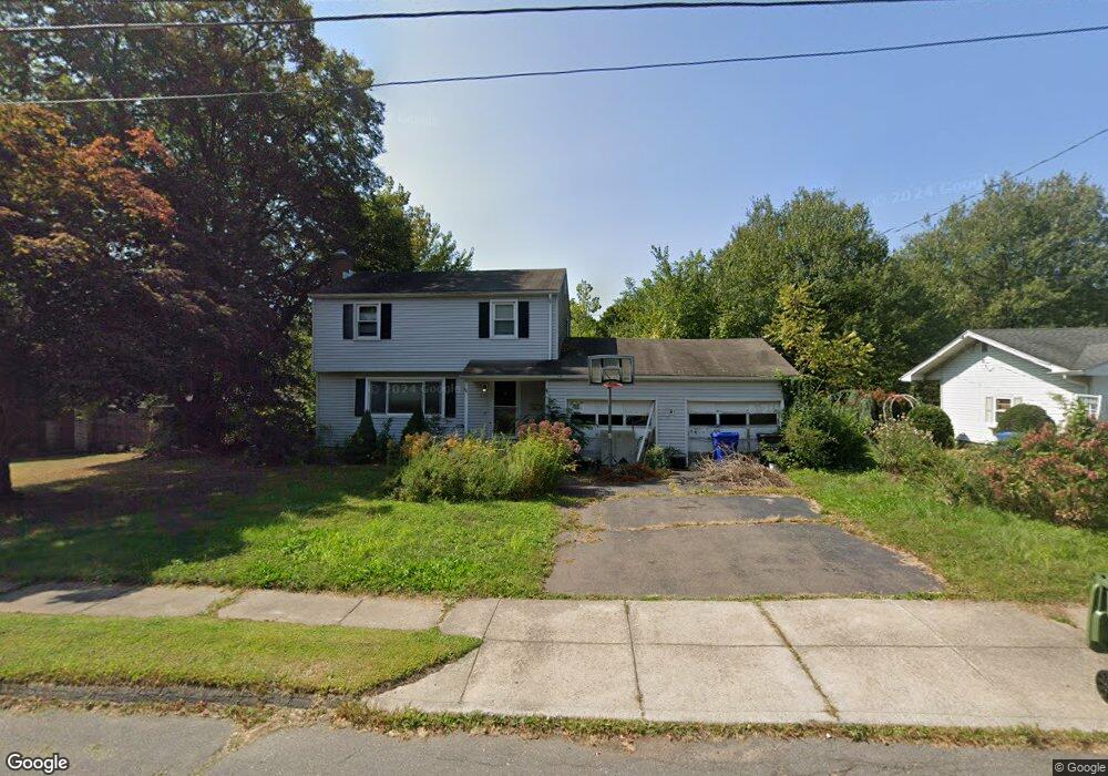
115 Azalea Dr Middletown, CT 06457
Westfield NeighborhoodEstimated Value: $354,000 - $415,000
3
Beds
2
Baths
1,479
Sq Ft
$263/Sq Ft
Est. Value
About This Home
This home is located at 115 Azalea Dr, Middletown, CT 06457 and is currently estimated at $389,377, approximately $263 per square foot. 115 Azalea Dr is a home located in Middlesex County with nearby schools including Spencer School, Middletown High School, and St John Paul II School.
Ownership History
Date
Name
Owned For
Owner Type
Purchase Details
Closed on
Dec 14, 2017
Sold by
Clark Jacqueline B
Bought by
Clark Jeffrey C
Current Estimated Value
Purchase Details
Closed on
May 21, 1998
Sold by
Petrucelli Jamie M and Petrucelli Karen L
Bought by
Clark Jeffrey C and Clark Jacqueline B
Purchase Details
Closed on
Aug 19, 1992
Sold by
Gray Donald M and Gray Shirley M
Bought by
Denis Karen L and Petrucelli Janice M
Create a Home Valuation Report for This Property
The Home Valuation Report is an in-depth analysis detailing your home's value as well as a comparison with similar homes in the area
Home Values in the Area
Average Home Value in this Area
Purchase History
| Date | Buyer | Sale Price | Title Company |
|---|---|---|---|
| Clark Jeffrey C | -- | -- | |
| Clark Jeffrey C | $134,000 | -- | |
| Denis Karen L | $149,500 | -- |
Source: Public Records
Mortgage History
| Date | Status | Borrower | Loan Amount |
|---|---|---|---|
| Open | Denis Karen L | $174,000 | |
| Previous Owner | Denis Karen L | $0 | |
| Previous Owner | Denis Karen L | $212,000 | |
| Previous Owner | Denis Karen L | $178,000 |
Source: Public Records
Tax History
| Year | Tax Paid | Tax Assessment Tax Assessment Total Assessment is a certain percentage of the fair market value that is determined by local assessors to be the total taxable value of land and additions on the property. | Land | Improvement |
|---|---|---|---|---|
| 2025 | $8,304 | $213,460 | $82,290 | $131,170 |
| 2024 | $7,855 | $213,460 | $82,290 | $131,170 |
| 2023 | $7,492 | $213,460 | $82,290 | $131,170 |
| 2022 | $7,027 | $159,700 | $54,850 | $104,850 |
| 2021 | $7,027 | $159,700 | $54,850 | $104,850 |
| 2020 | $7,059 | $159,700 | $54,850 | $104,850 |
| 2019 | $7,091 | $159,700 | $54,850 | $104,850 |
| 2018 | $6,979 | $159,700 | $54,850 | $104,850 |
| 2017 | $7,094 | $167,300 | $60,760 | $106,540 |
| 2016 | $6,893 | $167,300 | $60,760 | $106,540 |
| 2015 | $6,625 | $167,300 | $60,760 | $106,540 |
| 2014 | $6,692 | $167,300 | $60,760 | $106,540 |
Source: Public Records
Map
Nearby Homes
- 94 Cynthia Ln Unit A6
- 145 Webster Ln Unit 2-41
- 137 Webster Ln Unit 2-42
- 123 Webster Ln
- 128 Webster Ln
- 60 Sonoma Ln
- 565 Newfield St Unit 34
- 82 Westfield Terrace
- 194 Camp St
- 5 Nathan Hale Rd
- 3 Nathan Hale Rd
- 4 Nathan Hale Rd
- 1 Nathan Hale Rd
- 8 Nathan Hale Rd
- 886 East St
- 153 Country Club Rd
- 7 W Meadow Ln Unit 5
- 34 Inverness Ln
- 27 Barbara Rd
- 14 Forest Glen Cir Unit 10
Your Personal Tour Guide
Ask me questions while you tour the home.