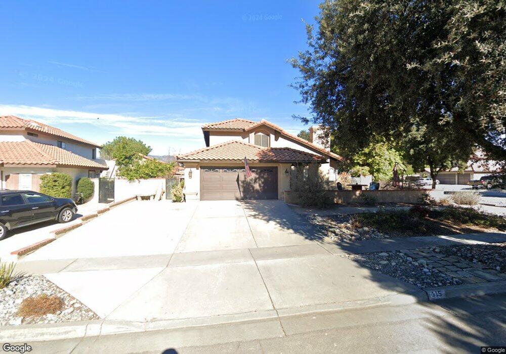
115 Beattie Ln Redlands, CA 92374
North Redlands NeighborhoodEstimated Value: $614,538 - $695,000
4
Beds
3
Baths
1,924
Sq Ft
$339/Sq Ft
Est. Value
About This Home
This home is located at 115 Beattie Ln, Redlands, CA 92374 and is currently estimated at $652,635, approximately $339 per square foot. 115 Beattie Ln is a home located in San Bernardino County with nearby schools including Lugonia Elementary School, Clement Middle School, and Citrus Valley High School.
Ownership History
Date
Name
Owned For
Owner Type
Purchase Details
Closed on
Aug 29, 2011
Sold by
Morrison Nicholl Kimberle Sue and Morrison Nicholl Scott
Bought by
Nicholl Scott M and Nicholl Kimberle S K
Current Estimated Value
Purchase Details
Closed on
Dec 6, 2010
Sold by
Nicholl Scott Morrison and Nicholl Kimberle Sue
Bought by
Morrison Nicholl Kimberle Sue and Morrison Nicholl Scott
Home Financials for this Owner
Home Financials are based on the most recent Mortgage that was taken out on this home.
Original Mortgage
$102,000
Interest Rate
4.21%
Mortgage Type
New Conventional
Create a Home Valuation Report for This Property
The Home Valuation Report is an in-depth analysis detailing your home's value as well as a comparison with similar homes in the area
Home Values in the Area
Average Home Value in this Area
Purchase History
| Date | Buyer | Sale Price | Title Company |
|---|---|---|---|
| Nicholl Scott M | -- | None Available | |
| Morrison Nicholl Kimberle Sue | -- | Landwood Title Company |
Source: Public Records
Mortgage History
| Date | Status | Borrower | Loan Amount |
|---|---|---|---|
| Closed | Morrison Nicholl Kimberle Sue | $102,000 |
Source: Public Records
Tax History Compared to Growth
Tax History
| Year | Tax Paid | Tax Assessment Tax Assessment Total Assessment is a certain percentage of the fair market value that is determined by local assessors to be the total taxable value of land and additions on the property. | Land | Improvement |
|---|---|---|---|---|
| 2025 | $3,056 | $261,387 | $69,350 | $192,037 |
| 2024 | $3,056 | $256,262 | $67,990 | $188,272 |
| 2023 | $3,052 | $251,237 | $66,657 | $184,580 |
| 2022 | $3,008 | $246,311 | $65,350 | $180,961 |
| 2021 | $3,063 | $241,482 | $64,069 | $177,413 |
| 2020 | $2,931 | $239,006 | $63,412 | $175,594 |
| 2019 | $2,848 | $234,320 | $62,169 | $172,151 |
| 2018 | $2,775 | $229,725 | $60,950 | $168,775 |
| 2017 | $2,750 | $225,221 | $59,755 | $165,466 |
| 2016 | $2,718 | $220,805 | $58,583 | $162,222 |
| 2015 | $2,697 | $217,488 | $57,703 | $159,785 |
| 2014 | $2,647 | $213,228 | $56,573 | $156,655 |
Source: Public Records
Map
Nearby Homes
- 140 W Pioneer Ave Unit 93
- 140 W Pioneer Ave Unit 76
- 1808 Cave St
- 102 E Pioneer Ave
- 1734 Orange St
- 325 Deodar St
- 2050 Furlow Dr
- 638 E Pioneer Ave
- 1845 Furlow Dr
- 402 Baldwin Ave
- 806 Anderson Ct
- 1602 Glover St
- 1636 Webster St
- 824 Hartzell Ave
- 1909 Crystal Cove Ct
- 1806 Madison St
- 874 Royal Knight Trail
- 1450 Washington St
- 1837 River Bend Dr
- 2036 Tangelo Ln