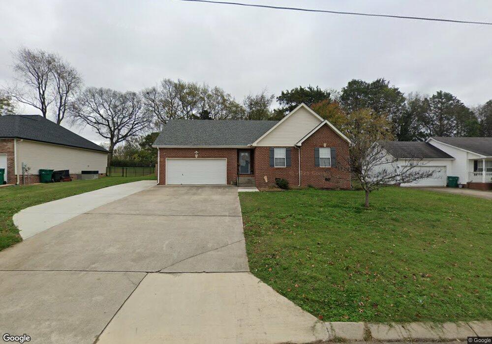
115 Brookfield Cir Winchester, TN 37398
Estimated Value: $289,000 - $414,000
--
Bed
2
Baths
1,539
Sq Ft
$211/Sq Ft
Est. Value
About This Home
This home is located at 115 Brookfield Cir, Winchester, TN 37398 and is currently estimated at $324,142, approximately $210 per square foot. 115 Brookfield Cir is a home located in Franklin County with nearby schools including South Middle School, Franklin County High School, and Winchester Christian Academy.
Ownership History
Date
Name
Owned For
Owner Type
Purchase Details
Closed on
Nov 6, 2018
Sold by
Capley Wendy M and Cowley Wendy M
Bought by
Mellons Tammy
Current Estimated Value
Purchase Details
Closed on
Nov 27, 2013
Sold by
Waldron Steve Wayne
Bought by
Cowley Wendy M
Home Financials for this Owner
Home Financials are based on the most recent Mortgage that was taken out on this home.
Original Mortgage
$79,000
Interest Rate
4.13%
Mortgage Type
Commercial
Purchase Details
Closed on
Jul 29, 1993
Bought by
Waldron Steve Wayne and Patricia Lync
Create a Home Valuation Report for This Property
The Home Valuation Report is an in-depth analysis detailing your home's value as well as a comparison with similar homes in the area
Home Values in the Area
Average Home Value in this Area
Purchase History
| Date | Buyer | Sale Price | Title Company |
|---|---|---|---|
| Mellons Tammy | -- | None Available | |
| Cowley Wendy M | $112,500 | -- | |
| Waldron Steve Wayne | -- | -- |
Source: Public Records
Mortgage History
| Date | Status | Borrower | Loan Amount |
|---|---|---|---|
| Previous Owner | Cowley Wendy M | $79,000 |
Source: Public Records
Tax History Compared to Growth
Tax History
| Year | Tax Paid | Tax Assessment Tax Assessment Total Assessment is a certain percentage of the fair market value that is determined by local assessors to be the total taxable value of land and additions on the property. | Land | Improvement |
|---|---|---|---|---|
| 2024 | $1,602 | $62,300 | $12,500 | $49,800 |
| 2023 | $1,602 | $62,300 | $12,500 | $49,800 |
| 2022 | $1,570 | $54,850 | $12,500 | $42,350 |
| 2021 | $727 | $54,850 | $12,500 | $42,350 |
| 2020 | $1,003 | $28,375 | $2,200 | $26,175 |
| 2019 | $990 | $28,375 | $2,200 | $26,175 |
| 2018 | $933 | $28,000 | $2,200 | $25,800 |
| 2017 | $933 | $28,000 | $2,200 | $25,800 |
| 2016 | $927 | $27,850 | $2,200 | $25,650 |
| 2015 | $910 | $27,850 | $2,200 | $25,650 |
| 2014 | $910 | $27,832 | $0 | $0 |
Source: Public Records
Map
Nearby Homes
- 1 Campfire Ct
- 6026 Lynchburg Rd
- 0 Driftwood Ct Unit RTC2985981
- 0 Driftwood Ct Unit RTC2819097
- 159 Canoe Ct
- 443 Canoe Ct
- 974 Lynchburg Rd
- 319 Campfire Ct
- 0 Sherry St
- 139 Sherry St
- 316 Campfire Ct
- 58 Island Way
- 50 Pontoon Place
- 65 Pontoon Place
- 0 Canoe Ct Unit RTC2695309
- 346 Campfire Ct
- 65 Campfire Ct
- 71 Windjammer Ct
- 20 Windjammer Ct
- 64 Windjammer Ct
- 131 Brookfield Cir
- 101 Brookfield Cir
- 78 Lakeland Ct
- 85 Brookfield Cir
- 145 Brookfield Cir
- 122 Brookfield Cir
- 106 Brookfield Cir
- 70 Lakeland Ct
- 94 Lakeland Ct
- 71 Brookfield Cir
- 161 Brookfield Cir
- 152 Brookfield Cir
- 44 Brookfield Cir
- 65 Brookfield Cir
- 175 Brookfield Cir
- 50 Lakeland Ct
- 445 Campfire Ct
- 166 Brookfield Cir
- 95 Lakeland Ct
- 180 Brookfield Cir