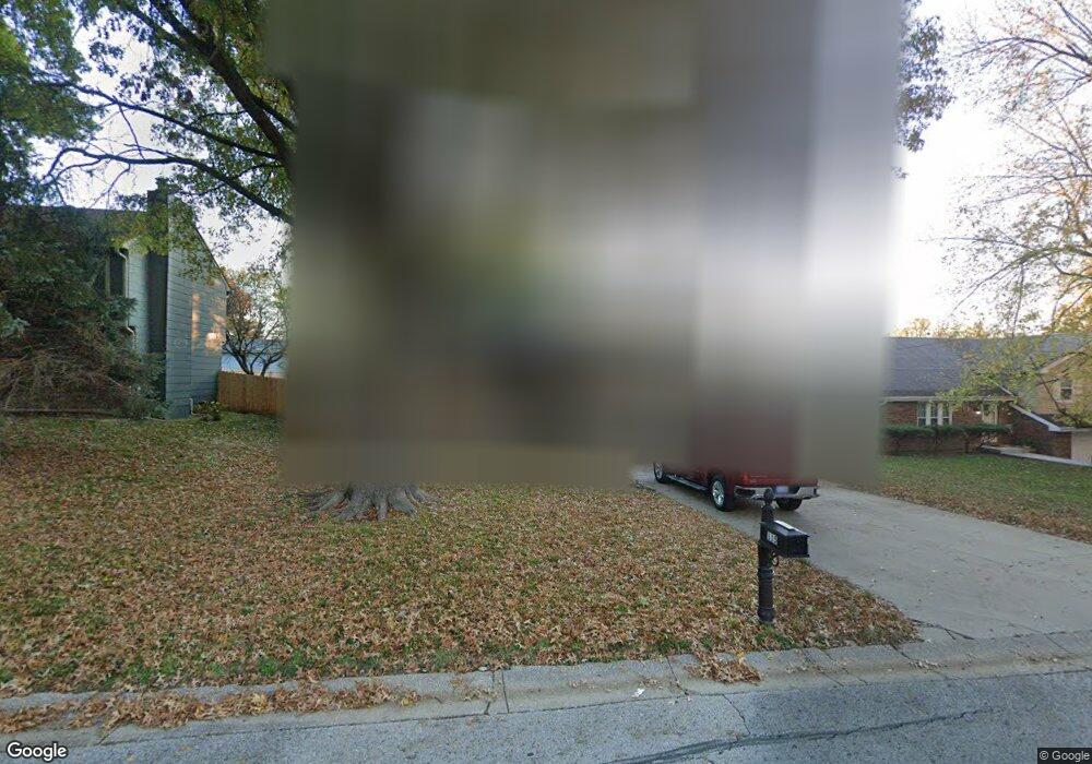
115 Brookridge St Lansing, KS 66043
Estimated Value: $286,000 - $321,000
4
Beds
3
Baths
1,354
Sq Ft
$219/Sq Ft
Est. Value
About This Home
This home is located at 115 Brookridge St, Lansing, KS 66043 and is currently estimated at $295,991, approximately $218 per square foot. 115 Brookridge St is a home located in Leavenworth County with nearby schools including Lansing Elementary School, Lansing Middle 6-8, and Lansing High 9-12.
Ownership History
Date
Name
Owned For
Owner Type
Purchase Details
Closed on
Oct 1, 2004
Bought by
Bowls Dean L and Bowls Kimberly K
Current Estimated Value
Home Financials for this Owner
Home Financials are based on the most recent Mortgage that was taken out on this home.
Original Mortgage
$174,018
Outstanding Balance
$125,832
Interest Rate
5.72%
Mortgage Type
New Conventional
Estimated Equity
$170,159
Create a Home Valuation Report for This Property
The Home Valuation Report is an in-depth analysis detailing your home's value as well as a comparison with similar homes in the area
Home Values in the Area
Average Home Value in this Area
Purchase History
| Date | Buyer | Sale Price | Title Company |
|---|---|---|---|
| Bowls Dean L | $154,900 | -- |
Source: Public Records
Mortgage History
| Date | Status | Borrower | Loan Amount |
|---|---|---|---|
| Open | Bowls Dean L | $174,018 | |
| Closed | Bowls Dean L | $184,001 |
Source: Public Records
Tax History
| Year | Tax Paid | Tax Assessment Tax Assessment Total Assessment is a certain percentage of the fair market value that is determined by local assessors to be the total taxable value of land and additions on the property. | Land | Improvement |
|---|---|---|---|---|
| 2025 | $3,980 | $30,602 | $5,173 | $25,429 |
| 2024 | $3,706 | $29,838 | $4,080 | $25,758 |
| 2023 | $3,706 | $28,690 | $4,080 | $24,610 |
| 2022 | $3,564 | $26,082 | $3,102 | $22,980 |
| 2021 | $3,179 | $22,161 | $3,102 | $19,059 |
| 2020 | $3,116 | $21,379 | $3,102 | $18,277 |
| 2019 | $3,030 | $20,769 | $3,102 | $17,667 |
| 2018 | $2,758 | $18,941 | $2,551 | $16,390 |
| 2017 | $2,635 | $18,068 | $2,551 | $15,517 |
| 2016 | $2,609 | $17,889 | $2,551 | $15,338 |
| 2015 | $2,602 | $17,889 | $2,551 | $15,338 |
| 2014 | $2,548 | $17,889 | $2,551 | $15,338 |
Source: Public Records
Map
Nearby Homes
- 20958 Ida St
- 00000 Brookwood St
- 130 Hampton Ct
- 530 Holiday Ct
- 950 Holiday Dr
- 900 Oakmont Dr
- 124 S Main St
- 202 S Main St
- 114 Emile St
- 1017 Pebble Beach Dr
- 1101 Pebble Beach Dr
- 26731 147th St
- 134 Debra St
- 218 E Kay St
- 1102 N Main St
- Lot 2 Eisenhower Rd
- 4 Eisenhower Rd
- 1100 N 4th St
- 1102 N 4th St
- 728 Eisenhower Rd
- 117 Brookridge St
- 113 Brookridge St
- 208 Bittersweet Ln
- 200 Bittersweet Ln
- 119 Brookridge St
- 111 Brookridge St
- 114 Brookridge St
- 132 Bittersweet Ln
- 112 Brookridge St
- 121 Brookridge St
- 224 Bittersweet Ln
- 109 Brookridge St
- 102 Gilbert St
- 103 Ferncliff St
- 232 Bittersweet Ln
- 123 Brookridge St
- 116 Bittersweet Ln
- 524 Oakbrook Dr
- 107 Brookridge St
- 101 Daisy St
Your Personal Tour Guide
Ask me questions while you tour the home.