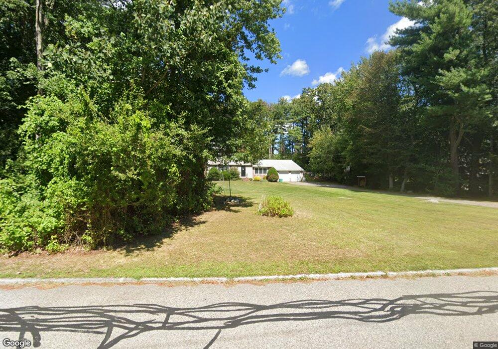
115 Cedarwood Rd Hanover, MA 02339
Estimated Value: $847,649 - $950,000
4
Beds
2
Baths
2,052
Sq Ft
$427/Sq Ft
Est. Value
About This Home
This home is located at 115 Cedarwood Rd, Hanover, MA 02339 and is currently estimated at $876,162, approximately $426 per square foot. 115 Cedarwood Rd is a home located in Plymouth County with nearby schools including Hanover High School, South Shore Charter Public School, and Norwell KinderCare.
Ownership History
Date
Name
Owned For
Owner Type
Purchase Details
Closed on
May 21, 2010
Sold by
Faghan Michael and Fopiano Carin
Bought by
Blomberg Patrick L and Blomberg Meghan
Current Estimated Value
Home Financials for this Owner
Home Financials are based on the most recent Mortgage that was taken out on this home.
Original Mortgage
$363,298
Outstanding Balance
$240,405
Interest Rate
4.87%
Mortgage Type
FHA
Estimated Equity
$635,757
Purchase Details
Closed on
May 2, 2005
Sold by
Faghan Robert and Faghan Michael
Bought by
Faghan Michael and Fopiano Carin
Home Financials for this Owner
Home Financials are based on the most recent Mortgage that was taken out on this home.
Original Mortgage
$367,000
Interest Rate
5.95%
Mortgage Type
Purchase Money Mortgage
Create a Home Valuation Report for This Property
The Home Valuation Report is an in-depth analysis detailing your home's value as well as a comparison with similar homes in the area
Home Values in the Area
Average Home Value in this Area
Purchase History
| Date | Buyer | Sale Price | Title Company |
|---|---|---|---|
| Blomberg Patrick L | $370,000 | -- | |
| Faghan Michael | -- | -- |
Source: Public Records
Mortgage History
| Date | Status | Borrower | Loan Amount |
|---|---|---|---|
| Open | Blomberg Patrick L | $363,298 | |
| Previous Owner | Faghan Michael | $80,000 | |
| Previous Owner | Faghan Michael | $40,000 | |
| Previous Owner | Faghan Michael | $367,000 | |
| Previous Owner | Faghan Michael | $25,000 |
Source: Public Records
Tax History Compared to Growth
Tax History
| Year | Tax Paid | Tax Assessment Tax Assessment Total Assessment is a certain percentage of the fair market value that is determined by local assessors to be the total taxable value of land and additions on the property. | Land | Improvement |
|---|---|---|---|---|
| 2025 | $9,188 | $744,000 | $335,900 | $408,100 |
| 2024 | $9,042 | $704,200 | $335,900 | $368,300 |
| 2023 | $8,573 | $635,500 | $305,600 | $329,900 |
| 2022 | $8,322 | $545,700 | $254,700 | $291,000 |
| 2021 | $8,207 | $502,600 | $231,600 | $271,000 |
| 2020 | $9,145 | $490,500 | $231,600 | $258,900 |
| 2019 | $7,772 | $473,600 | $231,600 | $242,000 |
| 2018 | $7,316 | $449,400 | $231,600 | $217,800 |
| 2017 | $7,115 | $430,700 | $237,000 | $193,700 |
| 2016 | $6,823 | $404,700 | $215,400 | $189,300 |
| 2015 | $6,827 | $422,700 | $235,000 | $187,700 |
Source: Public Records
Map
Nearby Homes
- 1239 Main St
- 70 Dillingham Way
- 375 Webster St
- 118 Bates Way
- 80 Coolidge Rd
- 120 Deerfield Ln
- 3 Blueberry Ct
- 216 Whiting St
- 276 Woodland Dr
- 214 Washington St Unit 24
- 214 Washington St Unit 28
- 18 Colby St
- 55 Turner Rd
- 53 Chestnut St
- 7 Assinippi Ave Unit 306
- 206-208 Hinghm St
- 18 Midfield Dr
- 436 E Water St
- 354 Webster St
- 114 Main St
- 103 Cedarwood Rd
- 129 Cedarwood Rd
- 20 Pumpkin Patch Way
- 91 Cedarwood Rd
- 116 Cedarwood Rd
- 85 Push Cart Ln
- 128 Cedarwood Rd
- 104 Cedarwood Rd
- 139 Cedarwood Rd
- 8 Pumpkin Patch Way
- 25 Pumpkin Patch Way
- 142 Cedarwood Rd
- 92 Cedarwood Rd
- 79 Cedarwood Rd
- 88 Push Cart Ln
- 151 Cedarwood Rd
- 80 Cedarwood Rd
- 19 Pumpkin Patch Way
- 51 Push Cart Ln
- 80 Push Cart Ln