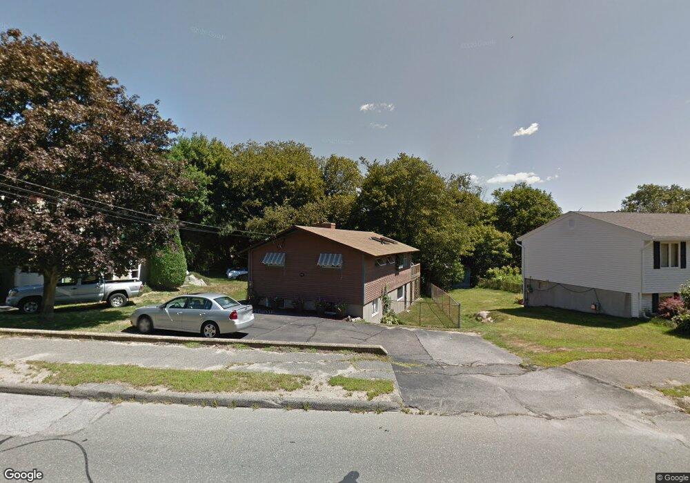
115 Cherry St Gloucester, MA 01930
Estimated Value: $541,000 - $689,000
2
Beds
2
Baths
912
Sq Ft
$651/Sq Ft
Est. Value
About This Home
This home is located at 115 Cherry St, Gloucester, MA 01930 and is currently estimated at $593,538, approximately $650 per square foot. 115 Cherry St is a home located in Essex County with nearby schools including Beeman Memorial, Ralph B O'maley Middle School, and Gloucester High School.
Ownership History
Date
Name
Owned For
Owner Type
Purchase Details
Closed on
Nov 4, 2015
Sold by
Geswell Robert J and Geswell Joan I
Bought by
Peavey Leslie S
Current Estimated Value
Purchase Details
Closed on
Sep 1, 1972
Bought by
Peavey Leslie S
Create a Home Valuation Report for This Property
The Home Valuation Report is an in-depth analysis detailing your home's value as well as a comparison with similar homes in the area
Purchase History
| Date | Buyer | Sale Price | Title Company |
|---|---|---|---|
| Peavey Leslie S | -- | -- | |
| Peavey Leslie S | -- | -- |
Source: Public Records
Mortgage History
| Date | Status | Borrower | Loan Amount |
|---|---|---|---|
| Previous Owner | Peavey Leslie S | $67,000 | |
| Previous Owner | Peavey Leslie S | $45,450 | |
| Previous Owner | Peavey Leslie S | $45,000 |
Source: Public Records
Tax History
| Year | Tax Paid | Tax Assessment Tax Assessment Total Assessment is a certain percentage of the fair market value that is determined by local assessors to be the total taxable value of land and additions on the property. | Land | Improvement |
|---|---|---|---|---|
| 2025 | $4,489 | $461,800 | $184,300 | $277,500 |
| 2024 | $4,367 | $448,800 | $175,500 | $273,300 |
| 2023 | $4,384 | $414,000 | $156,700 | $257,300 |
| 2022 | $4,156 | $354,300 | $136,300 | $218,000 |
| 2021 | $4,348 | $349,500 | $123,900 | $225,600 |
| 2020 | $4,043 | $327,900 | $123,900 | $204,000 |
| 2019 | $3,994 | $314,700 | $123,900 | $190,800 |
| 2018 | $3,928 | $303,800 | $123,900 | $179,900 |
| 2017 | $3,812 | $289,000 | $118,000 | $171,000 |
| 2016 | $3,608 | $265,100 | $123,100 | $142,000 |
| 2015 | $3,485 | $255,300 | $123,100 | $132,200 |
Source: Public Records
Map
Nearby Homes
- 3 Deacon Farm Ln
- 31 Echo Ave
- 13 Honeysuckle Rd
- 2 Breezy Point Rd
- 672 Washington St
- 13 Mystic Ave
- 8 Mystic Ave
- 98 Maplewood Ave
- 6 Monroe Ct
- 12 Arthur St
- 9 Cleveland Place
- 40 Sargent St
- 19 Trask St Unit 2
- 50 Warner St
- 113 Pleasant St
- 33 Maplewood Ave Unit 310
- 15 Harvard St
- 15 Mount Vernon St
- 167 Atlantic St
- 178 Atlantic St
Your Personal Tour Guide
Ask me questions while you tour the home.