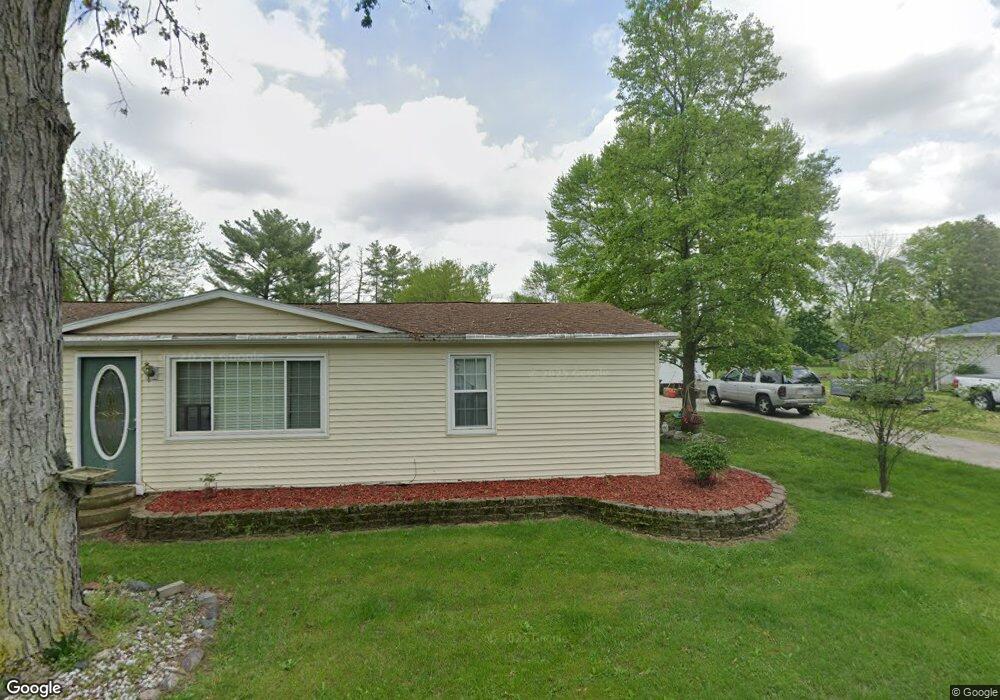
115 Chester St Napoleon, OH 43545
Estimated Value: $150,000 - $178,533
5
Beds
1
Bath
1,392
Sq Ft
$117/Sq Ft
Est. Value
About This Home
This home is located at 115 Chester St, Napoleon, OH 43545 and is currently estimated at $163,133, approximately $117 per square foot. 115 Chester St is a home located in Henry County with nearby schools including Napoleon Elementary School and Napoleon Junior/Senior High School.
Ownership History
Date
Name
Owned For
Owner Type
Purchase Details
Closed on
Jun 7, 1996
Sold by
Henry M R
Bought by
Salaz Raul R and Salaz Angela K
Current Estimated Value
Home Financials for this Owner
Home Financials are based on the most recent Mortgage that was taken out on this home.
Original Mortgage
$30,000
Interest Rate
7.97%
Mortgage Type
New Conventional
Purchase Details
Closed on
Feb 8, 1996
Sold by
Bost Brenda E
Bought by
Henry M R
Create a Home Valuation Report for This Property
The Home Valuation Report is an in-depth analysis detailing your home's value as well as a comparison with similar homes in the area
Home Values in the Area
Average Home Value in this Area
Purchase History
| Date | Buyer | Sale Price | Title Company |
|---|---|---|---|
| Salaz Raul R | $40,000 | -- | |
| Henry M R | $35,000 | -- |
Source: Public Records
Mortgage History
| Date | Status | Borrower | Loan Amount |
|---|---|---|---|
| Closed | Salaz Raul R | $30,000 |
Source: Public Records
Tax History Compared to Growth
Tax History
| Year | Tax Paid | Tax Assessment Tax Assessment Total Assessment is a certain percentage of the fair market value that is determined by local assessors to be the total taxable value of land and additions on the property. | Land | Improvement |
|---|---|---|---|---|
| 2024 | $1,943 | $45,290 | $9,390 | $35,900 |
| 2023 | $1,943 | $45,290 | $9,390 | $35,900 |
| 2022 | $2,026 | $82,640 | $10,720 | $71,920 |
| 2021 | $2,021 | $41,320 | $5,360 | $35,960 |
| 2020 | $1,992 | $41,320 | $5,360 | $35,960 |
| 2019 | $1,918 | $36,100 | $5,110 | $30,990 |
| 2018 | $1,942 | $36,100 | $5,110 | $30,990 |
| 2017 | $1,880 | $36,100 | $5,110 | $30,990 |
| 2016 | $1,812 | $33,540 | $5,110 | $28,430 |
| 2015 | $1,783 | $33,540 | $5,110 | $28,430 |
| 2014 | $1,899 | $33,540 | $5,110 | $28,430 |
| 2013 | $1,899 | $33,540 | $5,110 | $28,430 |
Source: Public Records
Map
Nearby Homes
- 212 E High St
- 405 W High St
- 16052 State Route 424
- H011 County Road 17
- 75 Capri Dr
- 43 Oak Dr
- 00 County Road 14
- 6767 Independence Rd
- 0 Westmoreland Ave
- 00 Westmoreland Ave
- 1374 Clairmont Ave
- 900 Welsted St
- 29232 Coressel Rd
- 707 Park St
- 1113 Clairmont Ave
- 1314 Clairmont Ave
- 1214 Clairmont Ave
- 1354 Clairmont Ave
- 725 Sheffield Ave
- 551 W Main St
- 111 E School St
- 117 Chester St
- 18170 Co Rd 424 (Formerly Sr 424)
- 307 E High St
- 401 E High St
- 109 E School St
- 407 E High St
- 305 E High St
- 409 E High St
- 108 E School St
- 107 E School St
- 303 E High St
- 411 E High St
- 106 E School St
- 0 E School St
- 217 E High St
- 214 E High St
- 413 E High St
- 213 E High St
- 102 E School St