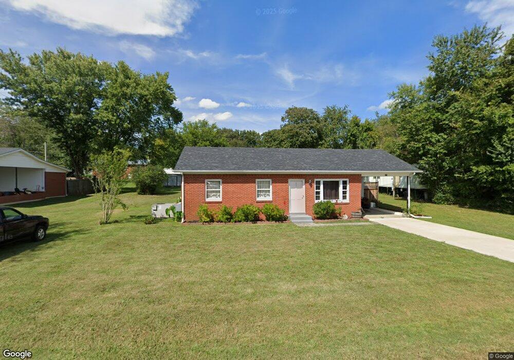
115 College Ave Linden, TN 37096
Estimated Value: $105,000 - $236,000
--
Bed
1
Bath
900
Sq Ft
$158/Sq Ft
Est. Value
About This Home
This home is located at 115 College Ave, Linden, TN 37096 and is currently estimated at $142,559, approximately $158 per square foot. 115 College Ave is a home located in Perry County.
Ownership History
Date
Name
Owned For
Owner Type
Purchase Details
Closed on
Jul 11, 2007
Sold by
Williams Betty
Bought by
Brower Ward
Current Estimated Value
Purchase Details
Closed on
Jan 27, 2005
Sold by
Not Provided
Bought by
Downer Mark E
Purchase Details
Closed on
May 9, 2002
Bought by
Downer Mark E Mcleod Tonya L
Purchase Details
Closed on
Mar 8, 1993
Bought by
Pat'S Inc
Purchase Details
Closed on
Oct 16, 1989
Bought by
Young David N and Young Serena H
Purchase Details
Closed on
Jun 30, 1967
Bought by
Young Dewey F and Young Lessie
Create a Home Valuation Report for This Property
The Home Valuation Report is an in-depth analysis detailing your home's value as well as a comparison with similar homes in the area
Home Values in the Area
Average Home Value in this Area
Purchase History
| Date | Buyer | Sale Price | Title Company |
|---|---|---|---|
| Brower Ward | $57,000 | -- | |
| Downer Mark E | -- | -- | |
| Downer Mark E Mcleod Tonya L | $55,000 | -- | |
| Pat'S Inc | $36,500 | -- | |
| Young David N | $20,000 | -- | |
| Young Dewey F | -- | -- |
Source: Public Records
Tax History Compared to Growth
Tax History
| Year | Tax Paid | Tax Assessment Tax Assessment Total Assessment is a certain percentage of the fair market value that is determined by local assessors to be the total taxable value of land and additions on the property. | Land | Improvement |
|---|---|---|---|---|
| 2025 | $411 | $14,675 | $0 | $0 |
| 2024 | $411 | $14,675 | $1,500 | $13,175 |
| 2023 | $337 | $14,675 | $1,500 | $13,175 |
| 2022 | $411 | $14,675 | $1,500 | $13,175 |
| 2021 | $411 | $14,675 | $1,500 | $13,175 |
| 2020 | $337 | $14,675 | $1,500 | $13,175 |
| 2019 | $432 | $14,475 | $1,500 | $12,975 |
| 2018 | $432 | $14,475 | $1,500 | $12,975 |
| 2017 | $428 | $14,475 | $1,500 | $12,975 |
| 2016 | $428 | $14,475 | $1,500 | $12,975 |
| 2015 | $421 | $14,475 | $1,500 | $12,975 |
| 2014 | $421 | $14,475 | $1,500 | $12,975 |
| 2013 | $409 | $14,082 | $0 | $0 |
Source: Public Records
Map
Nearby Homes
- 122 Shelton St
- 130 Elm Ln
- 245 S Mill St
- 141 Maple St
- 218 Cedar Ave
- 107 Possum Trot Ln
- 0 Church St
- 0 Treadwell Prong Unit RTC2707562
- 628 Starlight Dr
- 8884 U S Highway 412
- Lot 5 Campers Ln
- Lot 4 Campers Ln
- Lot 8 Campers Ln
- Lot 9 Campers Ln
- Lot 7 Campers Ln
- Lot 6 Campers Ln
- Lot 15 Campers Ln
- Lot 10 Campers Ln
- Lot 11 Campers Ln
- Lot 17 Campers Ln
- 121 College Ave
- 113 College Ave
- 114 W Brooklyn St
- 118 W Brooklyn St
- 110 W Brooklyn St
- 123 College Ave
- 107 College Ave
- 106 W Brooklyn St
- 124 W Brooklyn St
- 127 College Ave
- 321 S Mill St
- 113 W Brooklyn St
- 117 W Brooklyn St
- 119 W Brooklyn St
- 119 W Brooklyn Ave
- 100 W Brooklyn St
- 109 W Brooklyn St
- 130 W Brooklyn St
- 130 W Brooklyn St
- 131 College Ave