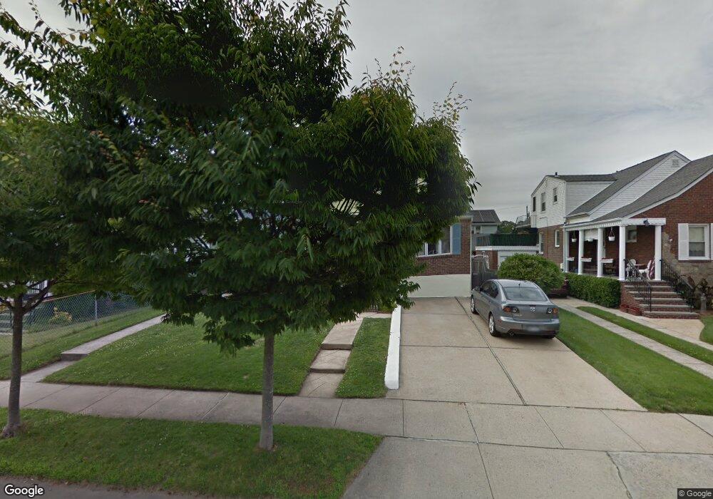
115 Davison Ave Lynbrook, NY 11563
Estimated Value: $683,000 - $722,608
3
Beds
2
Baths
1,305
Sq Ft
$539/Sq Ft
Est. Value
About This Home
This home is located at 115 Davison Ave, Lynbrook, NY 11563 and is currently estimated at $702,804, approximately $538 per square foot. 115 Davison Ave is a home located in Nassau County with nearby schools including Davison Avenue Intermediate School, Maurice W. Downing Primary K-2 School, and Howard T Herber Middle School.
Ownership History
Date
Name
Owned For
Owner Type
Purchase Details
Closed on
Oct 18, 2010
Sold by
Bruce Richard
Bought by
Malatestinic Michael
Current Estimated Value
Home Financials for this Owner
Home Financials are based on the most recent Mortgage that was taken out on this home.
Original Mortgage
$322,087
Outstanding Balance
$212,759
Interest Rate
4.37%
Mortgage Type
FHA
Estimated Equity
$490,045
Purchase Details
Closed on
Aug 1, 2001
Sold by
Romero Robert A
Bought by
Bruce Richard
Purchase Details
Closed on
Jul 24, 1996
Sold by
Sansone Joseph
Bought by
Romero Robert and Romero Janine
Create a Home Valuation Report for This Property
The Home Valuation Report is an in-depth analysis detailing your home's value as well as a comparison with similar homes in the area
Home Values in the Area
Average Home Value in this Area
Purchase History
| Date | Buyer | Sale Price | Title Company |
|---|---|---|---|
| Malatestinic Michael | $335,000 | -- | |
| Bruce Richard | $270,000 | Michael J Fleming | |
| Romero Robert | $140,000 | -- |
Source: Public Records
Mortgage History
| Date | Status | Borrower | Loan Amount |
|---|---|---|---|
| Open | Malatestinic Michael | $322,087 |
Source: Public Records
Tax History Compared to Growth
Tax History
| Year | Tax Paid | Tax Assessment Tax Assessment Total Assessment is a certain percentage of the fair market value that is determined by local assessors to be the total taxable value of land and additions on the property. | Land | Improvement |
|---|---|---|---|---|
| 2025 | $8,839 | $451 | $181 | $270 |
| 2024 | $967 | $451 | $181 | $270 |
| 2023 | $7,639 | $464 | $186 | $278 |
| 2022 | $7,639 | $469 | $188 | $281 |
| 2021 | $10,785 | $456 | $183 | $273 |
| 2020 | $7,235 | $527 | $454 | $73 |
| 2019 | $6,404 | $565 | $457 | $108 |
| 2018 | $6,388 | $602 | $0 | $0 |
| 2017 | $5,699 | $640 | $404 | $236 |
| 2016 | $6,624 | $771 | $487 | $284 |
| 2015 | $1,145 | $771 | $487 | $284 |
| 2014 | $1,145 | $771 | $487 | $284 |
| 2013 | $1,050 | $771 | $487 | $284 |
Source: Public Records
Map
Nearby Homes
- 29 Summit Ave
- 42 Hendrickson Ave
- 64 Hodson Ave
- 90 Pearsall Ave
- 63 Central Ave
- 127 Hempstead Ave
- 31 Grace Ave
- 57 Nieman Ave
- 192 Sherman St
- 43 Nieman Ave
- 75 Noble St Unit 126
- 75 Noble St Unit 219
- 224 Kensington Rd
- 92 Walnut St
- 1 Nassau Blvd
- 21 Clark Ave
- 61 Harvard Ave
- 20 Daley Place Unit 104
- 30 Daley Place Unit 247
- 20 Daley Place Unit 225
- 111 Davison Ave
- 117 Davison Ave
- 109 Davison Ave
- 116 Central Ave
- 123 Davison Ave
- 120 Central Ave
- 112 Central Ave
- 0 Davison Ave
- 124 Central Ave
- 101 Davison Ave
- 101 Davison Ave Unit 2
- 101 Davison Ave Unit 1
- 112 Davison Ave
- 108 Davison Ave
- 108 Davison Ave Unit 2
- 36 Hodson Ave
- 97 Davison Ave
- 6 Green Ave
- 104 Davison Ave
- 124 Davison Ave