115 Dwight St Unit 185 Springfield, MA 01103
Metro Center Neighborhood
Studio
--
Bath
84,420
Sq Ft
30,840
Sq Ft Lot
About This Home
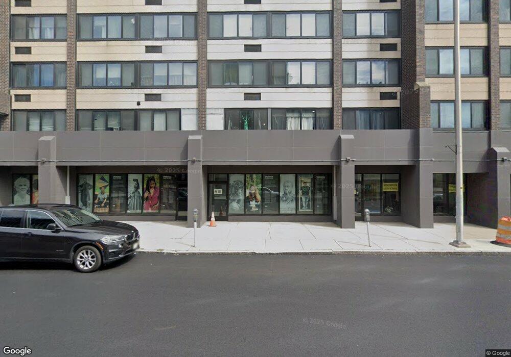
This home is located at 115 Dwight St Unit 185, Springfield, MA 01103. 115 Dwight St Unit 185 is a home located in Hampden County with nearby schools including High School Of Commerce, Springfield High School of Science and Technology, and Roger L. Putnam Vocational Technical Academy.
Ownership History
Date
Name
Owned For
Owner Type
Purchase Details
Closed on
Dec 13, 2018
Sold by
Related Springfield Assoc
Bought by
Chestnut Park Preserv Lp
Home Financials for this Owner
Home Financials are based on the most recent Mortgage that was taken out on this home.
Original Mortgage
$5,000,000
Outstanding Balance
$4,370,448
Interest Rate
4.8%
Mortgage Type
Purchase Money Mortgage
Create a Home Valuation Report for This Property
The Home Valuation Report is an in-depth analysis detailing your home's value as well as a comparison with similar homes in the area
Home Values in the Area
Average Home Value in this Area
Purchase History
| Date | Buyer | Sale Price | Title Company |
|---|---|---|---|
| Chestnut Park Preserv Lp | $12,000,000 | -- |
Source: Public Records
Mortgage History
| Date | Status | Borrower | Loan Amount |
|---|---|---|---|
| Open | Chestnut Park Preserv Lp | $5,000,000 |
Source: Public Records
Tax History
| Year | Tax Paid | Tax Assessment Tax Assessment Total Assessment is a certain percentage of the fair market value that is determined by local assessors to be the total taxable value of land and additions on the property. | Land | Improvement |
|---|---|---|---|---|
| 2025 | -- | $13,017,600 | $1,935,000 | $11,082,600 |
| 2024 | -- | $12,825,000 | $1,806,000 | $11,019,000 |
| 2023 | $0 | $11,897,800 | $1,173,900 | $10,723,900 |
| 2022 | $0 | $11,547,500 | $838,500 | $10,709,000 |
| 2021 | $0 | $3,405,800 | $838,500 | $2,567,300 |
| 2020 | $54,254 | $3,432,300 | $838,500 | $2,593,800 |
| 2019 | $105,622 | $3,432,300 | $838,500 | $2,593,800 |
| 2018 | $91,955 | $4,917,100 | $838,500 | $4,078,600 |
| 2017 | $0 | $4,542,700 | $838,500 | $3,704,200 |
| 2016 | -- | $4,142,700 | $838,500 | $3,304,200 |
| 2015 | -- | $4,142,700 | $838,500 | $3,304,200 |
Source: Public Records
Map
Nearby Homes
- 0 Maple St
- 140 Chestnut St Unit 706
- 140 Chestnut St Unit 702
- 140 Chestnut St Unit 204
- 140 Chestnut St Unit 819
- 140 Chestnut St Unit 619
- 140 Chestnut St Unit 816
- 140 Chestnut St Unit 604
- 140 Chestnut St Unit 407
- 69 Winter St
- 40 Byers St
- 52 Central St Unit 504
- 50 Central St Unit 504
- 82 Central St Unit 304
- 66 Central St Unit 404
- 64 Central St Unit 403
- 68 Central St Unit 405
- 24 Adams St
- 14 Adams St
- 270 Maple St
- 115 Dwight St
- 139 Dwight St
- 143 Dwight St
- 70 Chestnut St Unit 525
- 70 Chestnut St Unit 322
- 70 Chestnut St Unit 327
- 70 Chestnut St Unit 207 70-90
- 70 Chestnut St Unit 721
- 70 Chestnut St Unit 727
- 70 Chestnut St Unit 726
- 70 Chestnut St Unit 724
- 70 Chestnut St Unit 723
- 70 Chestnut St Unit 722
- 70 Chestnut St Unit 721
- 70 Chestnut St Unit 719
- 70 Chestnut St Unit 718
- 70 Chestnut St Unit 716
- 70 Chestnut St Unit 715
- 70 Chestnut St Unit 713
- 70 Chestnut St Unit 712
Your Personal Tour Guide
Ask me questions while you tour the home.