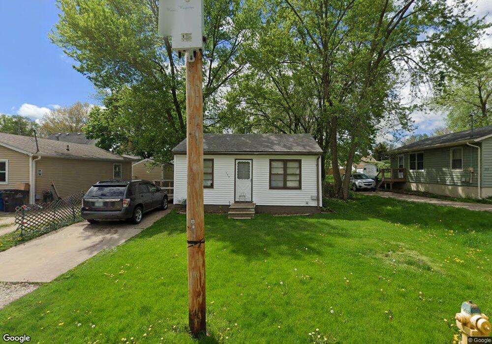
115 E Leland Ave Des Moines, IA 50315
South Central DSM NeighborhoodEstimated Value: $83,000 - $122,000
About This Home
This home is located at 115 E Leland Ave, Des Moines, IA 50315 and is currently estimated at $103,607, approximately $215 per square foot. 115 E Leland Ave is a home located in Polk County with nearby schools including South Union Elementary School, Mccombs Middle School, and Lincoln High School.
Ownership History
We collect this data history from publicly available records. To have your information removed, we recommend requesting removal directly through your county’s website.
Purchase Details
Home Financials for this Owner
Home Financials are based on the most recent Mortgage that was taken out on this home.Purchase Details
Home Values in the Area
Average Home Value in this Area
Purchase History
We collect this data history from publicly available records. To have your information removed, we recommend requesting removal directly through your county’s website.
| Date | Buyer | Sale Price | Title Company |
|---|---|---|---|
| $27,500 | -- | ||
| $27,900 | -- |
Mortgage History
We collect this data history from publicly available records. To have your information removed, we recommend requesting removal directly through your county’s website.
| Date | Status | Borrower | Loan Amount |
|---|---|---|---|
| Previous Owner | $22,500 |
Tax History
We collect this data history from publicly available records. To have your information removed, we recommend requesting removal directly through your county’s website.
| Year | Tax Paid | Tax Assessment Tax Assessment Total Assessment is a certain percentage of the fair market value that is determined by local assessors to be the total taxable value of land and additions on the property. | Land | Improvement |
|---|---|---|---|---|
| 2025 | $1,444 | $94,600 | $23,600 | $71,000 |
| 2024 | $1,444 | $83,900 | $20,700 | $63,200 |
| 2023 | $1,392 | $83,900 | $20,700 | $63,200 |
| 2022 | $1,378 | $67,900 | $17,000 | $50,900 |
| 2021 | $1,276 | $67,900 | $17,000 | $50,900 |
| 2020 | $1,320 | $59,700 | $14,900 | $44,800 |
| 2019 | $1,216 | $59,700 | $14,900 | $44,800 |
| 2018 | $1,200 | $53,800 | $13,100 | $40,700 |
| 2017 | $1,108 | $53,800 | $13,100 | $40,700 |
| 2016 | $1,074 | $49,500 | $11,900 | $37,600 |
| 2015 | $1,074 | $49,500 | $11,900 | $37,600 |
| 2014 | $1,086 | $49,600 | $11,700 | $37,900 |
Map
- 6219 S Union St
- 217 E Payton Ave
- 6200 S Union St
- 105 E Wall Ave
- 6022 SE 4th St
- 5805 SW 4th St
- 505 Payton Ave
- 433 E Payton Ave
- 6718 SE 2nd Ct
- 417 E Wall Ave
- 5501 S Union St
- 603 Lally St
- 303 Porter Ave
- 5412 SW 3rd St
- 6006 SW 7th St
- 439 E Porter Ave
- 708 Wall Ave
- 5614 SW 7th St
- 515 Cutler Ave
- 5413 SE 5th St
- 111 E Leland Ave
- 119 E Leland Ave
- 6208 SE 2nd St
- 123 E Leland Ave
- 107 E Leland Ave
- 6212 SE 2nd St
- 103 E Leland Ave
- 114 E Leland Ave
- 118 E Leland Ave
- 122 E Leland Ave
- 110 E Leland Ave
- 106 E Leland Ave
- 19 E Leland Ave
- 102 E Leland Ave
- 6203 SE 2nd St
- 110 E Lally St
- 106 E Lally St
- 6220 SE 2nd St
- 200 E Leland Ave
- 113 E Leland Ave
Ask me questions while you tour the home.