115 Fieldstone Dr Pulaski, TN 38478
Estimated Value: $218,000 - $284,000
--
Bed
2
Baths
1,376
Sq Ft
$183/Sq Ft
Est. Value
About This Home
This home is located at 115 Fieldstone Dr, Pulaski, TN 38478 and is currently estimated at $251,921, approximately $183 per square foot. 115 Fieldstone Dr is a home located in Giles County with nearby schools including Richland Elementary School and Richland School.
Ownership History
Date
Name
Owned For
Owner Type
Purchase Details
Closed on
Sep 30, 2019
Sold by
Harrison Gina Lynn and Harrison Jon S
Bought by
Lane Michael Dale and Lane Sandra Kay
Current Estimated Value
Home Financials for this Owner
Home Financials are based on the most recent Mortgage that was taken out on this home.
Original Mortgage
$124,900
Outstanding Balance
$109,403
Interest Rate
3.6%
Mortgage Type
Seller Take Back
Estimated Equity
$142,518
Purchase Details
Closed on
Jun 18, 2009
Sold by
Harrison Gina Lynn
Bought by
Harrison Gina Lynn
Purchase Details
Closed on
Mar 21, 2000
Sold by
Owens Roger E
Bought by
Eubank Gina L
Create a Home Valuation Report for This Property
The Home Valuation Report is an in-depth analysis detailing your home's value as well as a comparison with similar homes in the area
Home Values in the Area
Average Home Value in this Area
Purchase History
| Date | Buyer | Sale Price | Title Company |
|---|---|---|---|
| Lane Michael Dale | $125,000 | None Available | |
| Harrison Gina Lynn | -- | -- | |
| Eubank Gina L | $79,000 | -- |
Source: Public Records
Mortgage History
| Date | Status | Borrower | Loan Amount |
|---|---|---|---|
| Open | Lane Michael Dale | $124,900 |
Source: Public Records
Tax History Compared to Growth
Tax History
| Year | Tax Paid | Tax Assessment Tax Assessment Total Assessment is a certain percentage of the fair market value that is determined by local assessors to be the total taxable value of land and additions on the property. | Land | Improvement |
|---|---|---|---|---|
| 2025 | $890 | $44,800 | $0 | $0 |
| 2024 | $890 | $44,800 | $6,725 | $38,075 |
| 2023 | $890 | $44,800 | $6,725 | $38,075 |
| 2022 | $762 | $38,350 | $6,725 | $31,625 |
| 2021 | $689 | $24,375 | $4,100 | $20,275 |
| 2020 | $689 | $24,375 | $4,100 | $20,275 |
| 2019 | $667 | $24,375 | $4,100 | $20,275 |
| 2018 | $667 | $23,600 | $4,100 | $19,500 |
| 2017 | $667 | $23,600 | $4,100 | $19,500 |
| 2016 | $701 | $23,600 | $4,250 | $19,350 |
| 2015 | $654 | $23,600 | $4,250 | $19,350 |
| 2014 | $654 | $23,604 | $0 | $0 |
Source: Public Records
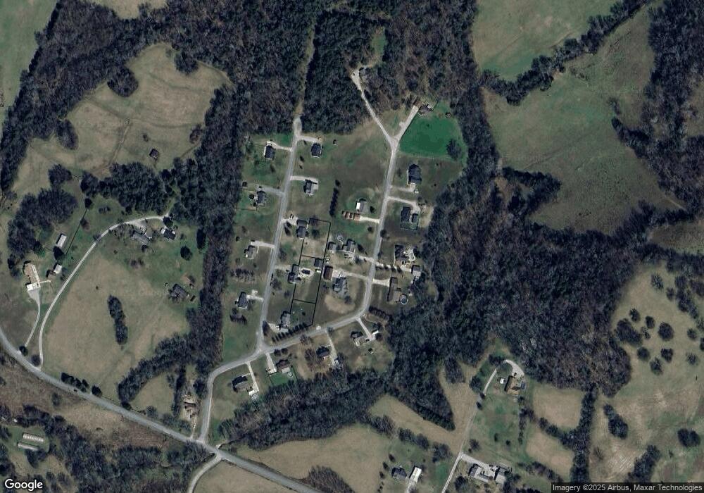
Map
Nearby Homes
- 3 Haywood Creek Rd
- 1 Haywood Creek Rd
- 2 Haywood Creek Rd
- 5 Haywood Creek Rd
- 575 Haywood Creek Rd
- 0 Shady Ln Unit RTC2914418
- 3345 Pigeon Roost Rd
- 215 Desperado Ave
- 215 Al Roman Rd
- 216 Desperado Ave
- 202 Desperado Ave
- 117 Sun Rise Ridge
- 1 Sleepy Hollow Rd
- 175 Birch Ln
- 300 Milky Way Dr
- 393 Jones Rd
- 101 Paula Place
- 257 Milky Way Dr
- 155 Poling Dr
- 2921 Clear Creek Rd